McCarty Ranch Preserve
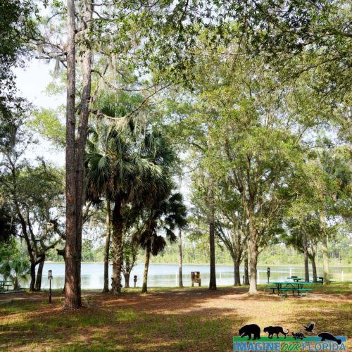
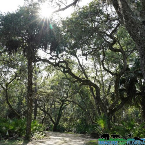
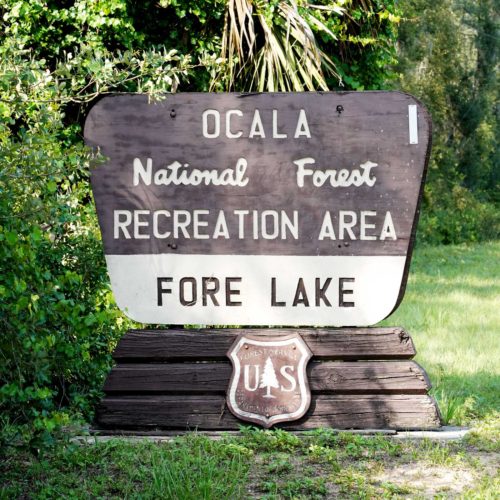
Fore Lake Recreation Area
Tiger Bay State Forest
Lithia Springs Conservation Park
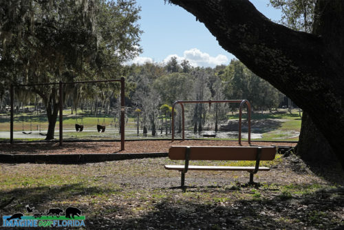
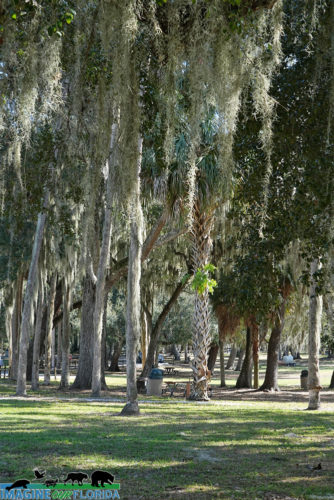
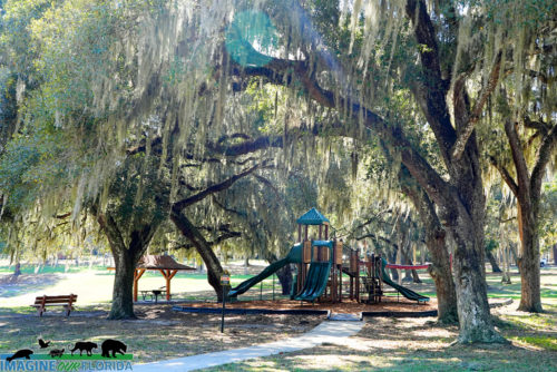
Magnolia Park
Bahia Honda State Park
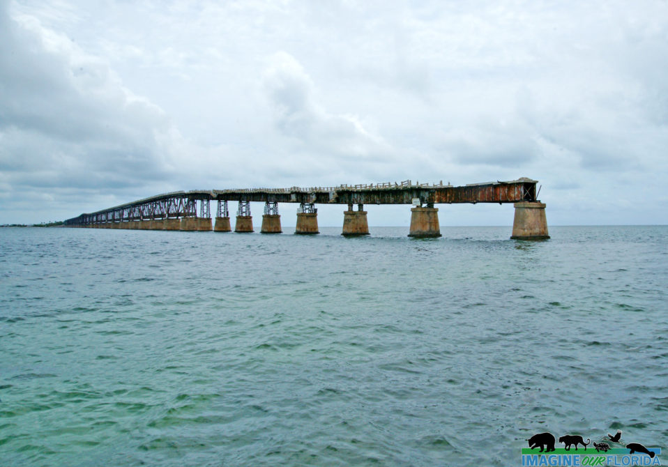
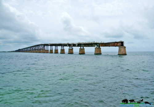
Bahia Honda State Park, located at mile marker 37 in the Florida Keys, is made up of over 500 acres and an offshore island that is waiting for you to explore. Henry Flagler’s historic Overseas Railroad is a stark reminder of the 1937 Category 5 Labor Day Hurricane.
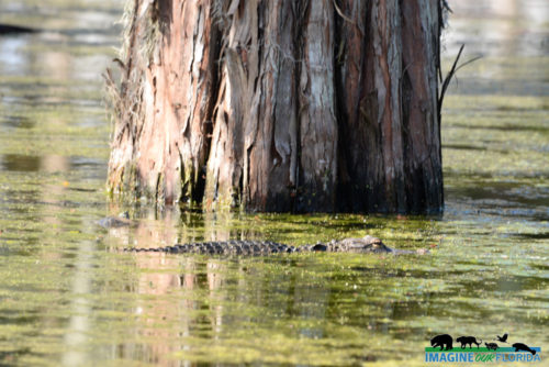
Bahia Honda State Park is best known for its beaches, Calusa and Sandspur Beach. Favorite water activities include snorkeling, swimming, and scuba diving. Canoeing, kayaking, and boating are popular with easy access to both the Gulf of Mexico and the Atlantic Ocean. Watch for sea turtles and bottle-nosed dolphins.
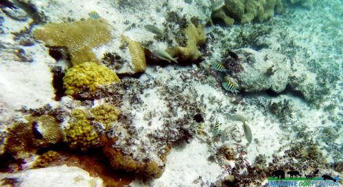
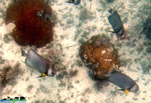
Snorkeling tours offer the opportunity to explore the sea life at Looe Key National Marine Sanctuary. Look for starfish, spiny lobsters, queen conchs, and nurse sharks.
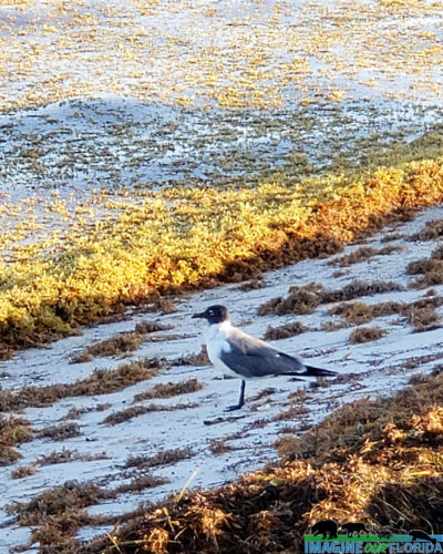
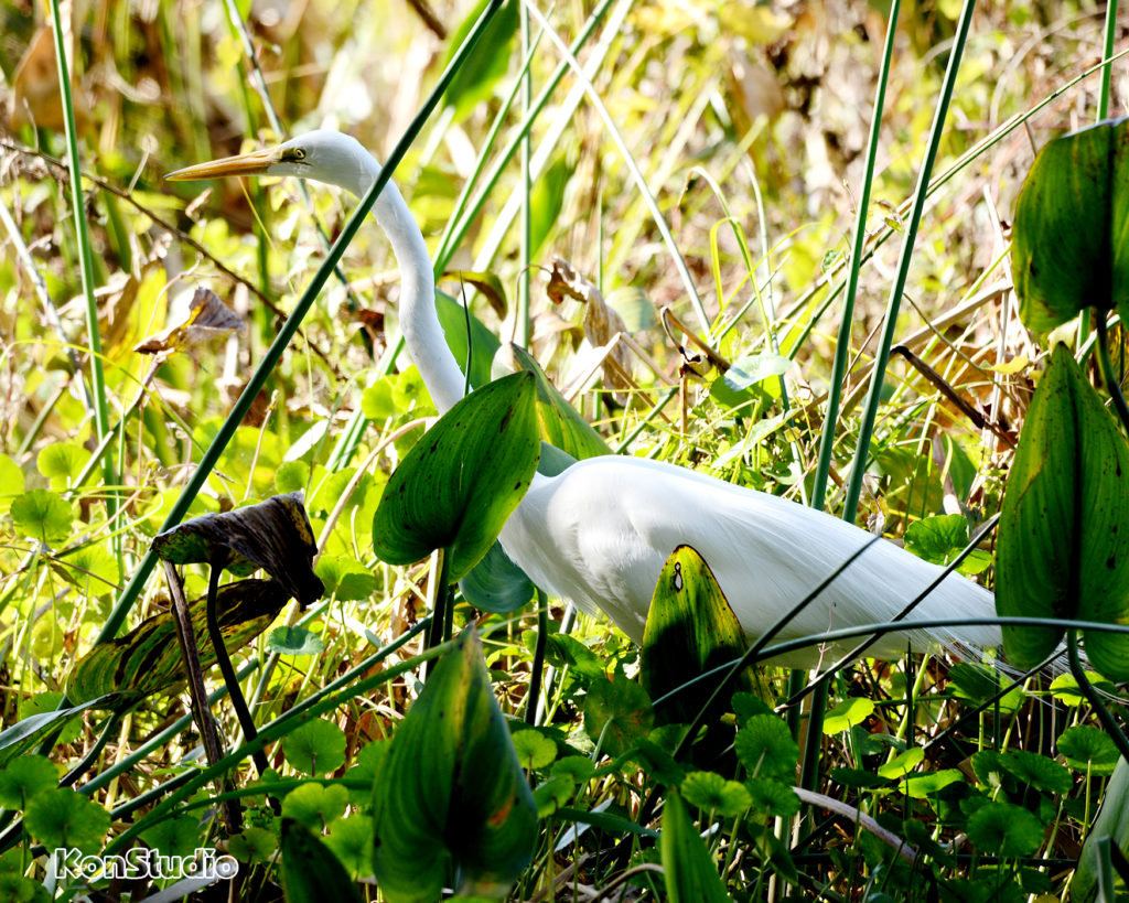
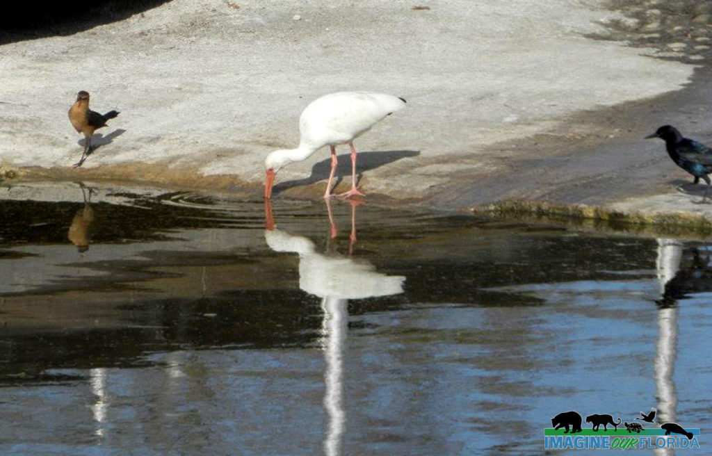
Saunter along the nature trail that leads you to the Old Bahia Honda Bridge. Enjoy the view while you admire herons, egrets, and ibises. A 3-1/2 mile hard surface road runs the length of Bahia Honda and is a perfect way to enjoy the park on your bicycle.
Bring your lunch and eat at a picnic area with a grill. Leashed pets are allowed in very limited areas.
For those who want to take a few days to experience all that Bahia Honda State Park has to offer, campsites are available for tents and RVs. There are six furnished cabins that accommodate 6 people in each.
Be sure to stay for stargazing. Bahia Honda Key is the darkest location in the Florida Keys.
For more information: https://www.floridastateparks.org/bahiahonda/
Photo Credit: Dan, Nancy, and Christian Kon
Collier-Seminole State Park
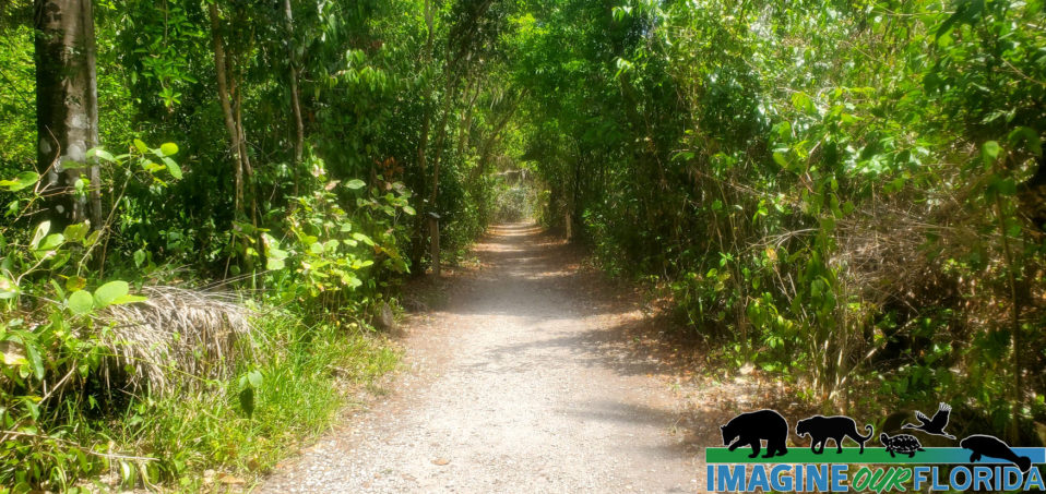
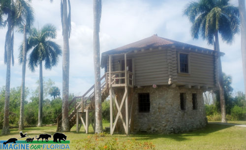
Collier-Seminole State Park, located in Naples, is a 7,271-acre park that offers the opportunity to explore part of the Great Mangrove Swamp of South Florida and an original stand of royal palms. Discover wildlife and wildflowers like those in the Everglades.
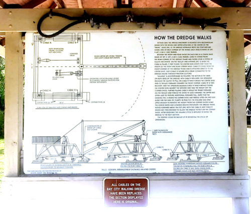
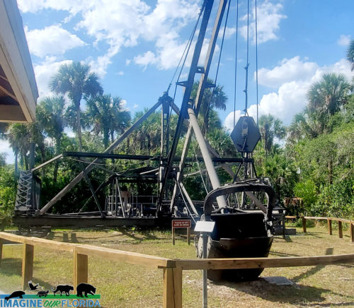
Learn about the Bay City Walking Dredge No. 489, a mechanical engineering marvel that walked forward as it dredged limestone to create a road from Tampa0 to Miami.
Collier-Seminole State Park has four wonderful nature trails ranging from less than a mile on the Royal Palm Hammock Nature Trail to the 5.25 mile Strand Swamp Trail. Discover the plants and animals, many imperiled, that live in the park. The park is designated a Great Florida Birding and Wildlife Trail so be sure to bring your camera/binoculars.
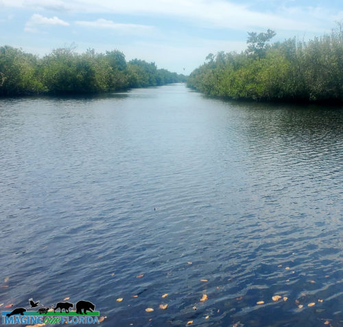
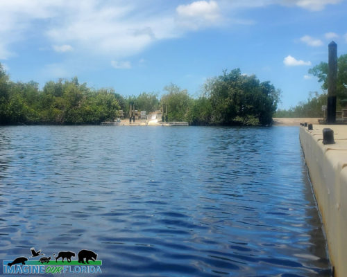
Launch your canoe or kayak at the ADA accessible launch. Explore the Blackwater River on the 13.5-mile canoe trail. As you paddle through the mangroves to Blackwater Bay, look for crocodiles, alligators, otters, manatees, and a variety of wading birds.
Primitive camping sites and campsites for your RV and tents are available. There are bike trails, two pavilions, picnic tables, and a playground for your enjoyment. Leashed pets are welcome.
For more information: https://www.floridastateparks.org/…/collier-seminole-state-…
Photo Credit: Ileana Rodriguez
Mullet Lake Park
– Mullet Lake Park-
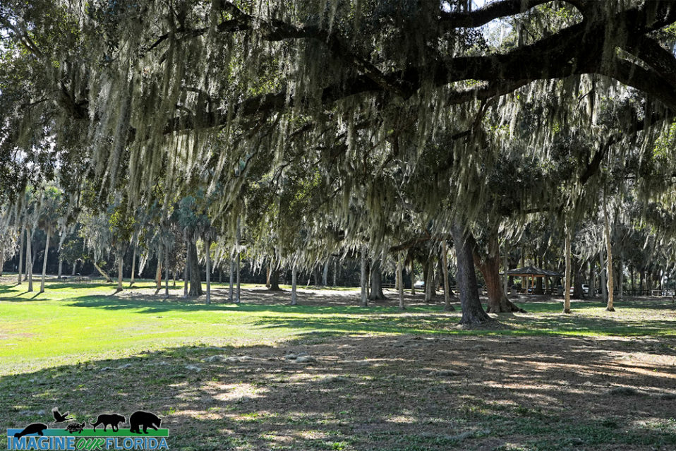
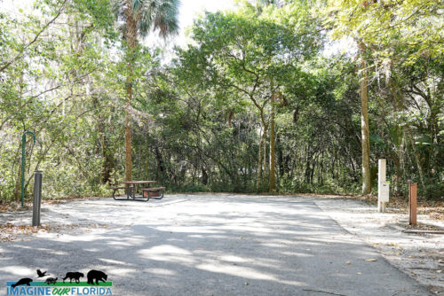
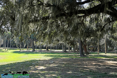
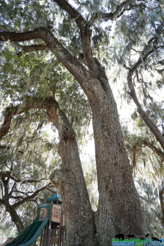
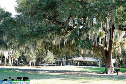
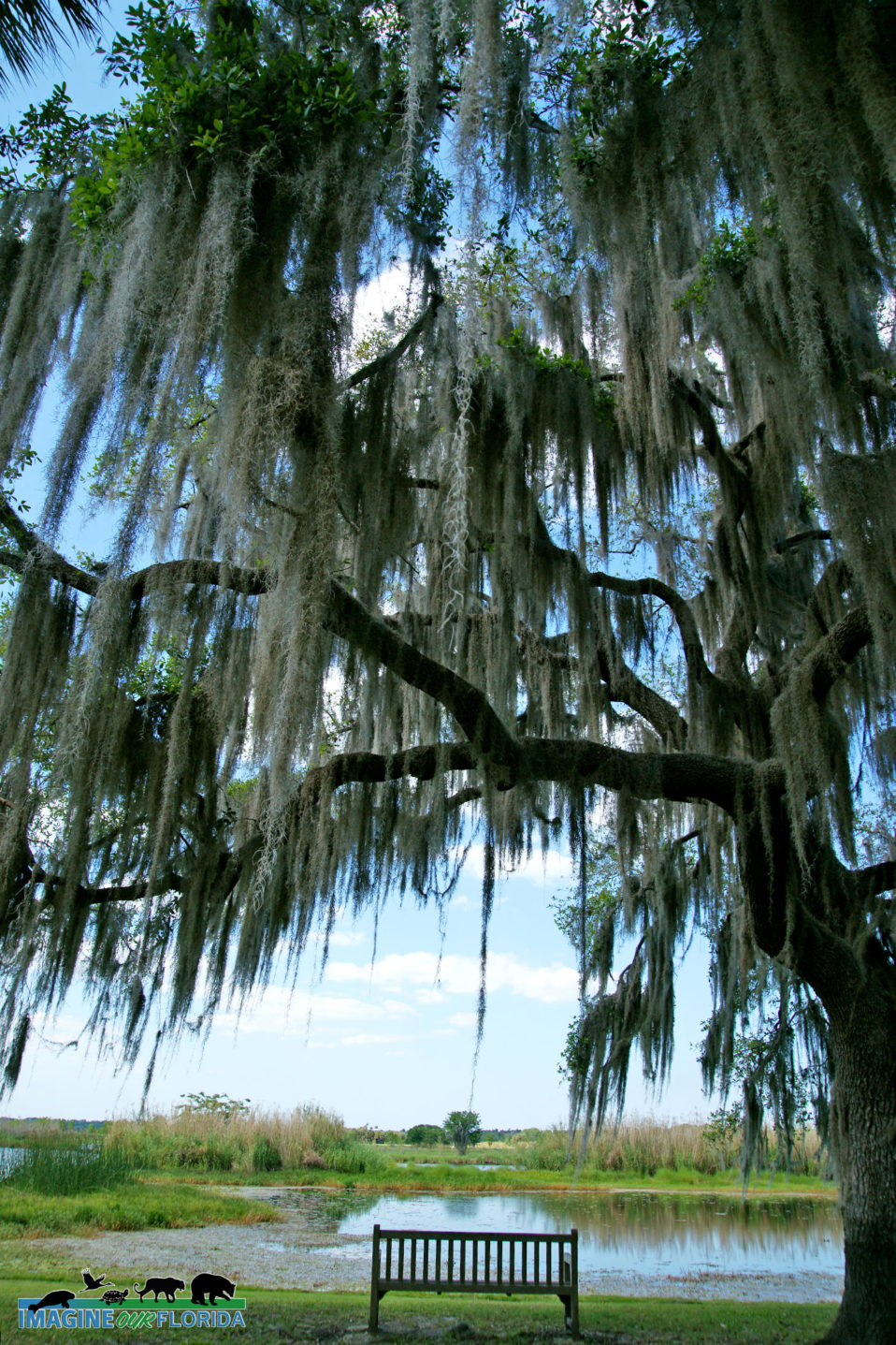
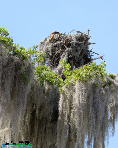
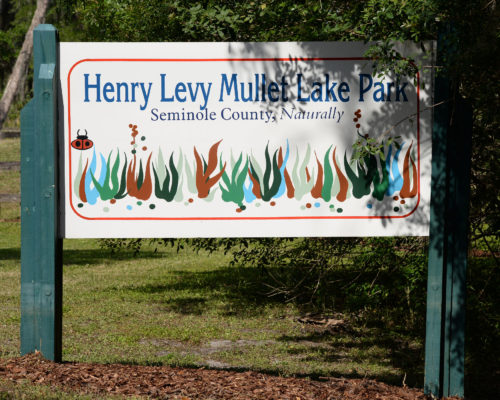
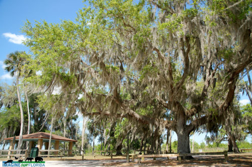
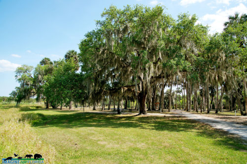
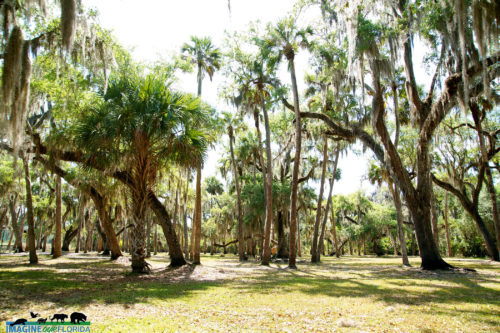
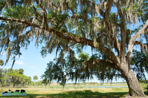
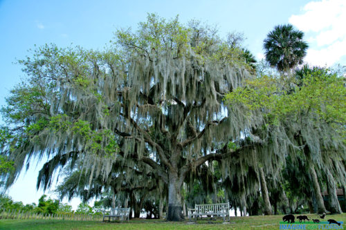
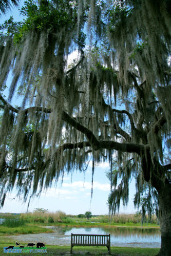
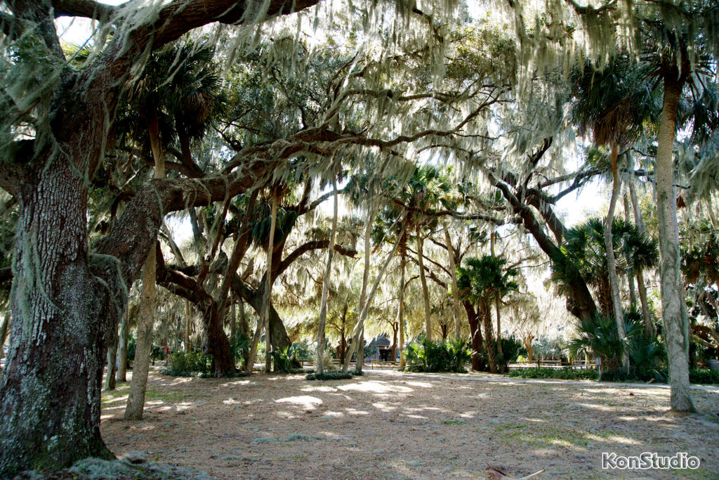
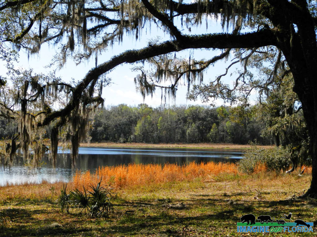
Located in Geneva in Seminole County, Mullet Lake Park is best known for its 8 primitive camping sites, its group camping site, and boat launches. The 55-acre park borders Lake Mullet and the St Johns River. This quaint park offers the opportunity to sit and relax under ancient oak trees as you take in the sights and sounds at this remote location.
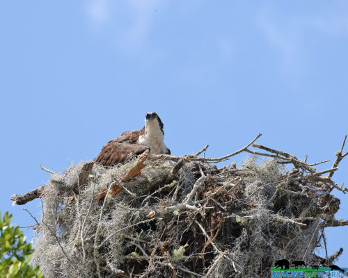
Listen for the sounds of birds, fish jumping, and frogs croaking. Look for birds of prey, shorebirds, and a variety of blooming wildflowers waiting to be admired.
For more information click here: https://www.seminolecountyfl.gov/…/301554-Mullet-Lake-Park.…
Photo credit: Dan Kon
Fort Drum Marsh Conservation Area
Fort Drum Marsh Conservation Area
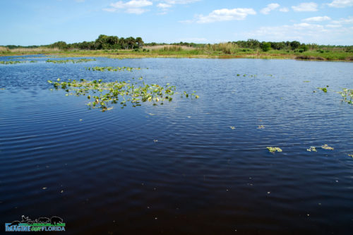
As part of the Upper St. Johns River Basin Project, Fort Drum Marsh Conservation Area includes a freshwater marsh at southernmost headwaters of the St. Johns River, a hardwood swamp, pine flatwoods, and a prairie. Together, The U.S. Army Corps of Engineers and St. Johns River Water Management District have restored the original wetlands which resulted in better water quality, flood control, and diverse animal and plant habitats.
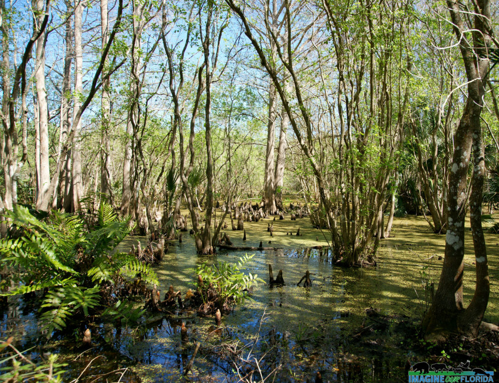
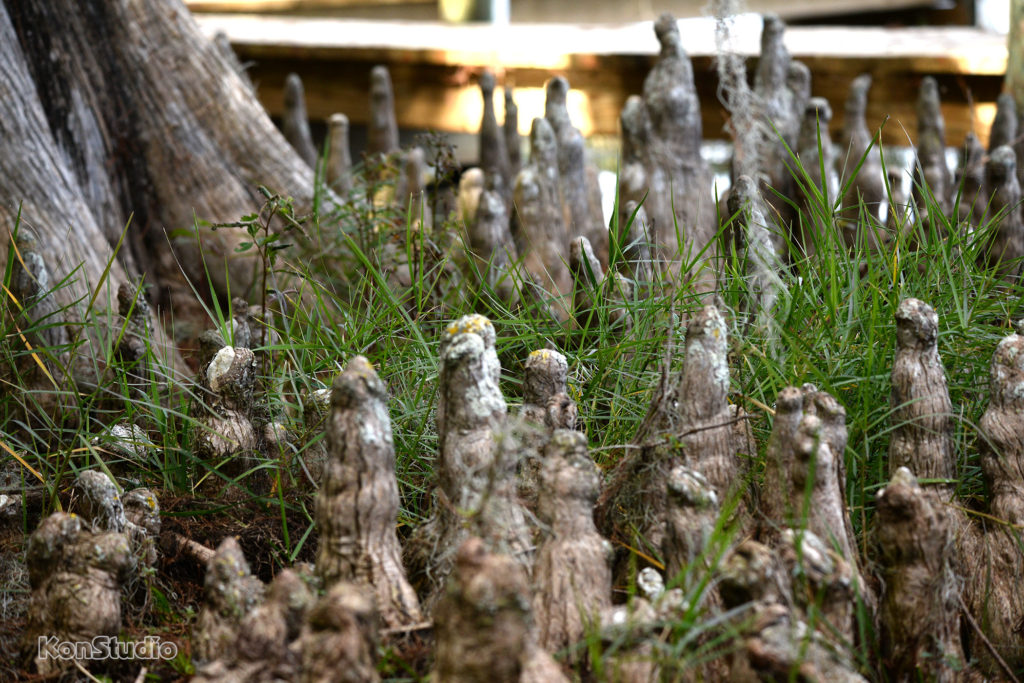
Family-friendly recreational activities include hiking on some or all of the 5 miles of trails, picnicking, horseback riding, bicycling, primitive camping at designated sites, wildlife viewing, and canoeing. Saunter through a hardwood swamp on a boardwalk shaded by Cedar Cypress Trees as you make your way to Hog Island where you will find more trails to explore.
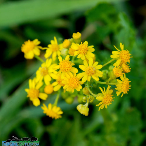
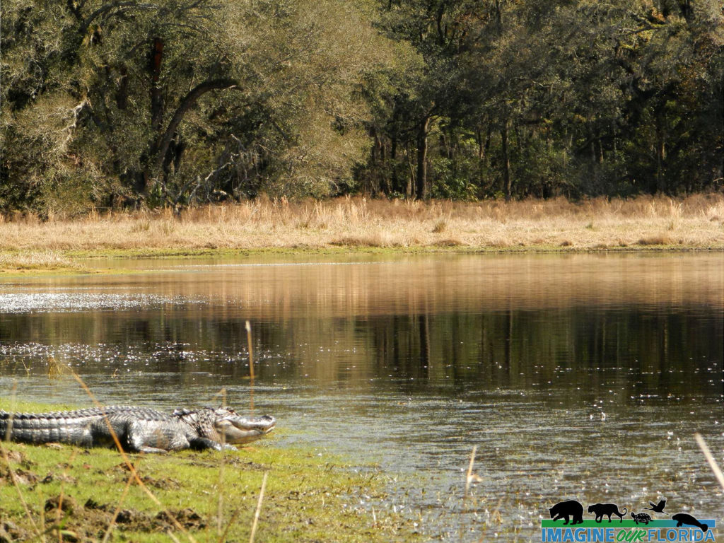
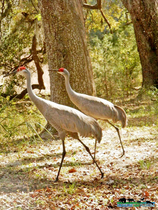
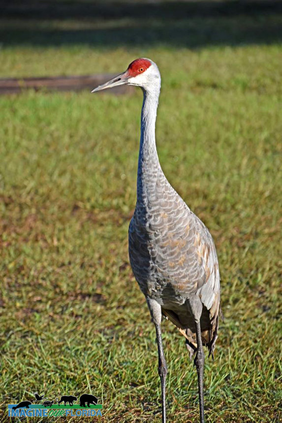
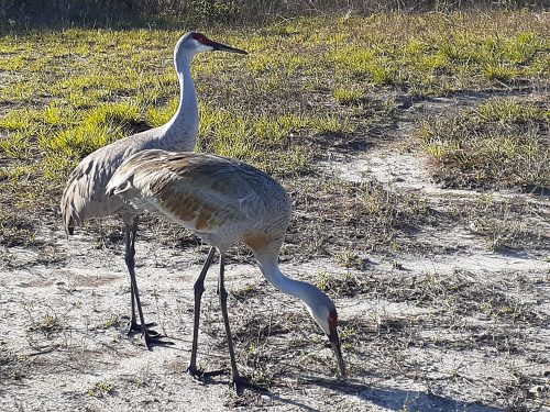
Look for migratory birds, bald eagles, owls and other raptors, sandhill cranes, turkeys, wood storks, caracara, white-tailed deer, dragonflies, turtles, and alligators. Discover the vast number of wildflowers and the pollinators who rely on them.
Dogs are welcome provided they are leashed at all times. Fort Drum Marsh Conservation Area, located about 10 miles east of Yeehaw Junction, is fun for all and is waiting for you to create memories to last a lifetime! Plan your trip today!
For a trail guide and more information:
https://www.sjrwmd.com/lands/recreation/fort-drum-marsh/
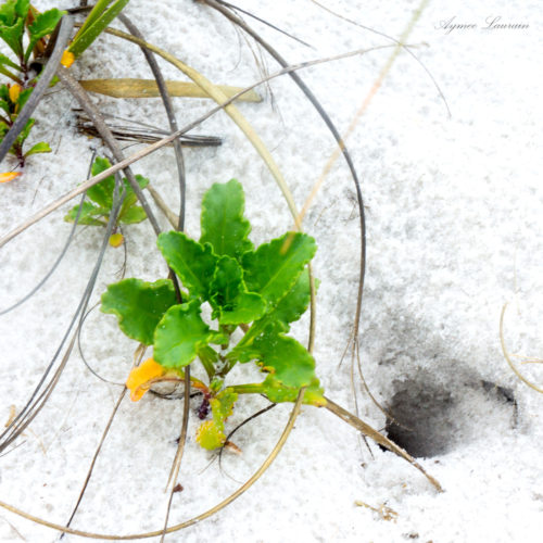
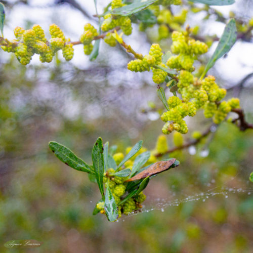
Photo credit: Dan Kon, Aymee Laurain, Andy Waldo
Colt Creek State Park
Colt Creek State Park
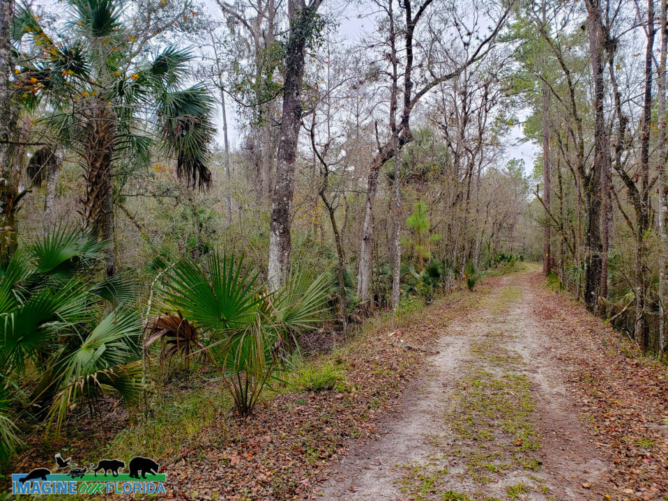
Hike, bike, paddle, or horseback ride through 5000 acres of wild Florida.
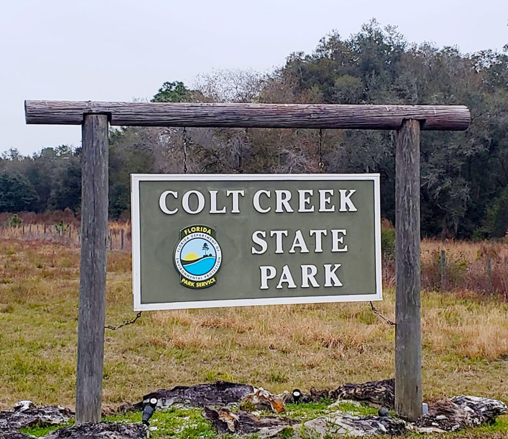
Located in Lakeland, Colt Creek State Park is waiting to be explored.
Colt Creek State Park was purchased in 2006 and became Florida’s 160th state park. The land had previously been used as a cattle ranch, for silviculture, and for lime rock mining. A few of the large pits dug for lime rock mining reached the aquifer. Today, the water that flows up from the aquifer has created lakes that provide habitat for wildlife.
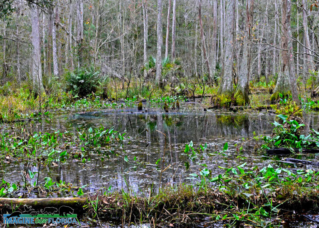
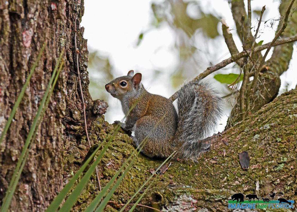
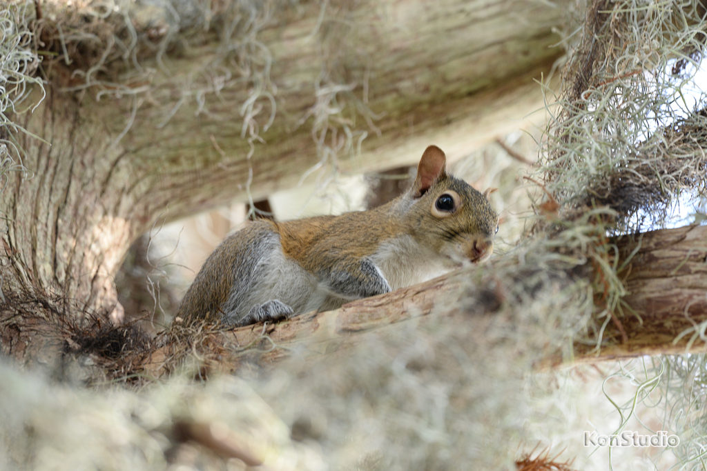
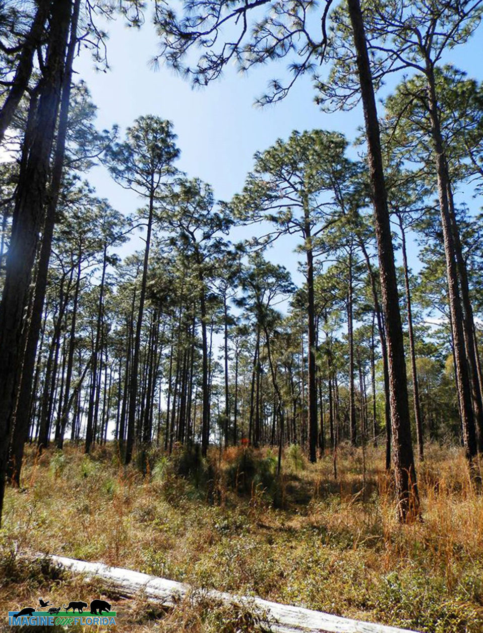
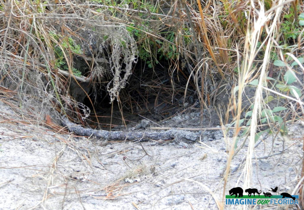
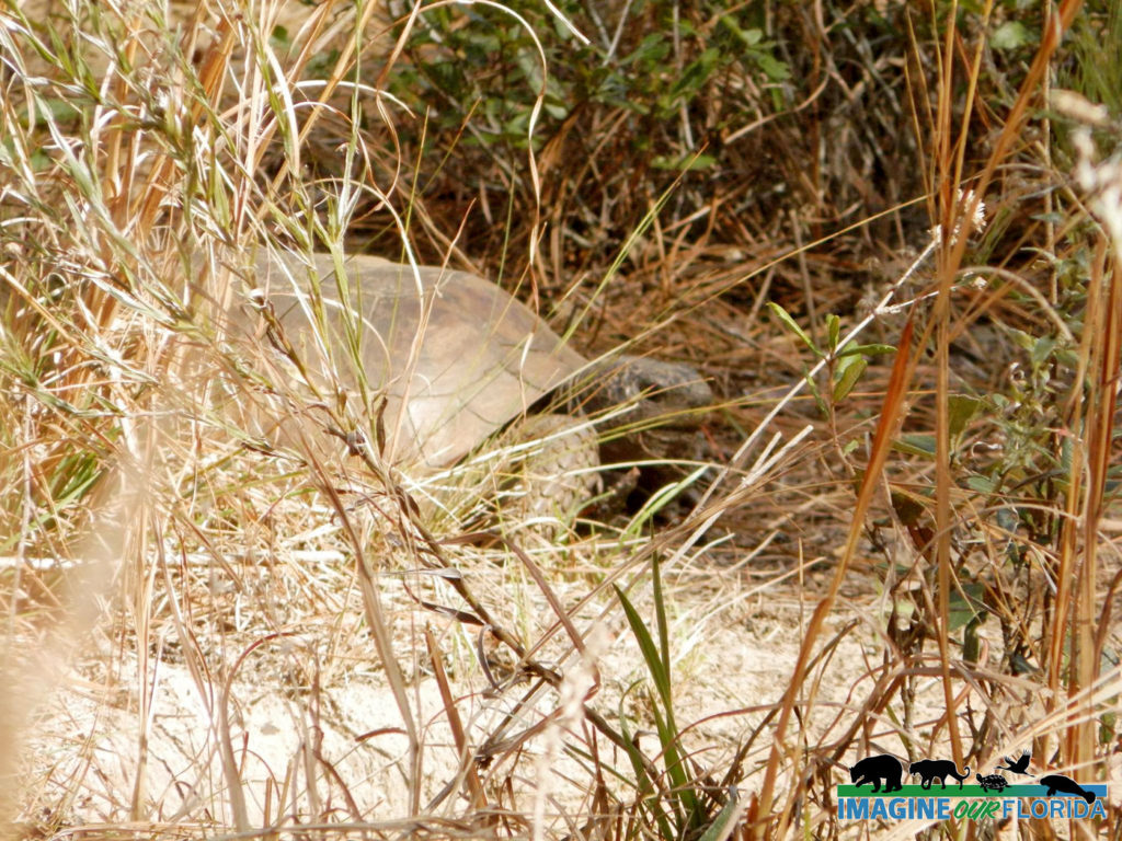
There are 15-miles of multi-use trails that lead you through wetlands, open vistas, and longleaf and slash pine forests. Discover an abundance of wildflowers and the pollinators who rely on them. Look for fox squirrels, turkeys, bobcats, otters, gopher tortoises, a variety of birds including eagles, and of course, alligators.
Rent a canoe or kayak or bring your own. Paddle Mac Lake, Middle Lake, or Little Lake as you share the water with wading birds and turtles.
Bring your horse and ride through creeks, and streams while admiring the beauty of the three lakes.
RV, tent, primitive, equestrian, and group camping sites are available. Star-gaze at one of the darkest sky sites in Florida. Pavillions are a perfect place to host your outdoor event.
Bring your lunch and cook it on one of the provided grills or simply enjoy it at one of the picnic tables. Dogs on a 6-foot leash are welcome. Be sure to bring your camera or binoculars since Colt Creek State Park is designated as a Great Florida Birding and Wildlife Trail.
Photo Credit: Andy Waldo
For more information: https://www.floridastateparks.org/par…/colt-creek-state-park
Trimble Park
Trimble Park —
Nestled between Lake Beauclair and Lake Carlton on the Harris Chain of Lakes lies an outdoor paradise. Trimble Park, operated by Orange County, is located near Mt. Dora in Tangerine.
Saunter along the 1.2-mile loop trail surrounded by ancient oaks. The trail runs along the perimeter of the 71-acre park. Wind through forests of pine, oak, and cypress trees. Walk on a boardwalk through the wetlands. Pause near the lakes to enjoy the view and the wildlife who make their homes there. There are plenty of benches to rest on for your wildlife viewing pleasure. Much of the trail is shaded. Bring your lunch and enjoy it at one of the many picnic tables, some of which are under a shaded structure.
Camping sites are available for your tent or RV. Launch your boat, canoe, or kayak from the boat dock. There are playgrounds for your kids. Your dogs on a 6-ft leash are welcome too!
For more information: http://orangecountyfl.net/CultureParks/Parks.aspx…
Park map and more: https://www.ocfl.net/…/Camping%20at%20Orange%20County%20Par…
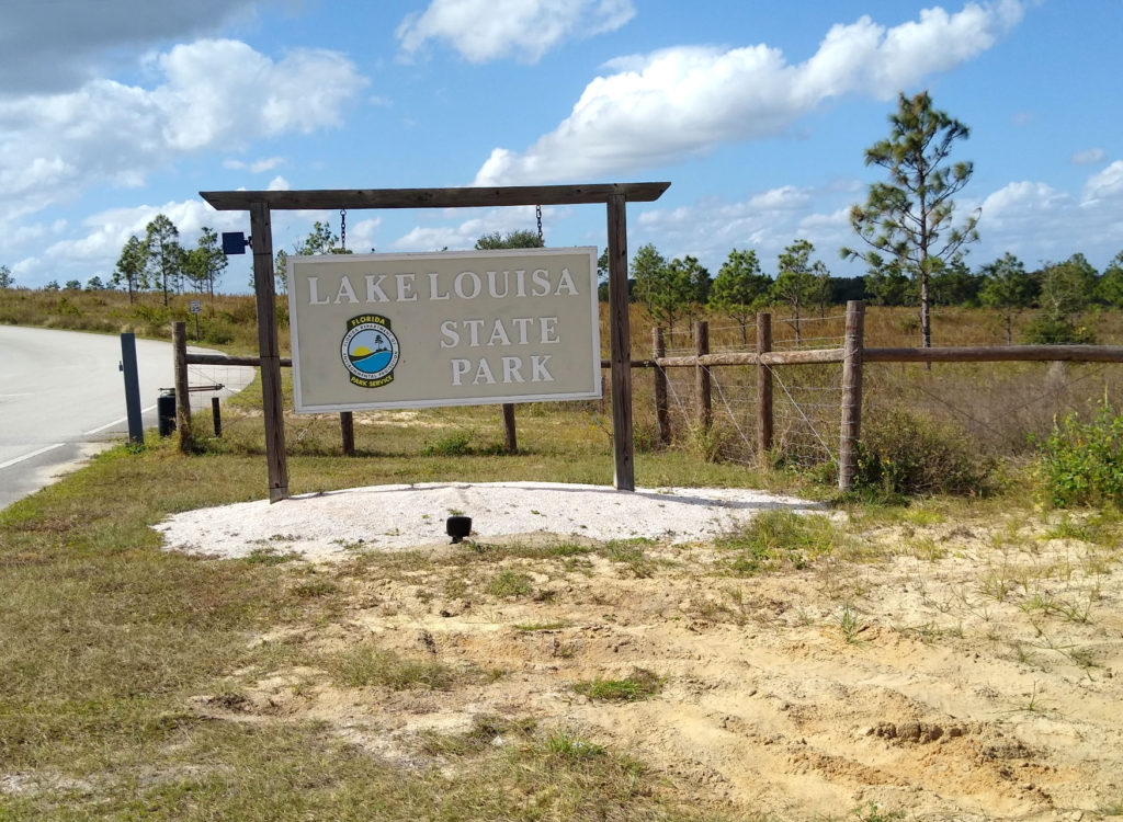
Lake Louisa State Park
Lake Louisa State Park
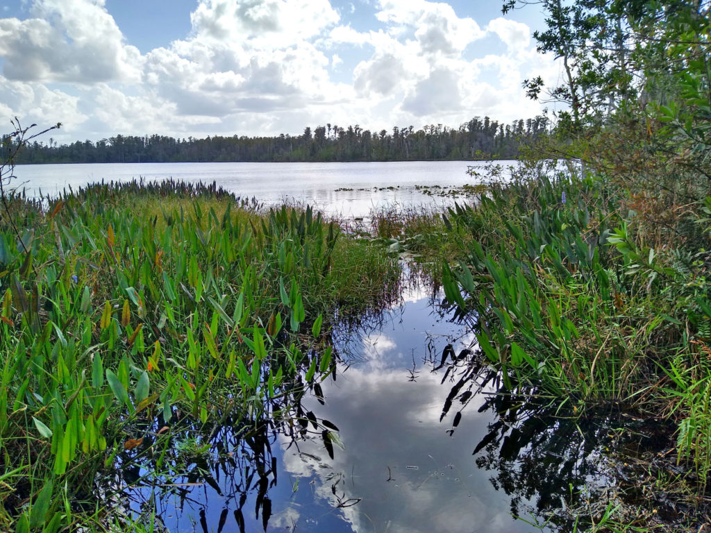
If you are looking for somewhere to get some fresh air and see some of Florida’s natural beauty, then this is the place to go! Just north of Orlando, off Highway 27 in Clermont, is Lake Louisa State Park. It is open every day of the year until sundown. Lake Louisa State Park lies in the Green Swamp and within the northern boundary of Lake Wales Ridge. The wetlands create natural flood control while supplying the aquifer with filtered water. The Hillsborough, Withlacoochee, Peace, and Ocklawaha Rivers all originate from The Green Swamp.
Camping, hiking, biking, canoeing, kayaking, paddle boarding, and horseback riding are activities waiting to be enjoyed. Guided horseback and kayak tours are great ways to see the park. It is a good idea to bring water and snacks or pack a picnic. Lake Louisa State Park features three major lakes, several smaller lakes, 20 miles of trails, and 7 miles of paved roads.
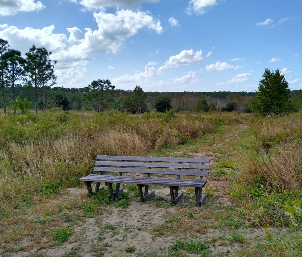
The park offers trails ranging from a half a mile to 5.5 miles where you can explore 11 different ecosystems. Dudes Loop at 0.5 miles and Compton’s Loop at 1 mile are the shortest trails. South Trail is 1.2 miles and Sandhill Loop is 1.5 miles. The mid-level trails are Big Creek Loop and Bear Lake Loop at 2 miles long, and South Loop at 2.5 miles. The more challenging trails are the Nature Trail at 3.5 miles and Bronson Loop at 5.5 miles. Be sure to get a map at the Ranger Station. The Rangers are very helpful and knowledgeable about the park.
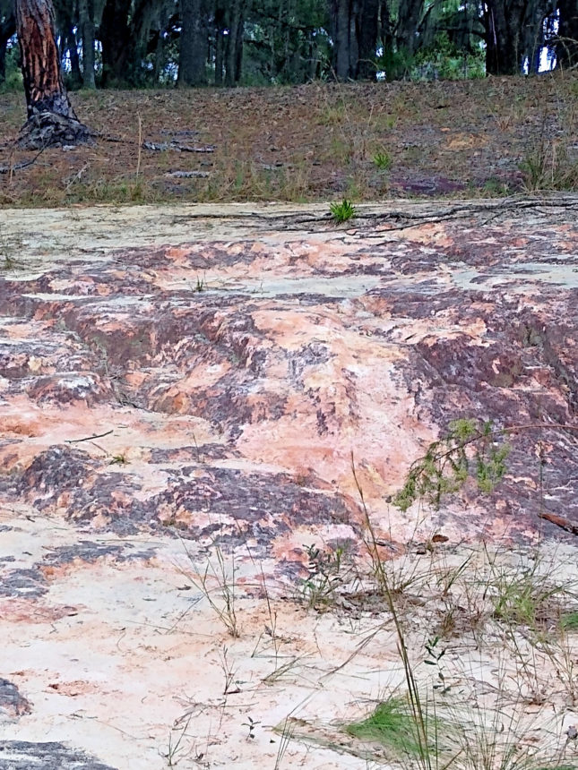
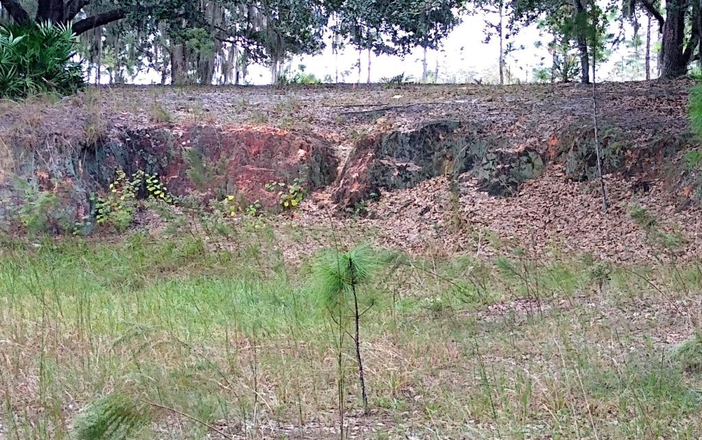
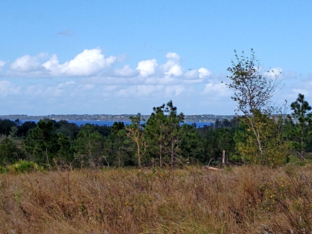
Compton’s Loop Trail has some geological formations of limestone and red clay swirling together to make very pretty colors in the rock. The rock has eroded over time, forming a tiny cliff. The trail leads you through the trees and sable palms up to a hill with tall pine trees and a view of the rolling hills. Make sure to check out the very scenic Lake Louisa Beach that has a long boardwalk with a swampy marsh underneath. Mangrove trees growing out of the water keep the boardwalk nicely shaded. The boardwalk leads you to a sandy swimming area with a playground and picnic table. Bear Lake is a great scenic spot that offers boating access for your handheld watercraft. Bear Lake Loop and Bronson Loop circle the lake and are wonderful trails to immerse yourself in nature and for wildlife viewing.
Look for bobcats, white-tailed deer, tortoises, fox squirrels, and rabbits. Near the lakes, you may see alligators, snakes, and otters. The ranger is happy to give guides to identify some of the snakes who are native to the area, as well as a guide for identifying tracks along the trails. There is so much to #explore and #discover at Lake Louisa State Park for any level adventurer!
For more information and trail map: https://www.floridastateparks.org/pa…/lake-louisa-state-park
Written by Briana Gunnell ~ Valencia student and IOF volunteer
Photo Credit: Briana Gunnell
Withlacoochee State Forest
Withlacoochee State Forest has been named one of the “10 Coolest Places You’ve Never Been in North America” by the World Wildlife Fund. Managed by the Florida Forest Service, the Withlacoochee State Forest is located on U.S. Highway 41 approximately seven miles north of the town of Brooksville and 50 miles north of Tampa and is a nature lovers paradise.
Hike, bike, or horseback ride on miles of trails, or simply drive through the forest. Paddle the winding Withlacoochee River, Little Withlacoochee River, and Jumper Creek, all of which have been recognized as Outstanding Florida Waters.
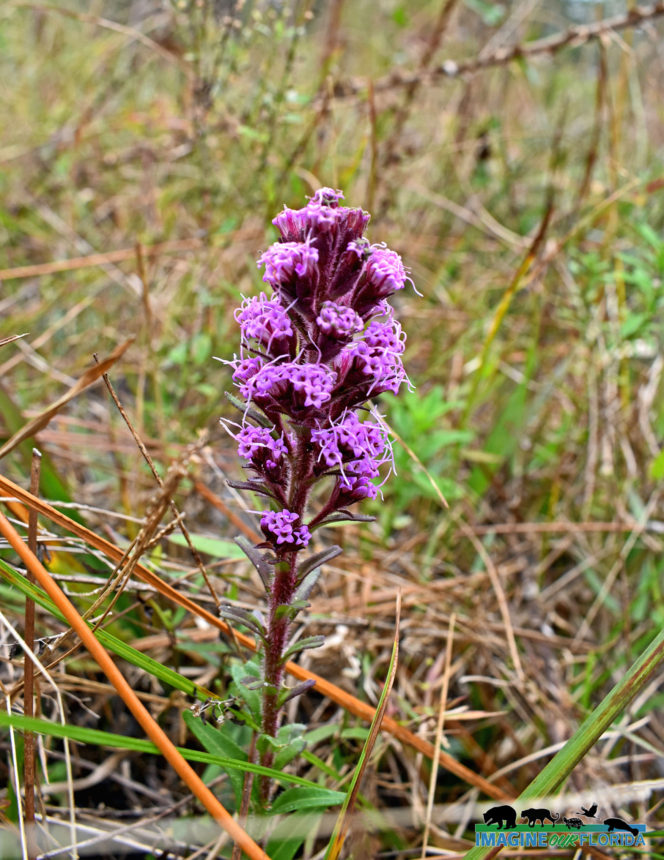
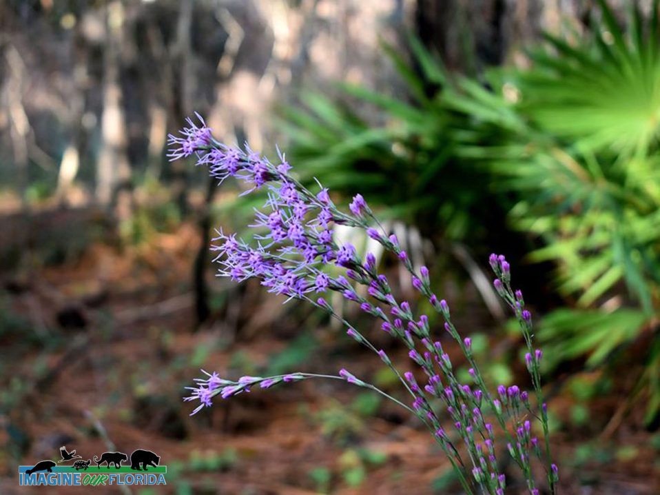
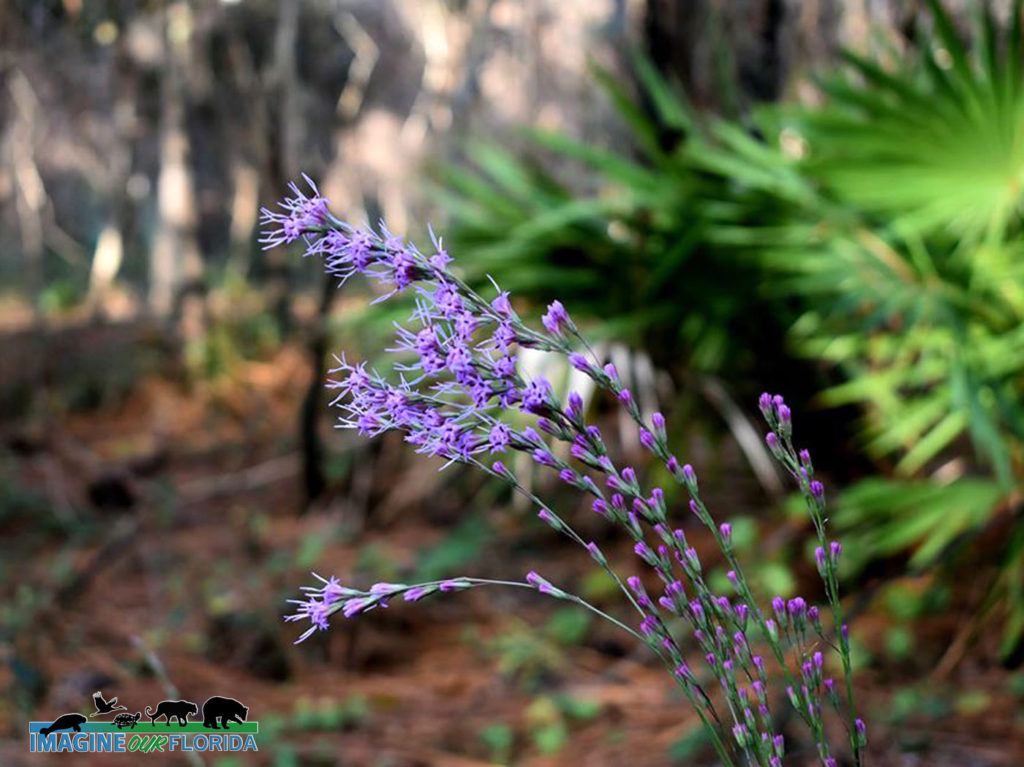
Notice the variety of trees at Withlacoochee State Forest. Discover southern magnolias, oaks, maples, gums, slash pine, longleaf pine, pond cypress, bald cypress, and hickory. Blooming blazing stars, goldenrod, thistle, and more will greet you along the way.
Withlacoochee State Forest is teeming with wildlife. The forest is part of The Great Florida Birding and Wildlife Trail and is designated a Florida Scenic Trail. Listen and look for fox squirrels, white-tailed deer, gopher tortoises, rabbits, gray squirrels, wild turkeys, sandhill cranes, hawks, bald eagles, and owls.
Croom Motorcycle Area provides 2,600 acres of off-road facilities for motorcycle and ATV enthusiasts.
For those who want to take their time and explore all of Withlacoochee State Forest campgrounds are available. There are several primitive campgrounds for those who want a more rustic experience. The Tillis Hill Day Use Area is a perfect place for larger gatherings. A pavilion, commercial-sized grill/smoker, and dining hall are available for cooking and feeding your guests. There are 3 pavilions and numerous picnic tables waiting for you to enjoy your picnic at McKethan Lake.
Leashed pets are allowed in some areas. Be sure to stop at the Withlacoochee State Forest Visitor Center for maps, current conditions, and more.
For more information: https://www.fdacs.gov/…/State-Fo…/Withlacoochee-State-Forest
Photo Credit: Aymee Laurain
Seminole State Forest
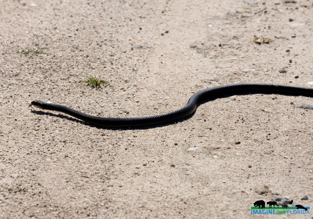
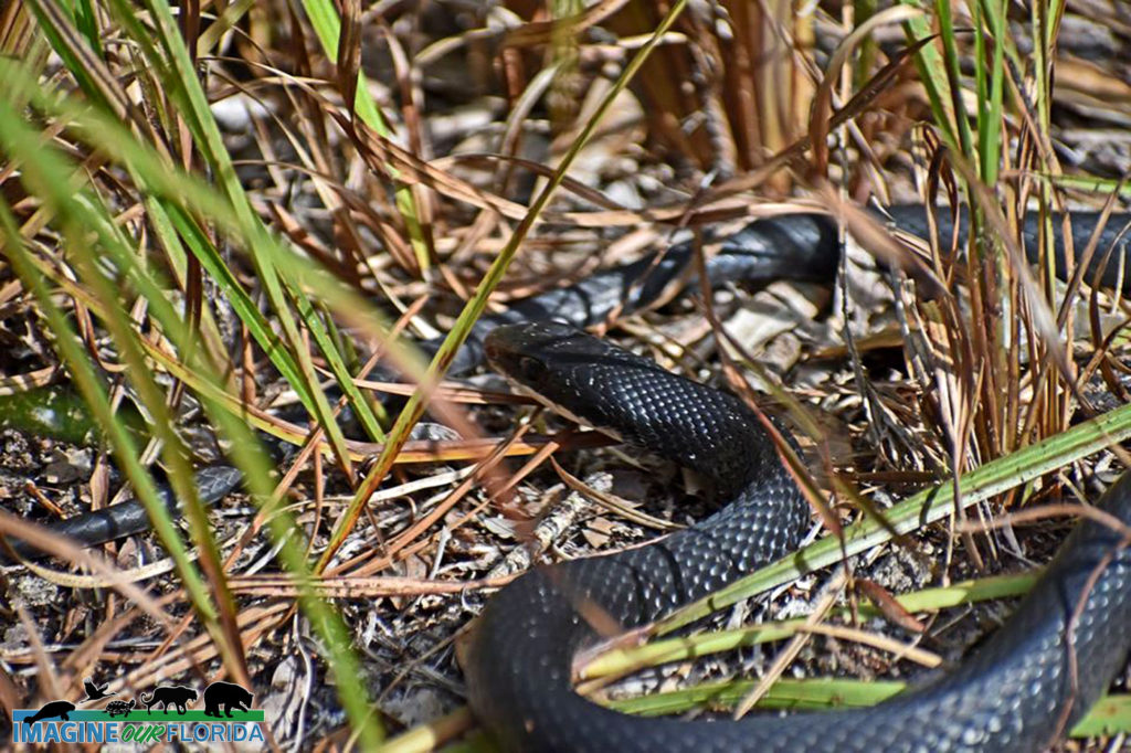
Seminole State Forest, located in Eustis in Lake County, boasts 18 different ecological communities, each with its own unique animals and plants, 15 springs, the Black Water Creek, and the Wekiva River. Sand pine scrub measuring 4300 acres provides a home for Scrub-Jays, Eastern Indigo Snakes, Hooded Pitcher Plants, and the iconic Florida Black Bear.
Acquired under the Conservation and Recreation Land, Save Our Rivers, Preservation 2000, and Florida Forever programs, Seminole State Forest is managed by the Florida Forest Service.
A hiker’s paradise awaits you at Seminole State Forest. There are more than 34 miles of hiking trails maintained by the Florida Trail Association. The National Scenic Trail crosses thru a 16-mile expanse of the Seminole State Forest and runs from Rt. 46 to the Ocala Forest. The North Sulphur Island Loop Trail is 8.5 miles and the Lower Wekiva Loop Trail is 10.4 miles.
There are 25 miles of equestrian trails and 25 miles of open roads and trails for bicyclists. Explore Black Water Creek in your canoe or kayak. Drive-in access for automobiles requires a permit.
Camp at one of the 5 primitive campsites, cook your dinner on the fire ring, and eat at the provided picnic table. Three additional walk-up campsites are located on the Florida National Scenic Trail.
Pets are welcome when on a leash.
Seminole State Forest is located in the Wekiva River basin and has 2 entrances. The Bear Pond Trailhead is located off of State Road 46, approximately 5 miles west of Interstate 4. Cassia Trailhead is located off of Brantley Branch Road, 0.1 miles east of State Road 44 in Cassia.
For more information: Seminole State Forest / State Forests / Our Forests / Florida Forest Service / Divisions & Offices / Home – Florida Department of Agriculture & Consumer Services
For more information: https://www.fdacs.gov/…/Our-Forests/S…/Seminole-State-Forest
Photo Credit: Andy Waldo
Everglades National Park
Hillsborough River State Park
Hillsborough River State Park
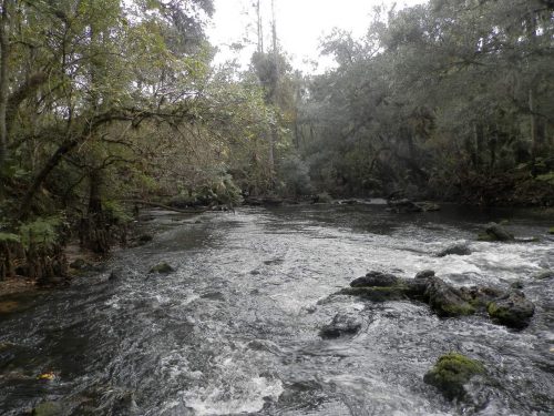
Nature and history abound at Hillsborough River State Park located just outside of Tampa. Explore one of the 7.3 miles of trails, learn about the Seminole Indian Wars at Fort Foster, and find peace along the waters of the Hillsborough River.
Fort Foster was originally built in 1836 to defend the bridge which crossed the Hillsborough River on Fort King Military road. It served as a place to resupply soldiers during the Second Seminole War. In 1936, Civilian Conservation Corps realized the historic significance of Fort Foster and the allure of the Class II rapids located nearby.
The Corps opened Hillsborough River State Park to the public in 1938. Today, visitors are invited to explore within the reconstructed walls of Fort Foster complete with blockhouse stairs and cannons. Plan your trip in January to see reenactments at the Fort Foster Rendezvous or in December at the Candlelight Experience.
Hillsborough River State Park is designated a Great Florida Birding and Wildlife Trail. There are 4 trails within the park that wind through pine flatwoods, a floodplain swamp, a hardwood and hydric hammock, and a cypress swamp.
Hike or bike along the 1.6-mile Wetlands Trail through cypress domes and Flatwoods where you may encounter bobcats, hawks, and a variety of rare plants. Saunter down the Rapids Trail to the swift, flowing Class II rapids on the Hillsborough River.
Paddle a kayak or canoe down the Hillsborough River or for the more adventurous, down the rapids. Cool off in the ADA accessible swimming pool.
Primitive campsites and 112 campsites for tents or RVs are located in the park. Playgrounds and picnic areas are waiting for you to enjoy. Pavilions are available to rent for reunions and other special events. A poolside cafe, camp store, and bike and canoe rental are located in the park for your convenience. Pets are welcome and must be on a 6′ leash.
For more information click here: https://www.floridastateparks.org/…/hillsborough-river-stat…
Photo Credit: Aymee Laurain
John C & Mariana Jones Hungryland Wildlife and Environmental Area
John C. and Mariana Jones Hungryland Wildlife and Environmental Area
Walk where Native Americans once walked with Mastodons and Bison. Hike where Seminoles escaped to hide from the U.S. Army in the 1800s. The Army cut off food supplies to the Seminoles and the area became known as Hungryland. The Hungryland Slough once was used for grazing cattle.
Have your elders ever talked about a real estate scheme that had people buying swampland in Florida? Pal Mar, a part of Hungryland Wildlife Environmental Area (WEA), was divided into several thousand lots by developers. While attempting to drain the area via newly dug canals, the lots were sold to unsuspecting out-of-state buyers. However, the developers failed to obtain the proper permits and Martin County stopped the construction of drainage canals.
Considered to be conservation land by the citizens of Palm Beach and Martin Counties, the land was purchased through the Save Our Rivers program in 1994 and 1997 and through the Conservation and Recreation Lands Program in 1999. Johnny and Marianna Jones advocated for the protection of Florida’s fish and wildlife throughout their 61-year marriage. They were passionate about preserving Hungryland WEA and their name was added to honor their efforts.
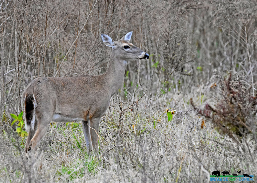
Today, Hungryland WEA is managed by FWC and offers plenty of opportunities to get outside. Hike, bike, or horseback ride along one of the trails. A 6.5-mile and a 2-mile trail are best explored in the dryer months of March-May. There is a 1.5-mile trail on the north end and a 4-mile trail around a citrus grove. As part of the Great Florida Birding and Wildlife Trail, be prepared to observe snail kites, bald eagles, wood storks, limpkins, egrets, and herons. Watch for bobcats, coyotes, turkeys, deer, hogs, alligators, otters, turtles, and snakes.
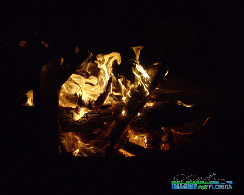
Primitive camping is permitted year-round. In February, the IOF Board of Directors held its annual meeting at Hungryland WEA. Some of the board members camped and the rest made the drive on the day of the meeting. The area is vast and gave us plenty of opportunities to capture the beauty of the land with our cameras. Aymee made a delicious pot of campfire chili. It was a perfect dinner to celebrate IOF’s past accomplishments and to kick off our goals for 2020.
For more information: https://myfwc.com/recreation/lead/jones-hungryland/
Photo Credit: IOF Board of Directors
Kissimmee Prairie Preserve State Park
Kissimmee Prairie Preserve State Park
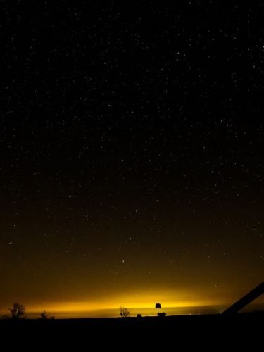
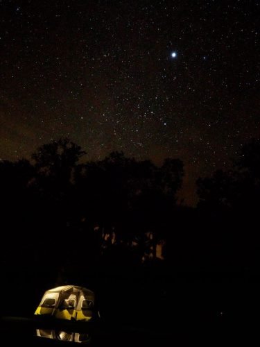
“This park is like nothing else in Florida. Being able to see the stars at night in unbelievable detail was absolutely worth the trip.” Jonathan Holmes, IOF Contributor
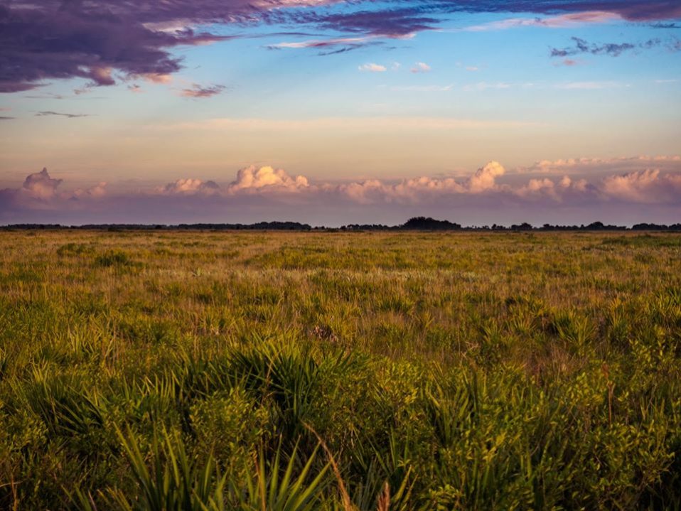
There is a place in Florida that is world-renowned for stargazing. Designated as a Dark Sky Park due to the absence of light pollution, the stars and planets can be enjoyed the way nature intended.
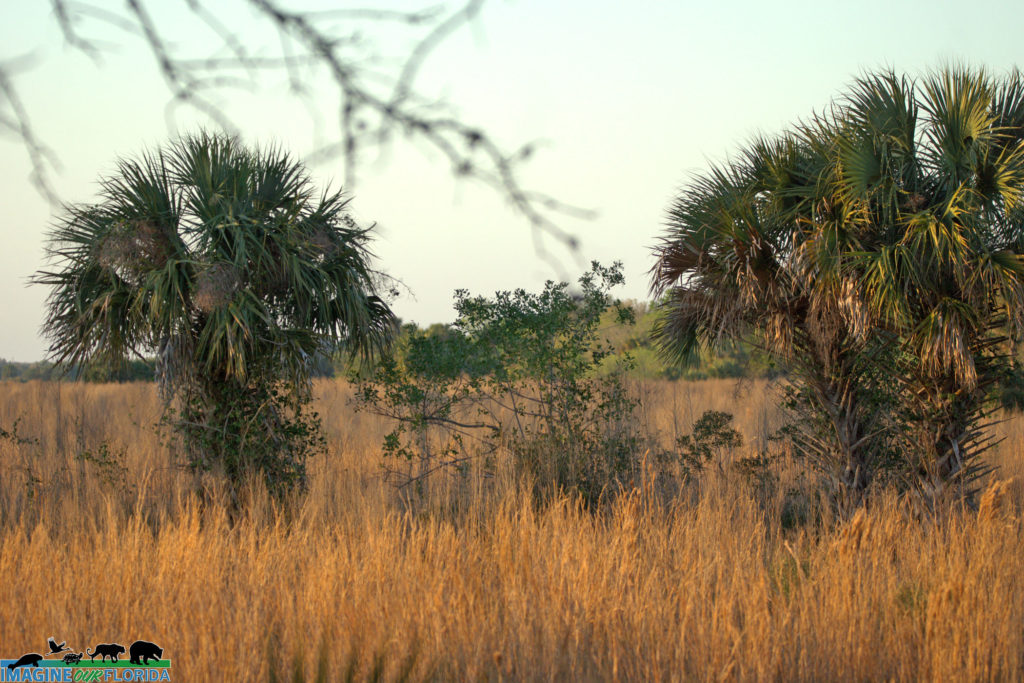
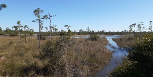
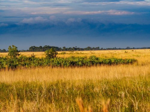
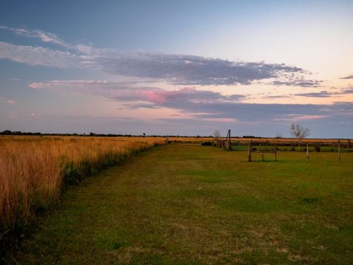
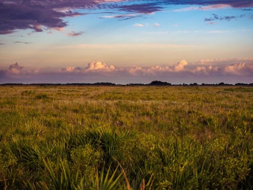
Located in Okeechobee, Kissimmee Prairie Preserve State Park is part of the headwaters to the Everglades and is the largest remaining dry prairie ecosystem in Florida. Once spanning coast to coast and from Lake Okeechobee to Kissimmee, the prairie has been reduced to a mere 10% of its original expanse.
Throughout the years, humans have altered the prairie to suit their needs. The State Park is working to restore the land to pre-European influence. Over 70 miles of ditches and canals have been restored to swales and sloughs. Old plow lines are slated for reconditioning, and a cattle pasture will be restored to native shrubs and grasses. As a fire and flood dependent ecosystem, these efforts will allow the prairie to thrive once again.
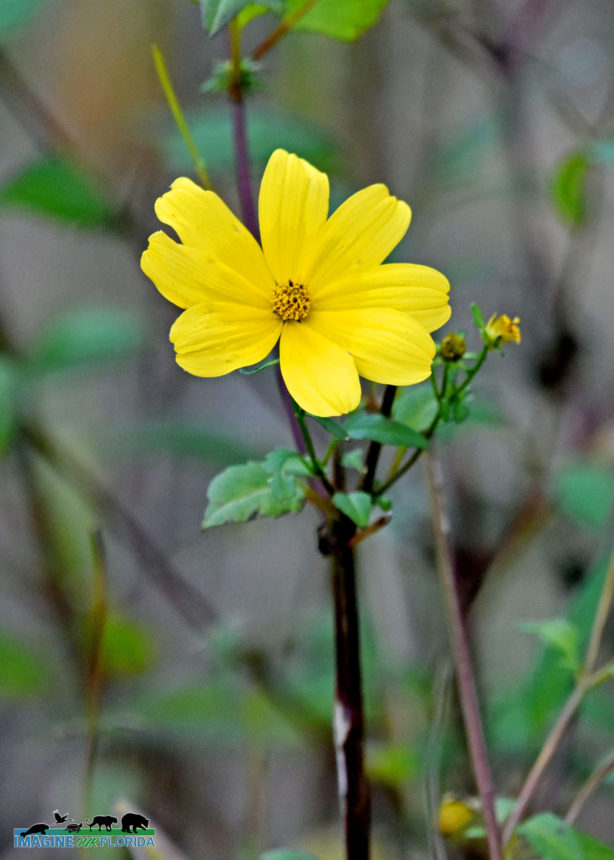
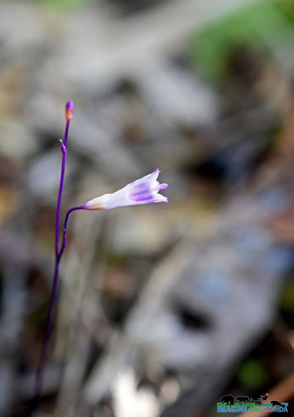
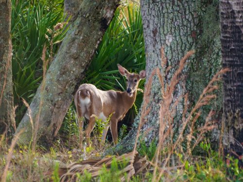
The most famous resident of the prairie is the Florida Grasshopper Sparrow. Critically endangered, the sparrows rely on a healthy prairie ecosystem for survival. Crested Caracaras, Burrowing Owls, Wood Storks, Swallow-Tail Kites, and White-Tail Kites find refuge at the park. Watch for Bald Eagles, White-tailed Deer, and Indigo Snakes. Native wildflowers are abundant. Look for Blazing Stars, Yellow Bachelors Buttons, Meadow Beauty, Pipewort, and Alligator Lilies.
There is plenty to do at Kissimmee Prairie Preserve. Hiking, horseback riding, and biking are wonderful ways to experience Nature up close. Camping, primitive camping, and equestrian camping are offered for those who want to spend the night. A ranger-led prairie buggy tour and an astronomy pad are spectacular ways to enjoy the park.
For reservations, times, fees, and more click here:
https://www.floridastateparks.org/…/kissimmee-prairie-prese…
Photo Credit – Jonathan Holmes

 m
m
 a
a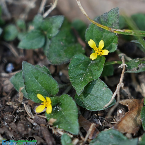


Recent Comments