

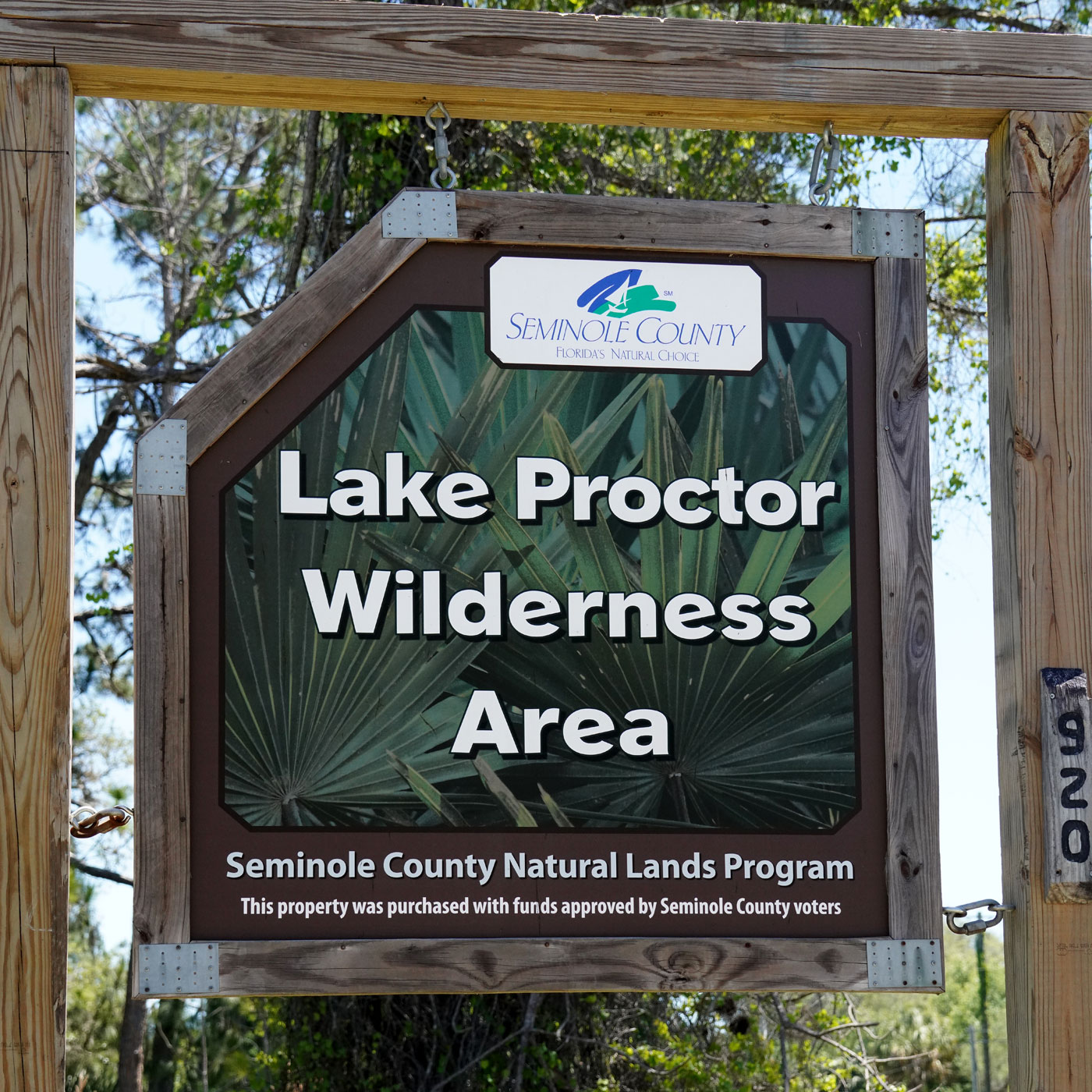
Lake Lizzie Conservation Area
Located in St. Cloud, Osceola County, Florida
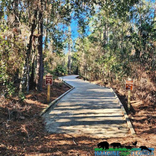
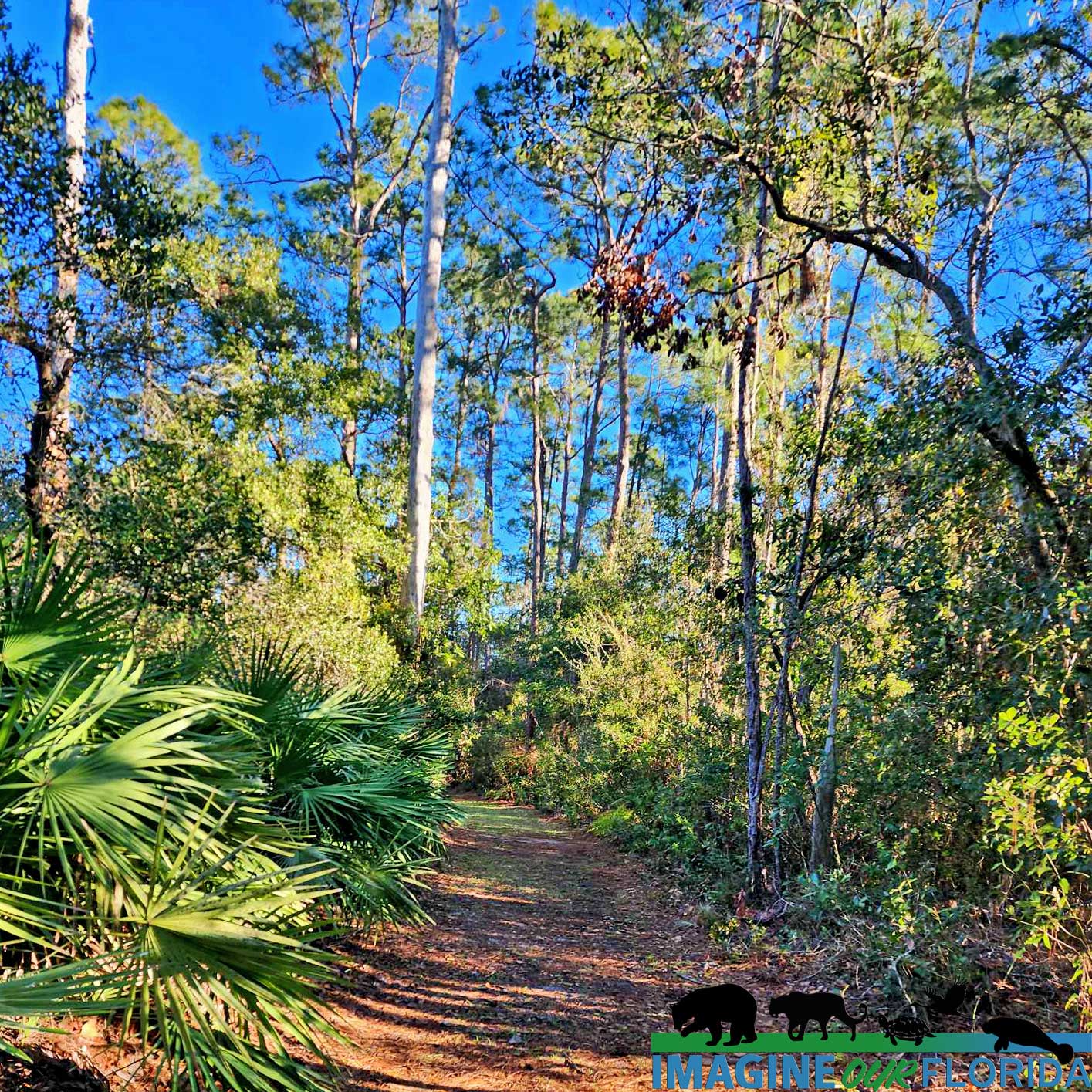
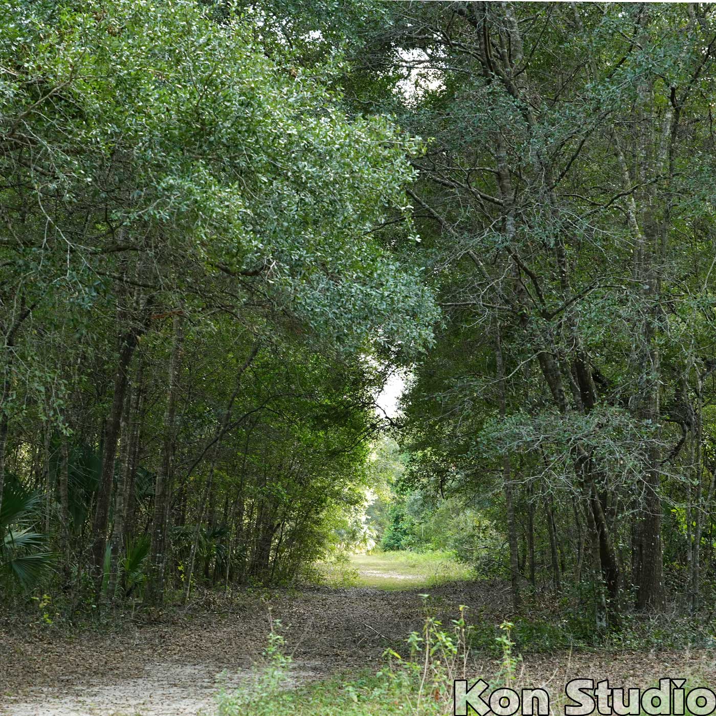
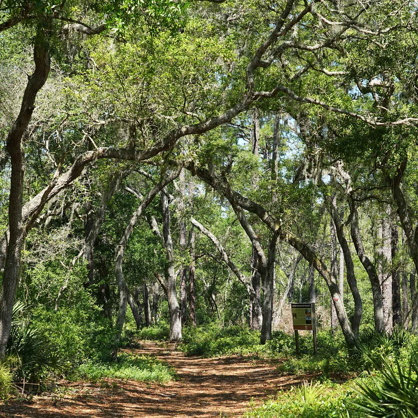
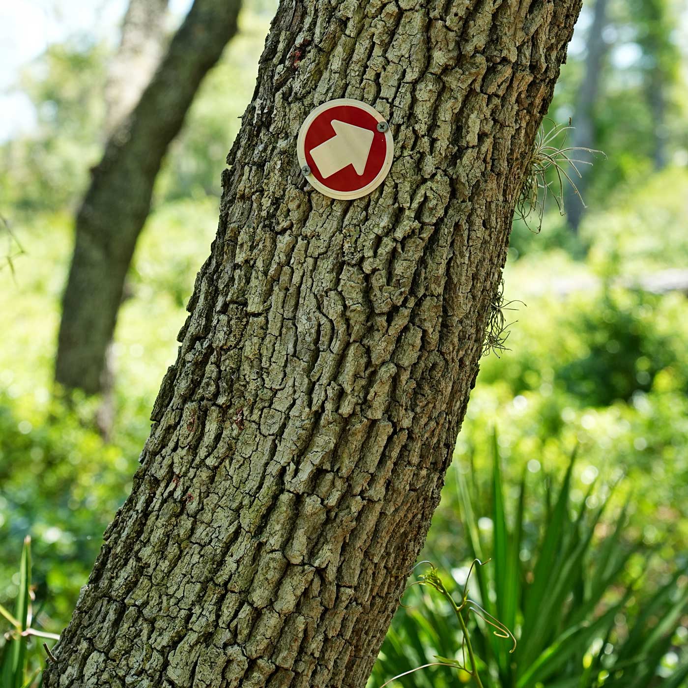
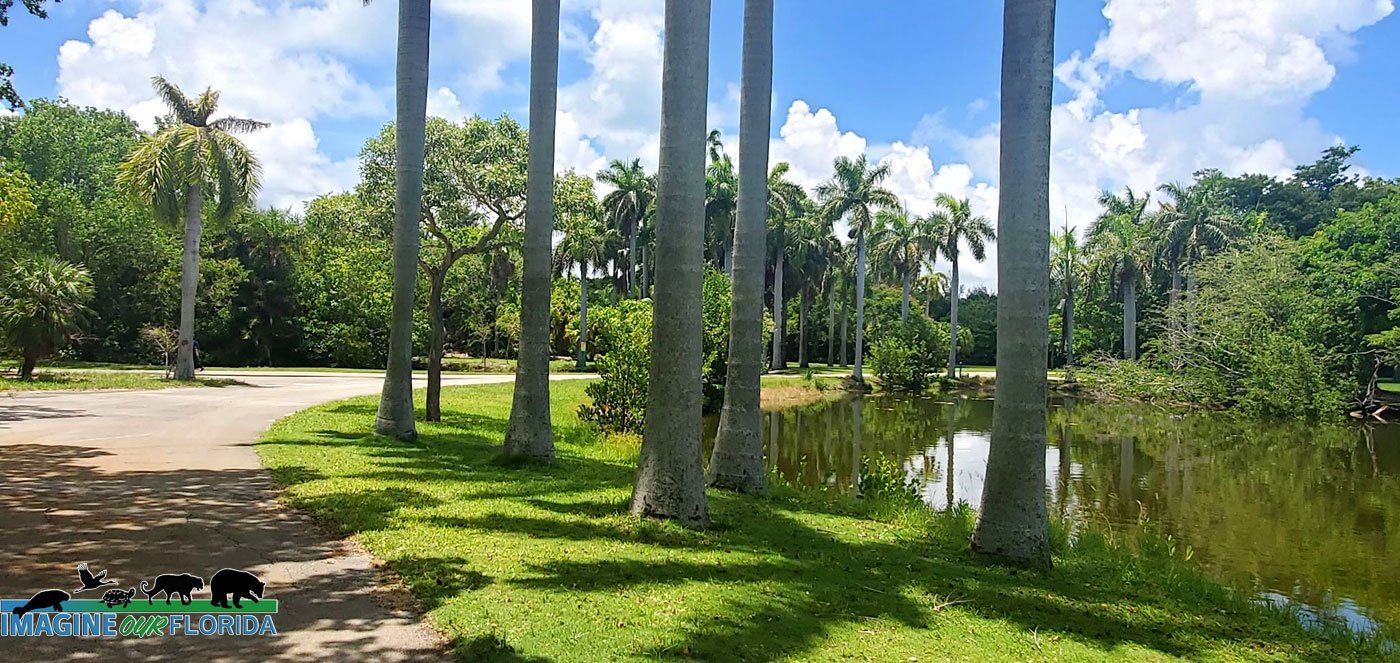
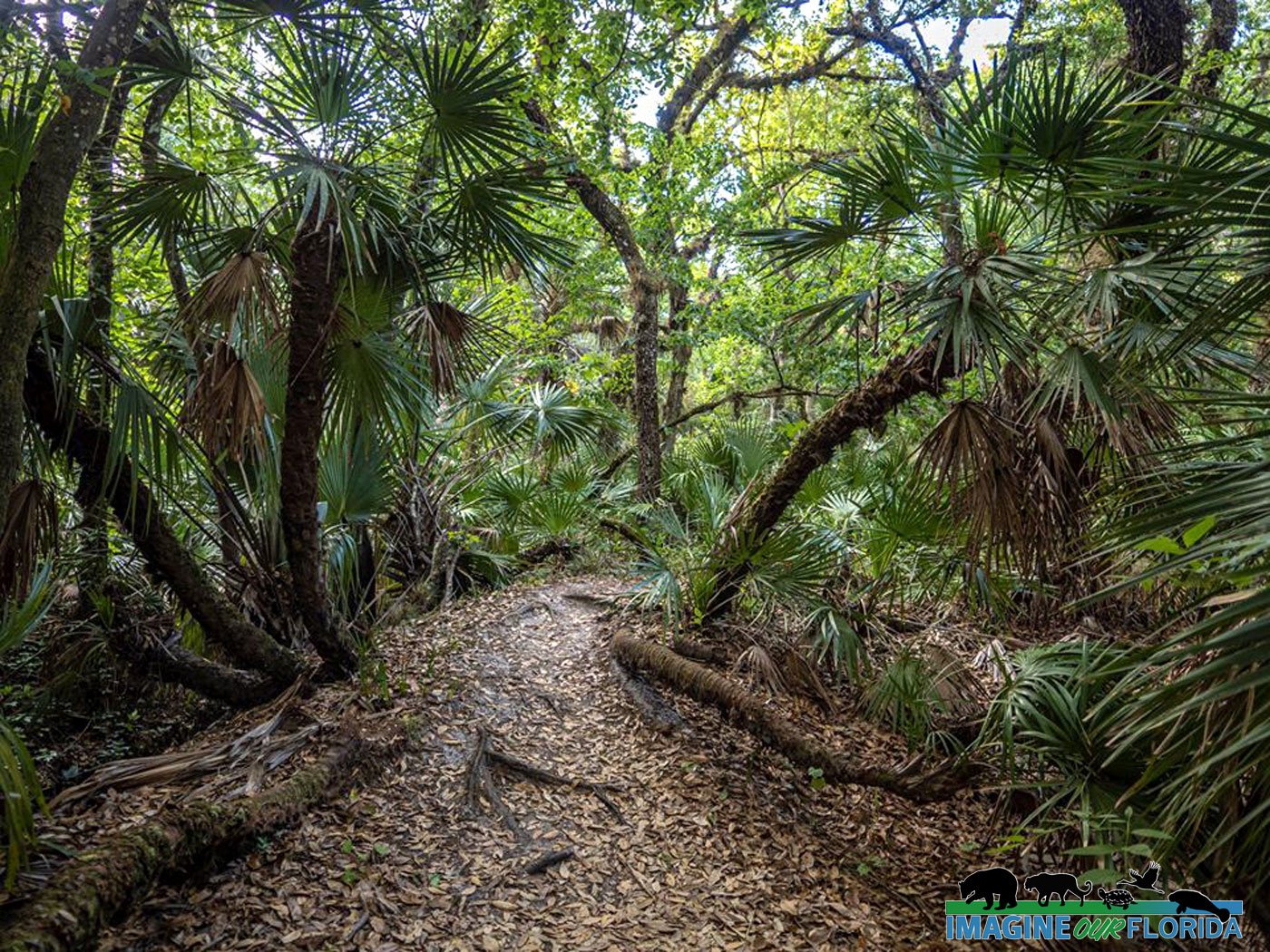
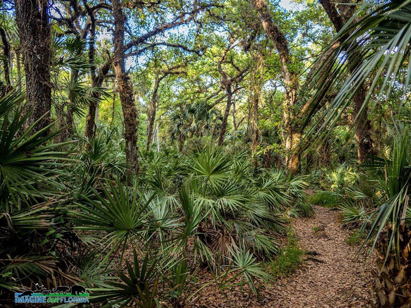
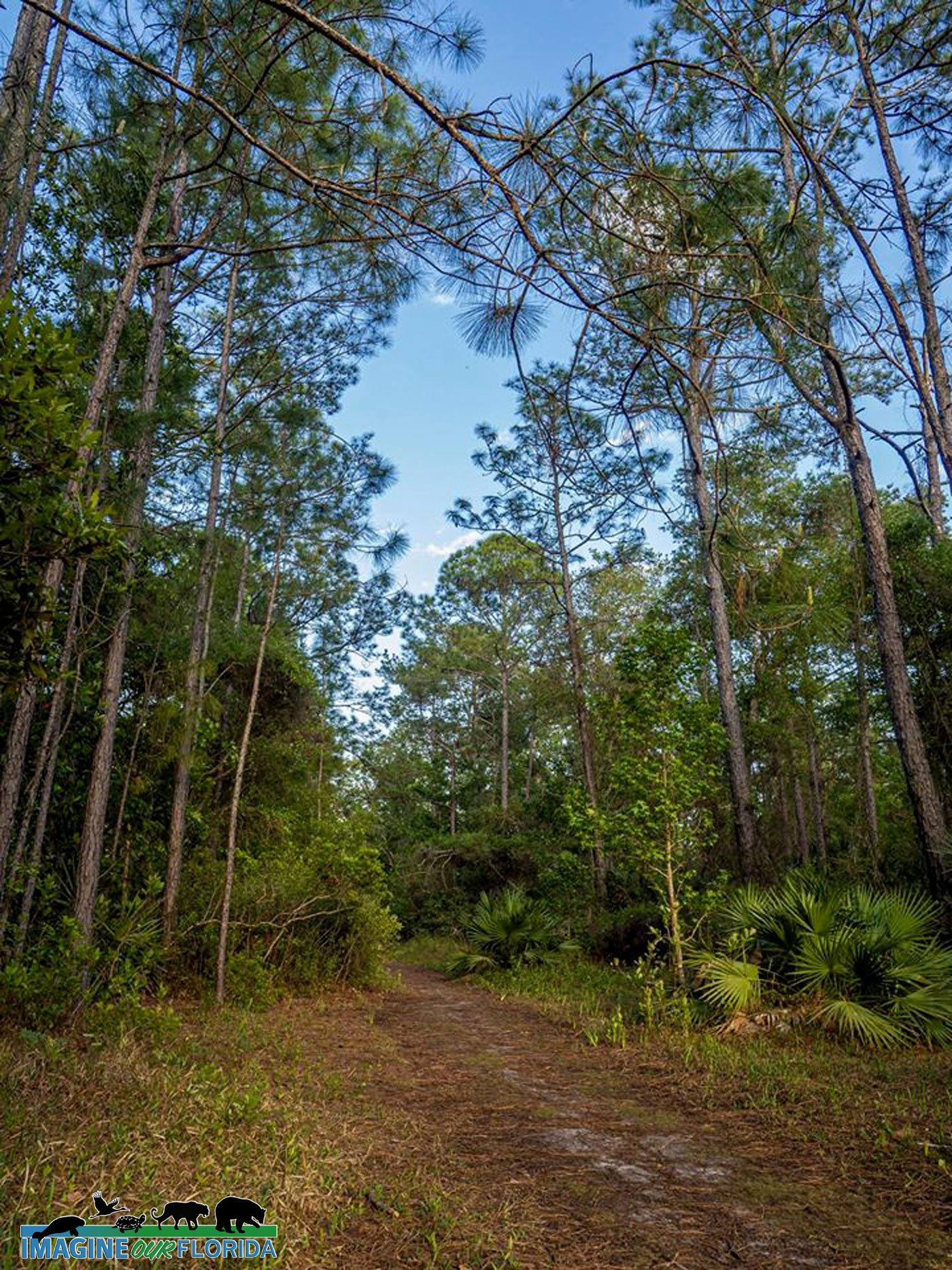
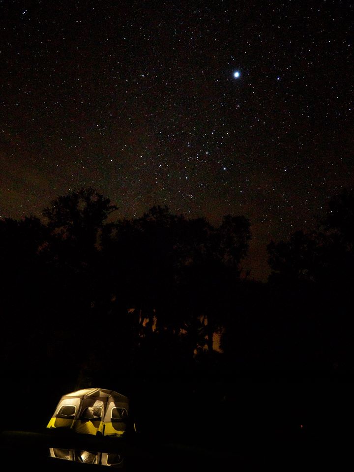
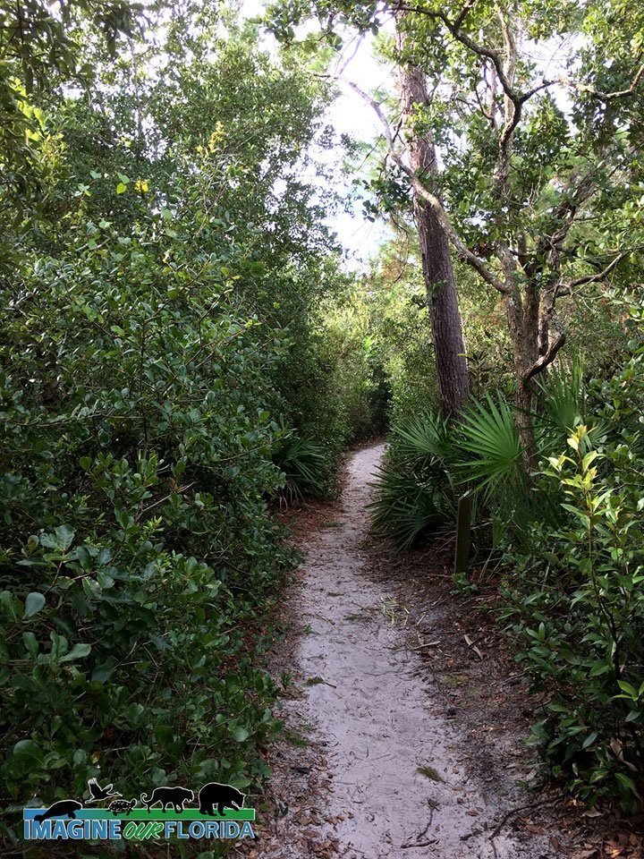
With its 1,076 acres of habitat, 11 miles of hiking trails, 9 miles of equestrian trails, and two primitive campsites, the Lake Lizzie Conservation Area is a quiet oasis for those looking for a quick getaway in the St. Cloud, Osceola area of central Florida.
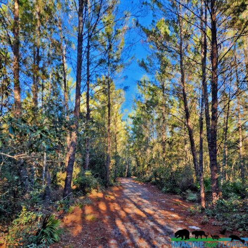
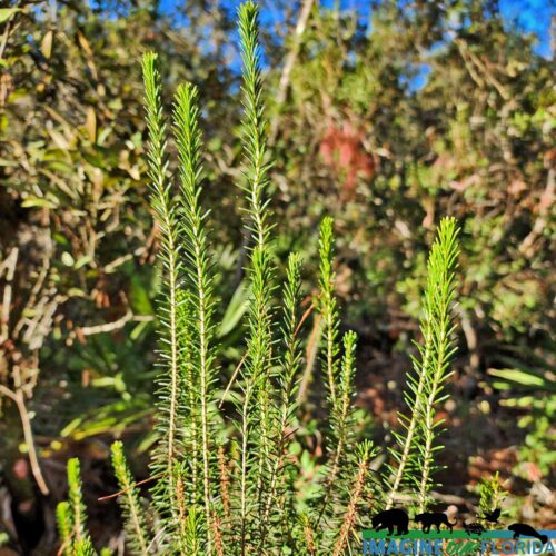
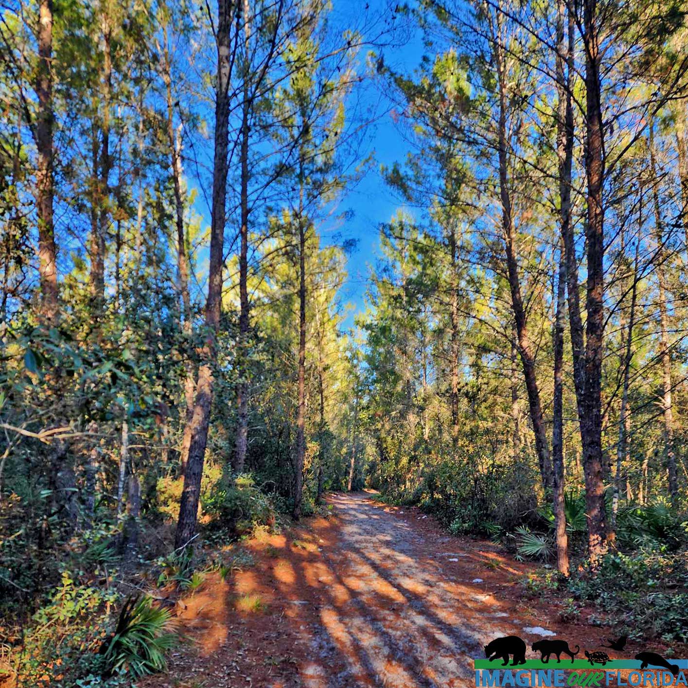
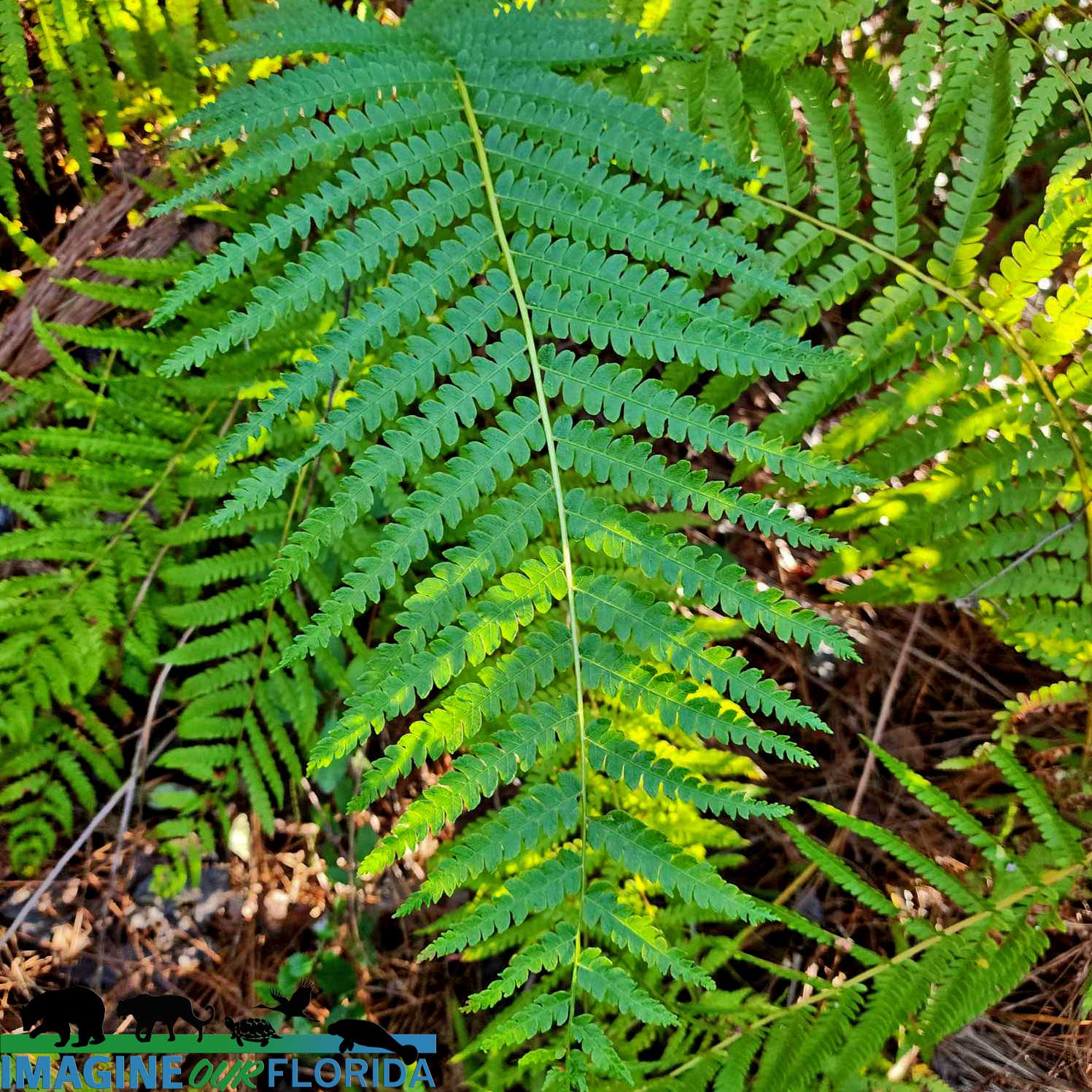
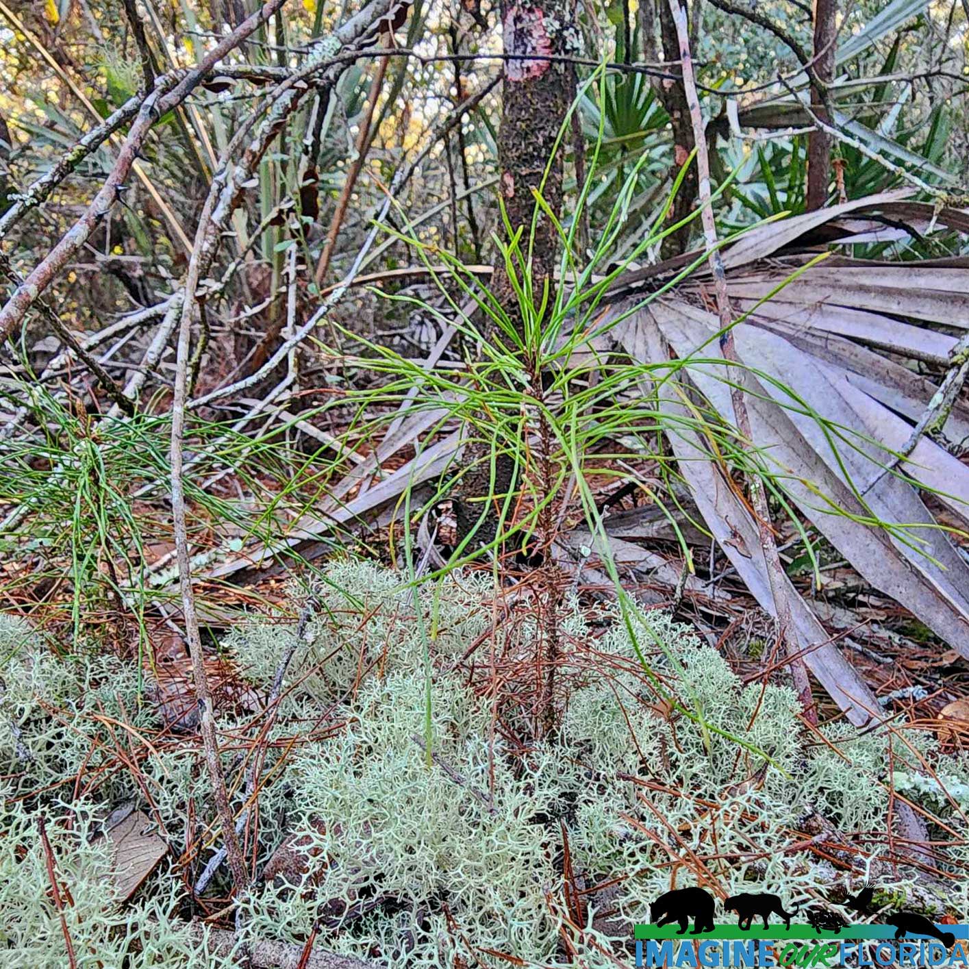
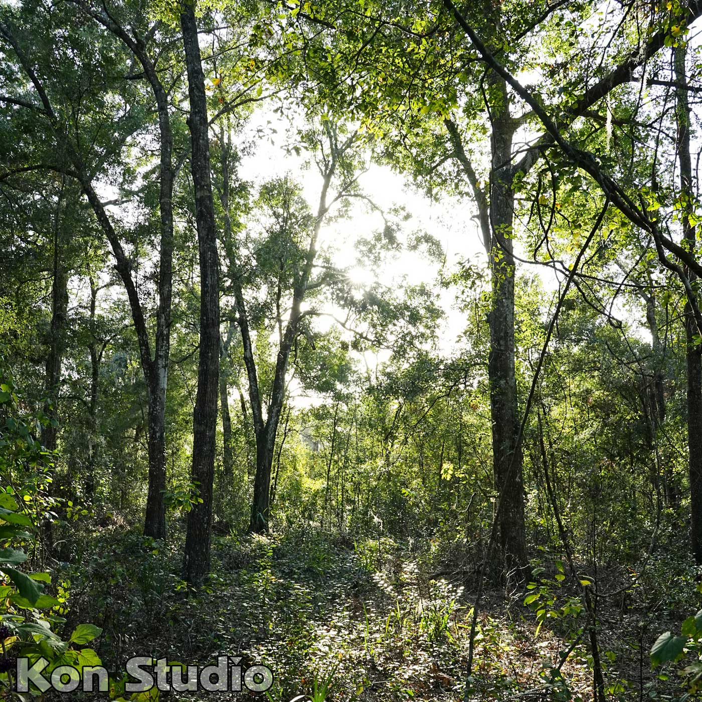
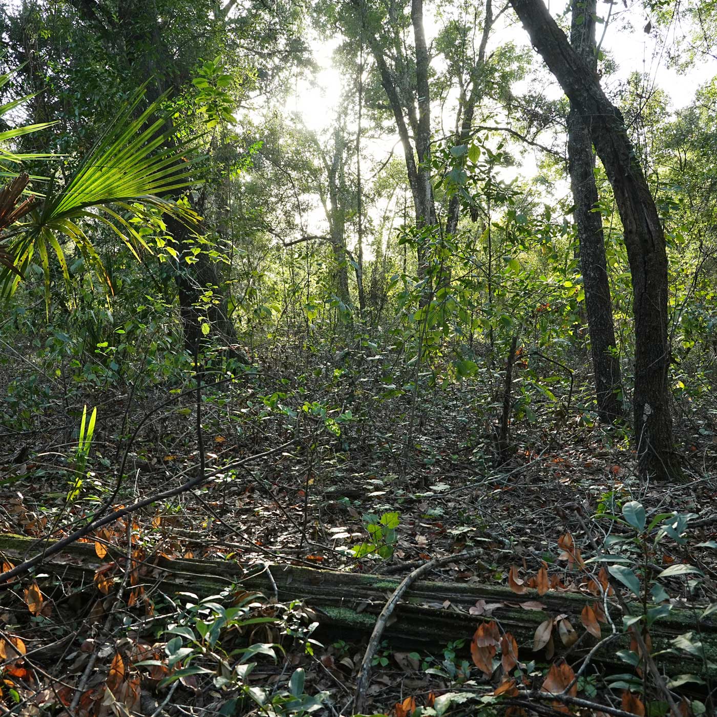
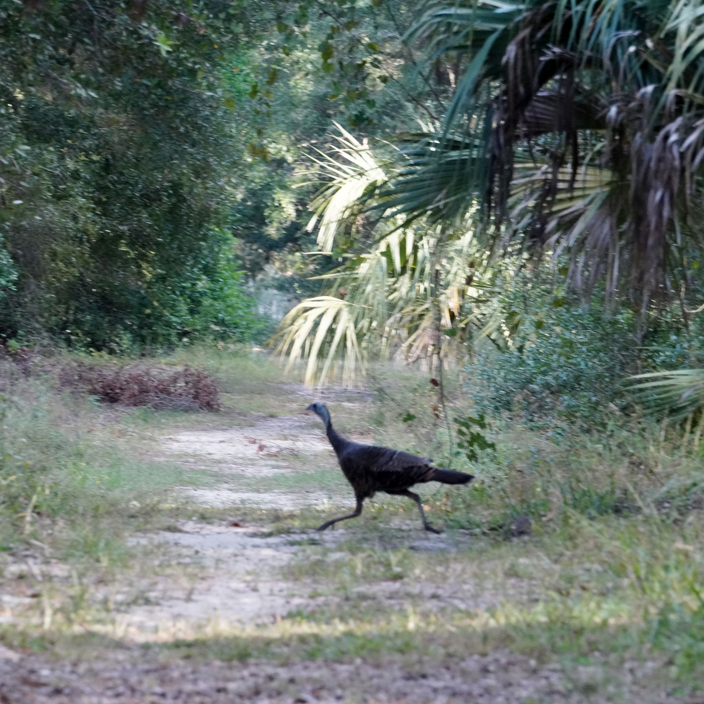
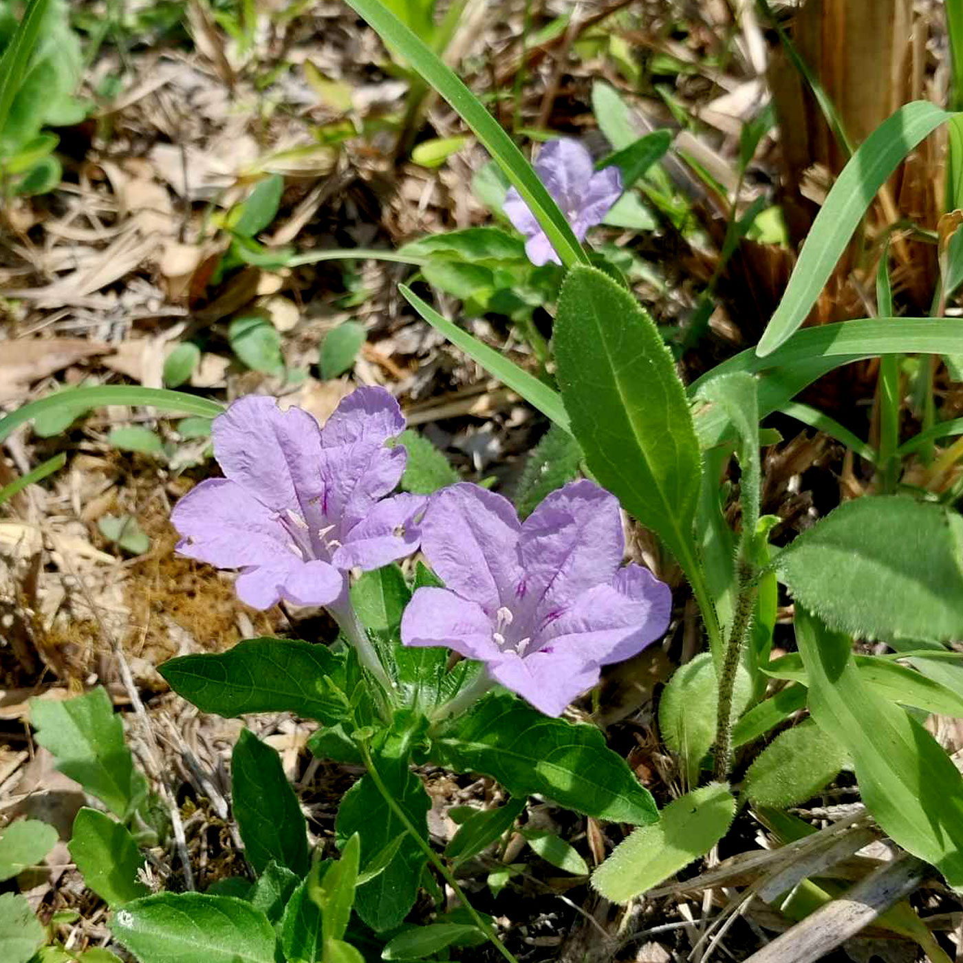
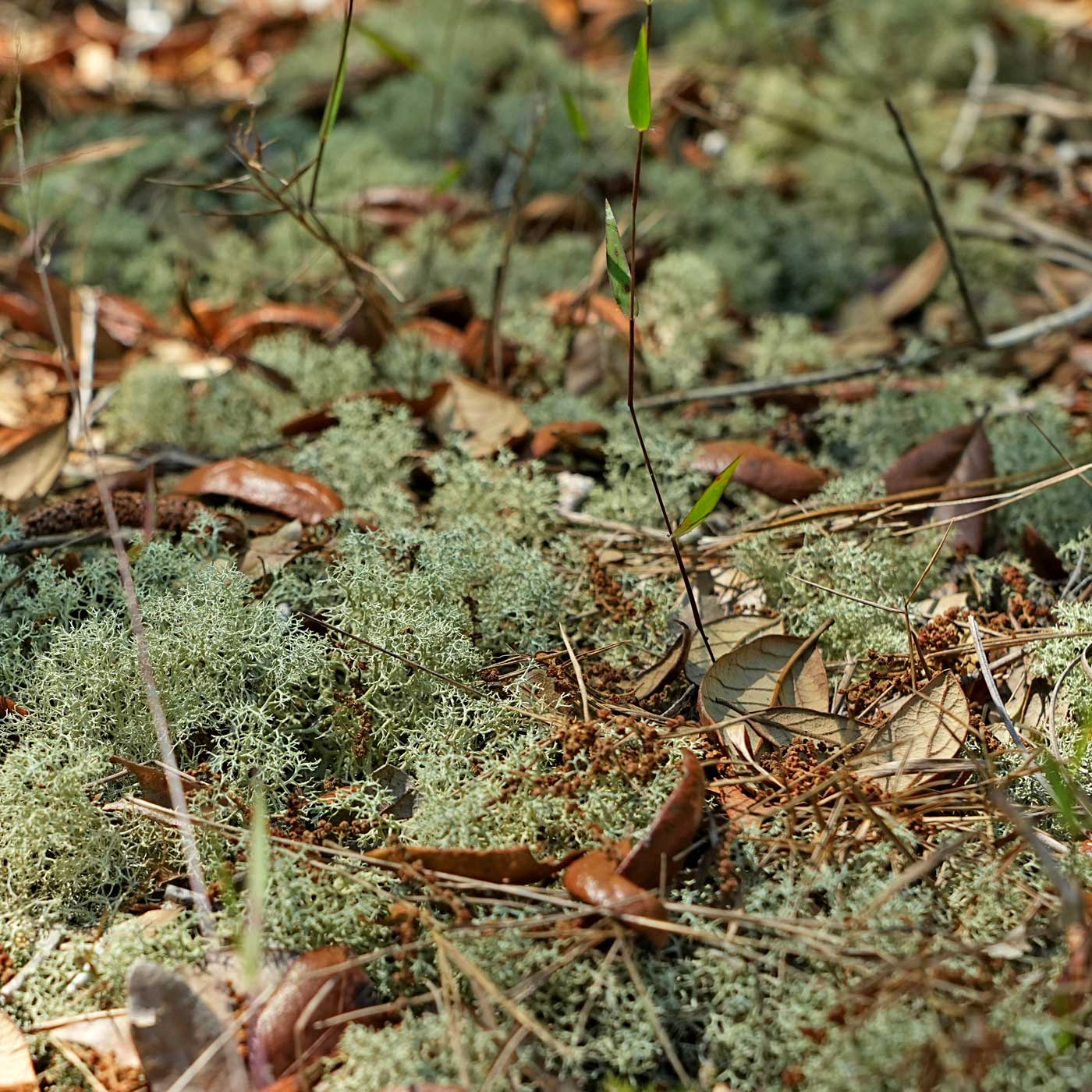
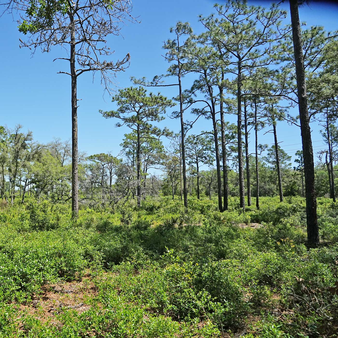
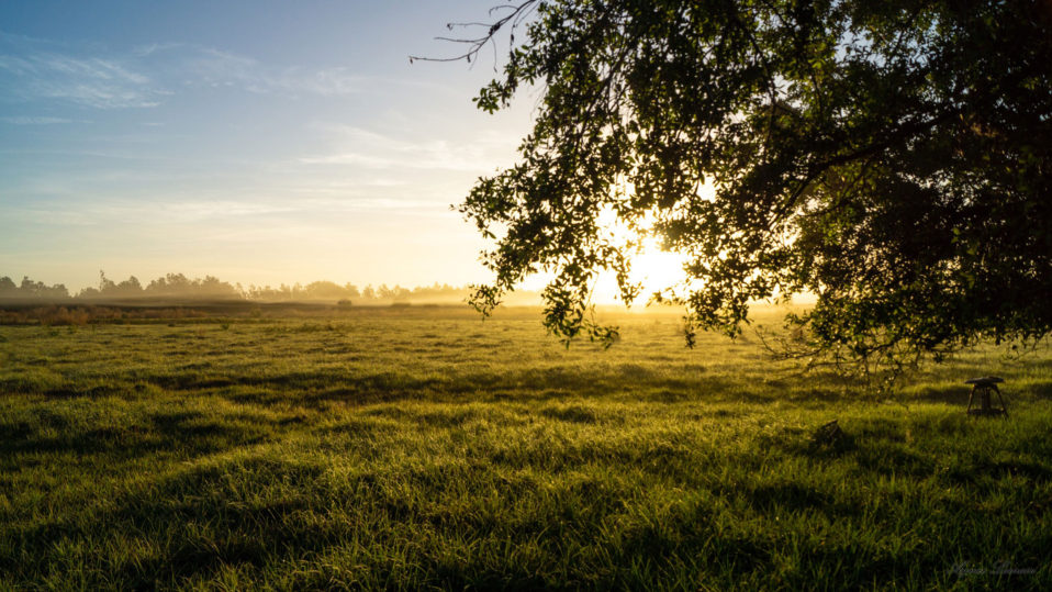
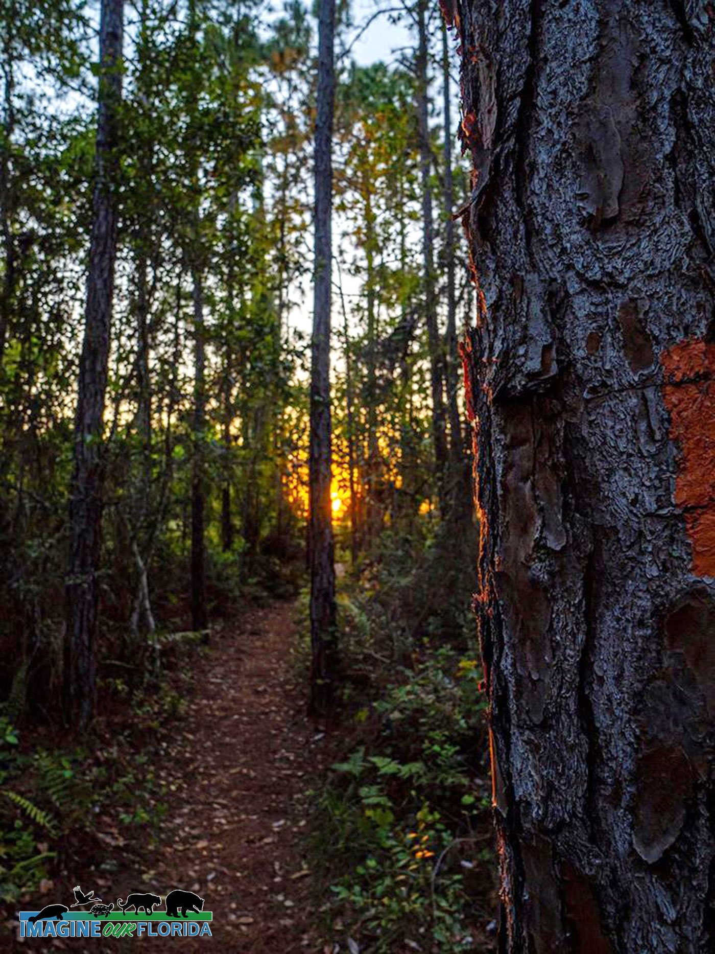
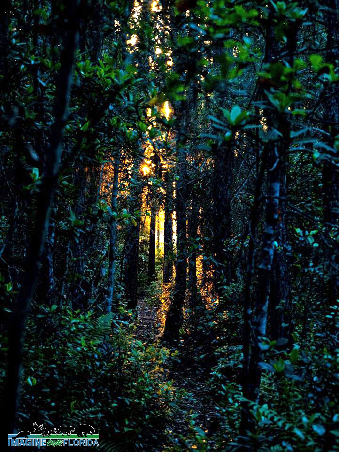
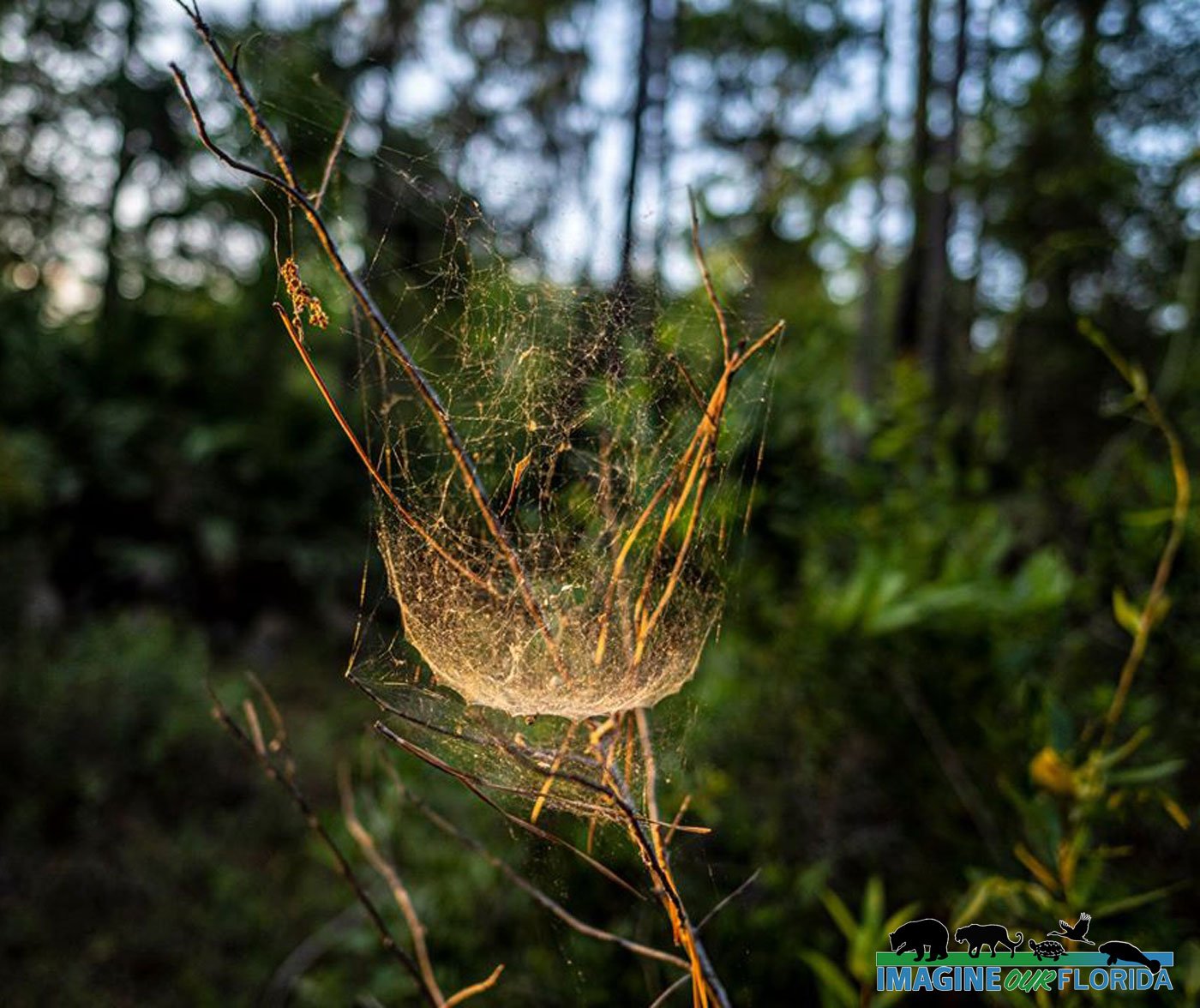
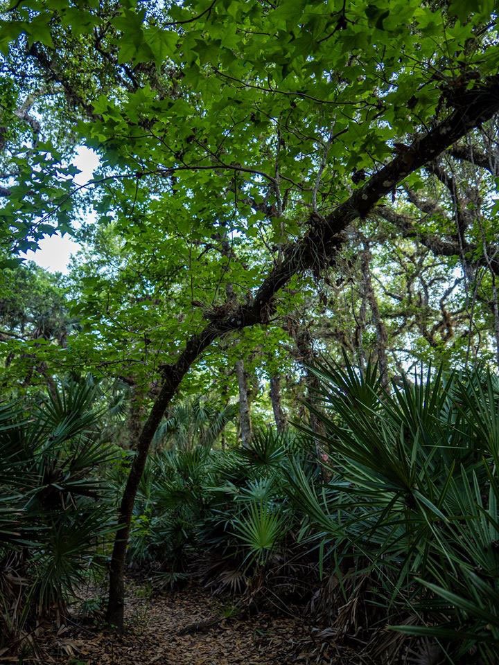
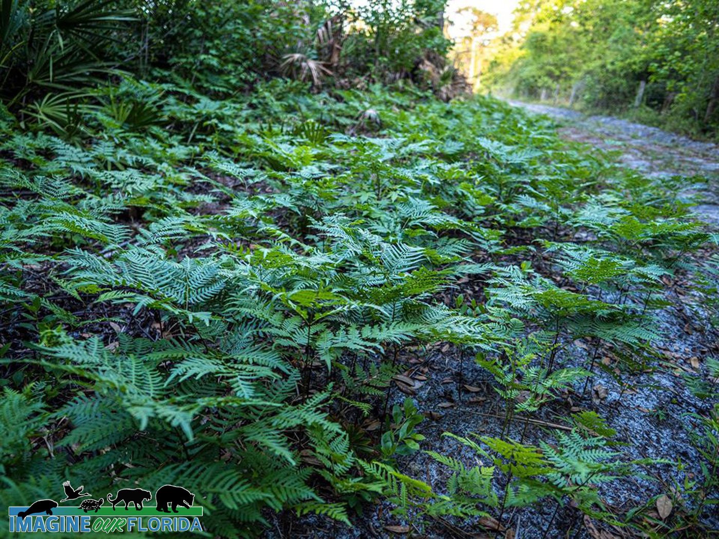
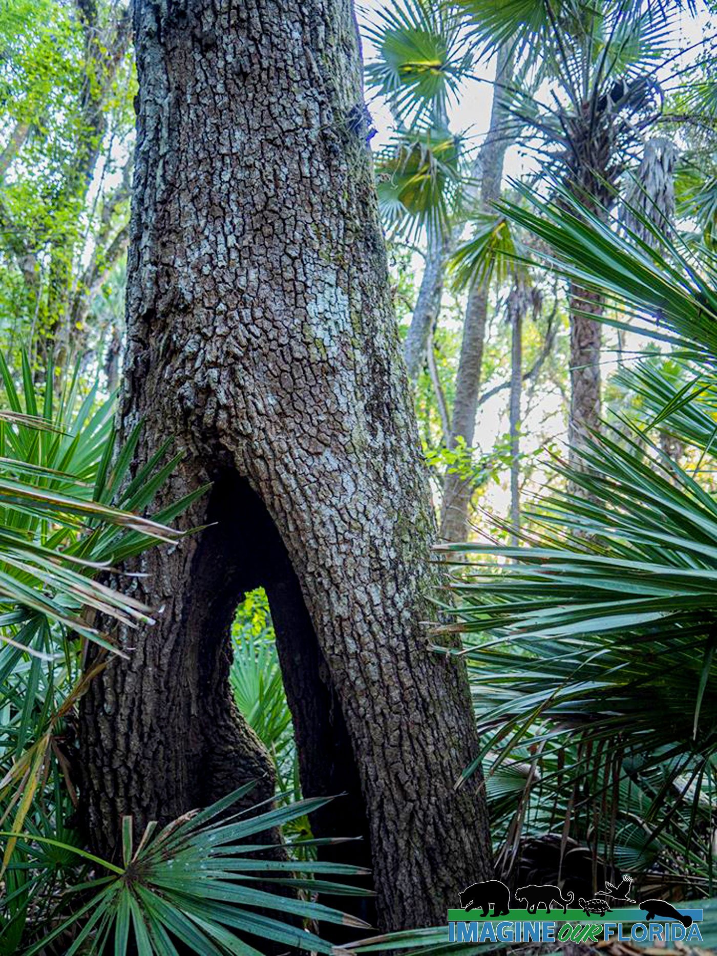
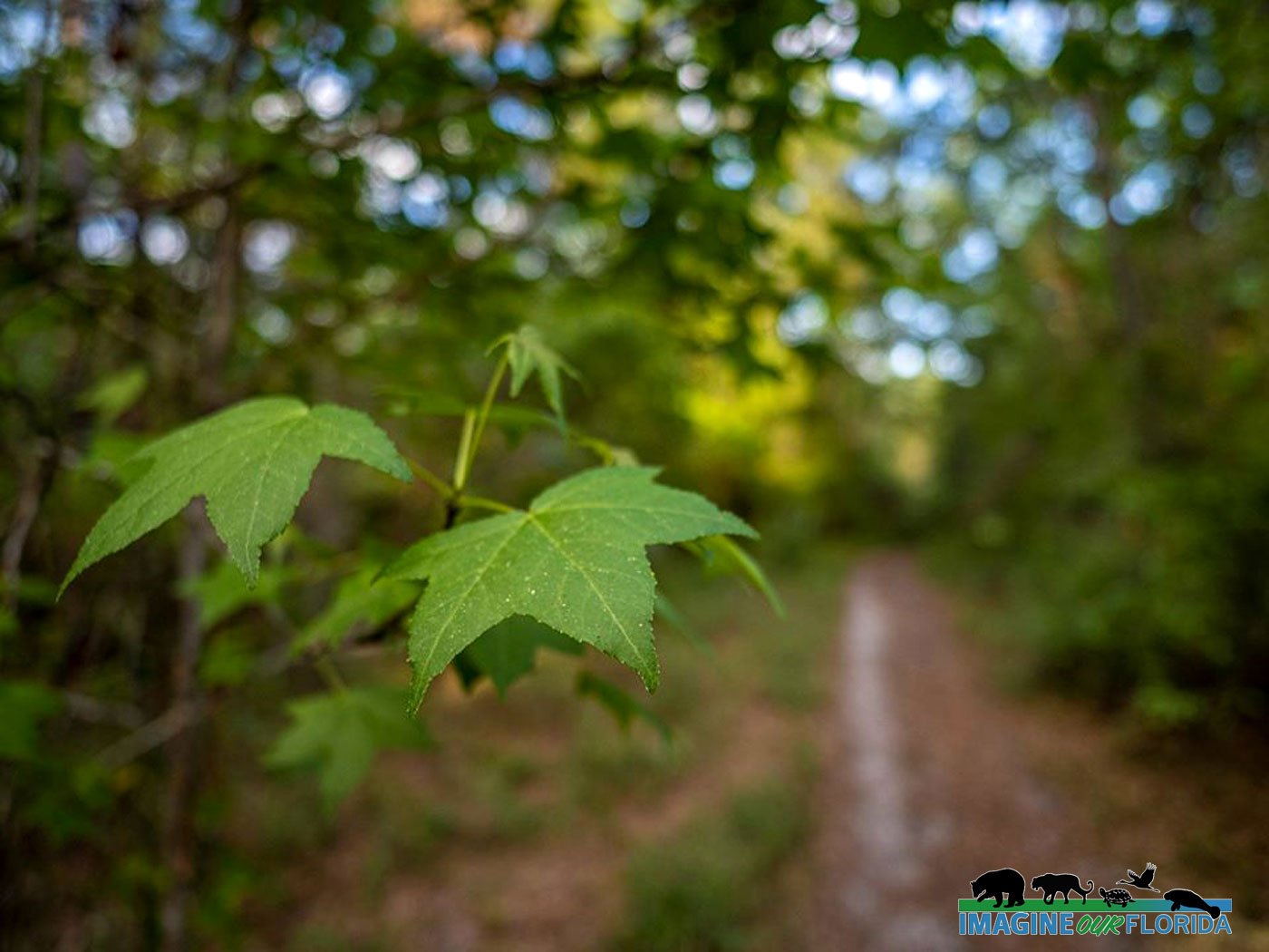
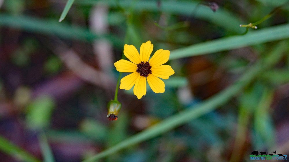
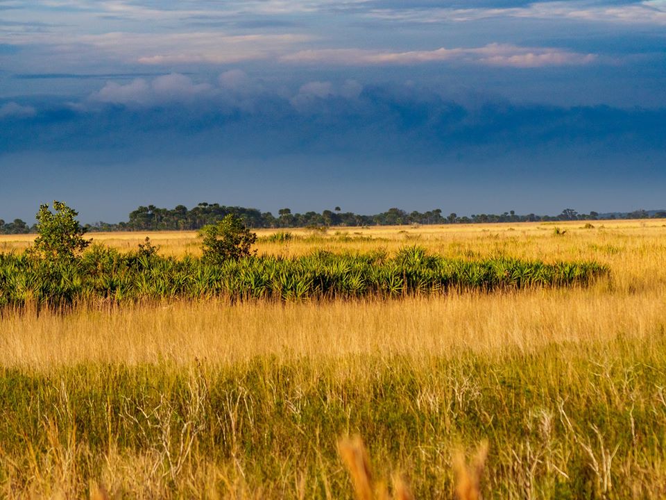
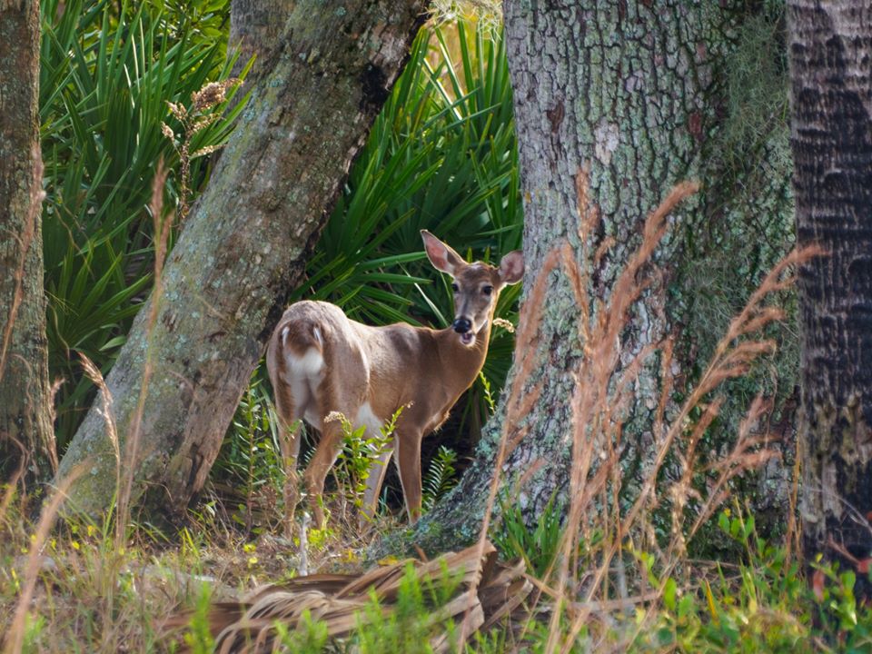
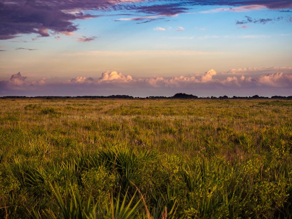
Less than an hour’s drive from Orlando, the easy-to-hike trails give visitors a wonderful view of several different ecosystems, each rich with its own unique plant and animal life. Imperiled sand pine scrub and xeric oak scrub are home to gopher tortoises and unique plants such as the Florida rosemary (Ceratiola ericoides).
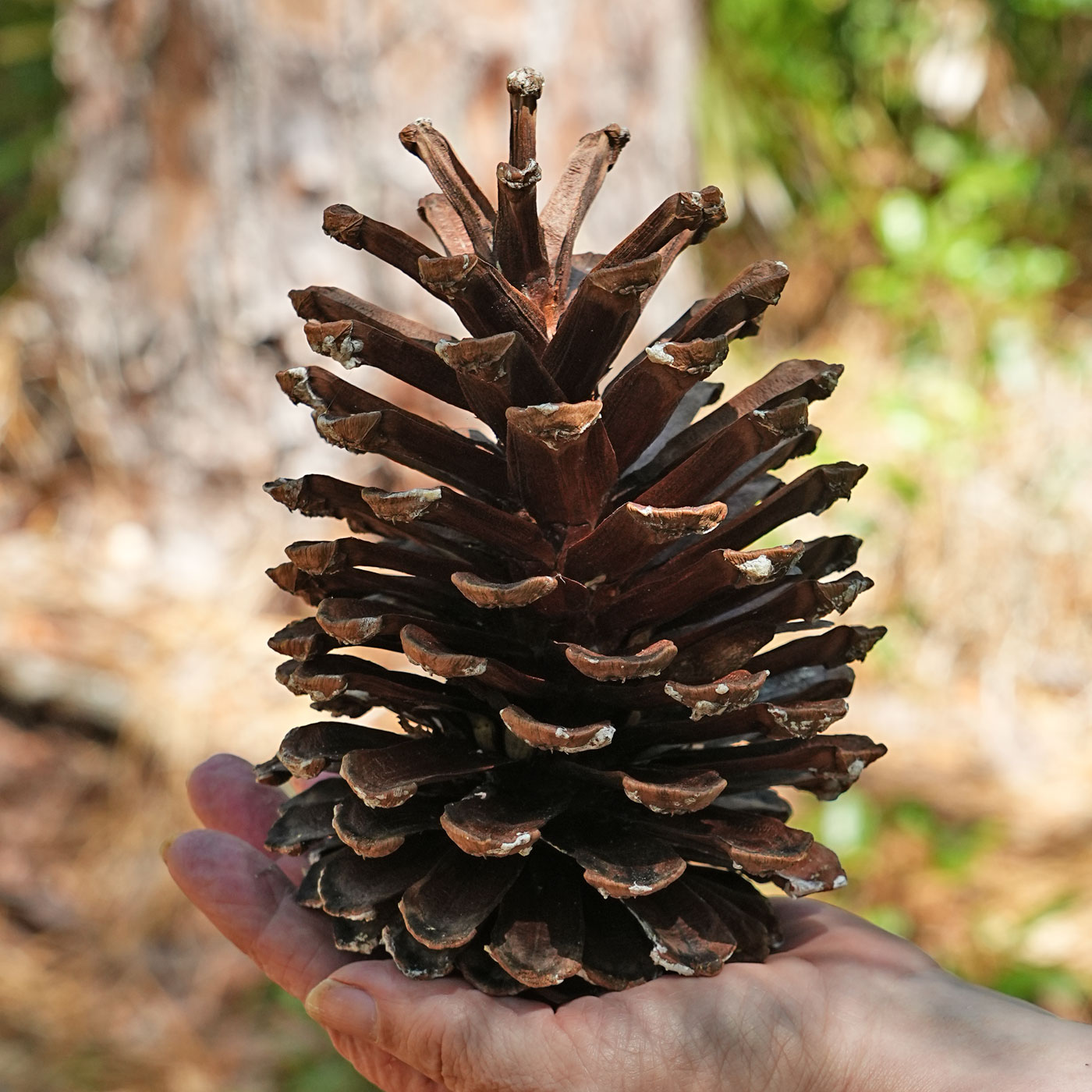
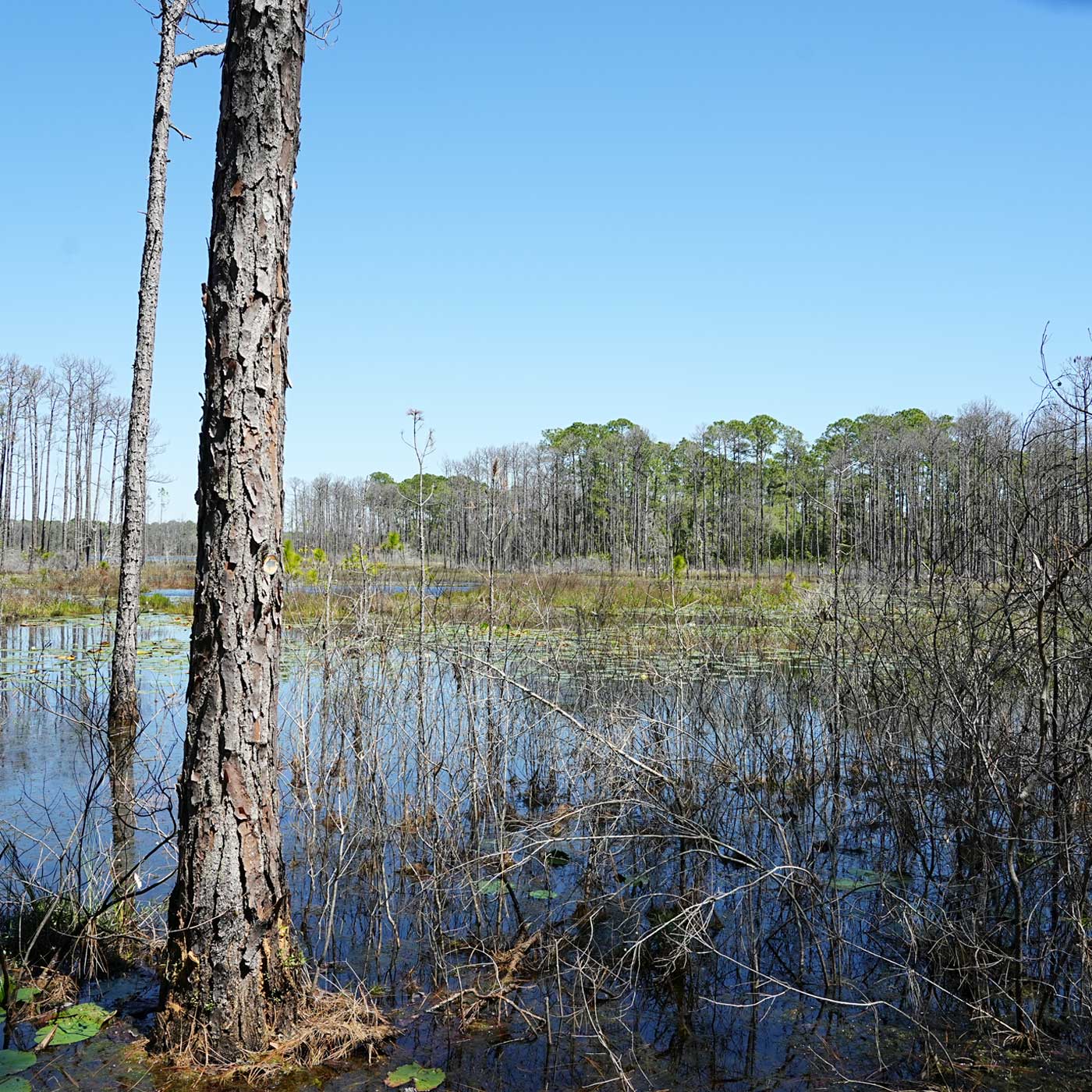
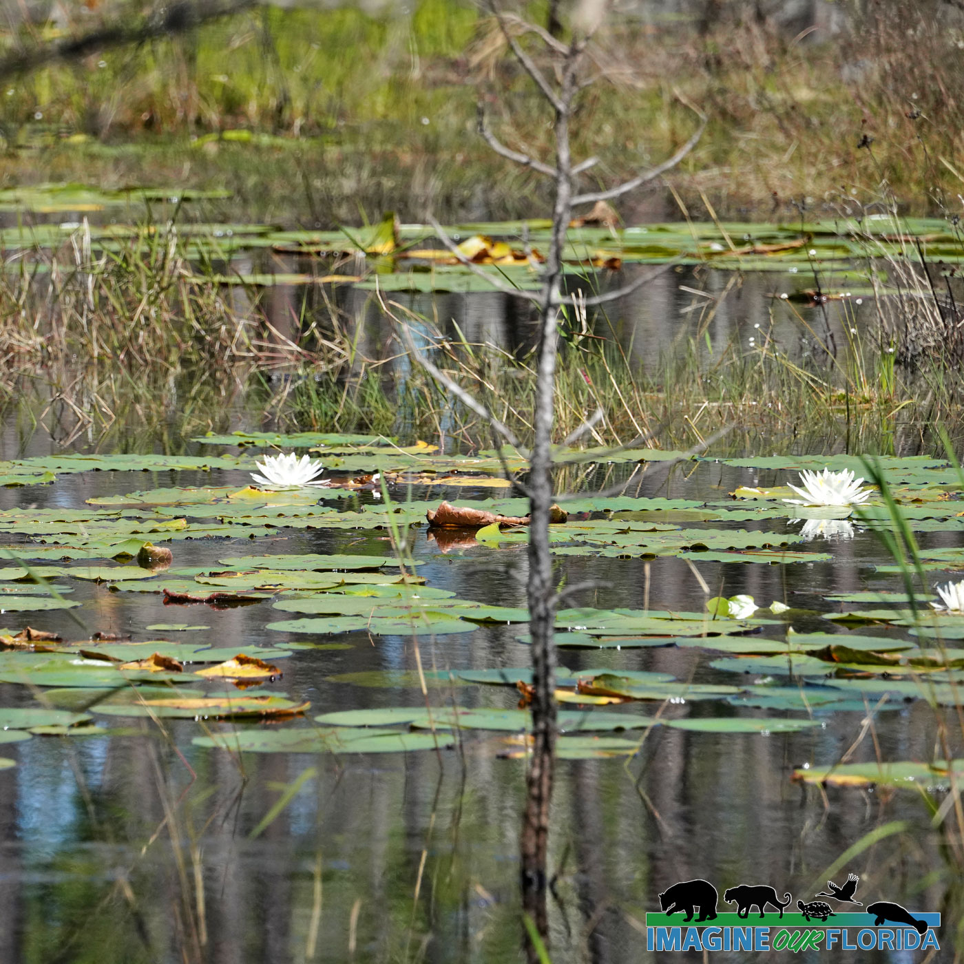
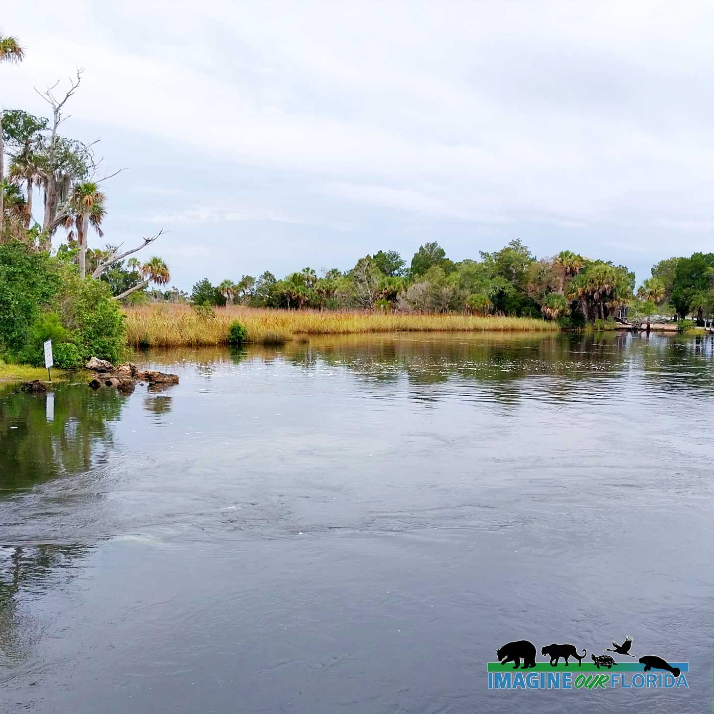
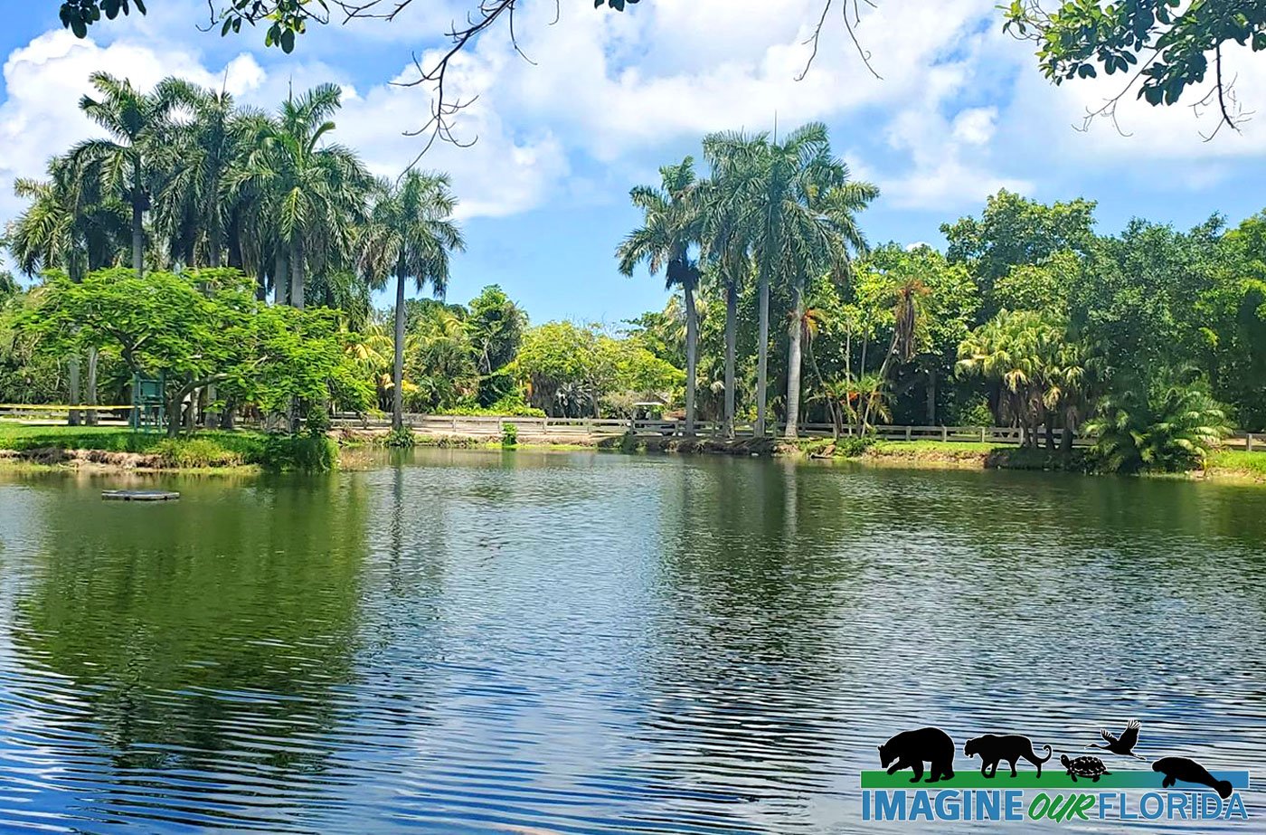
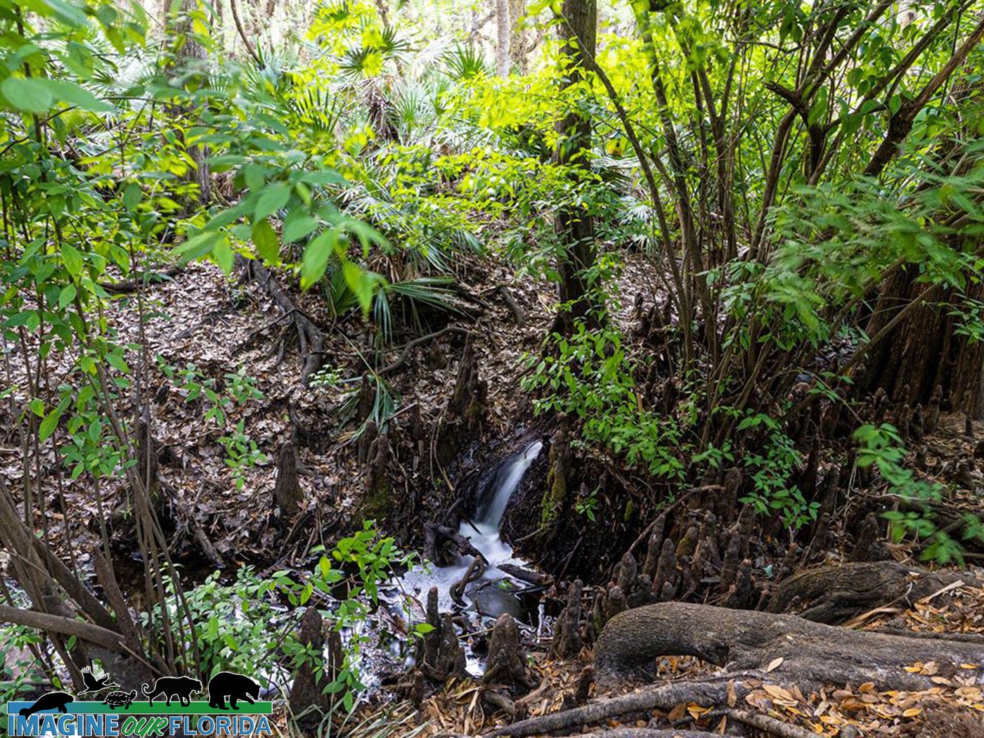
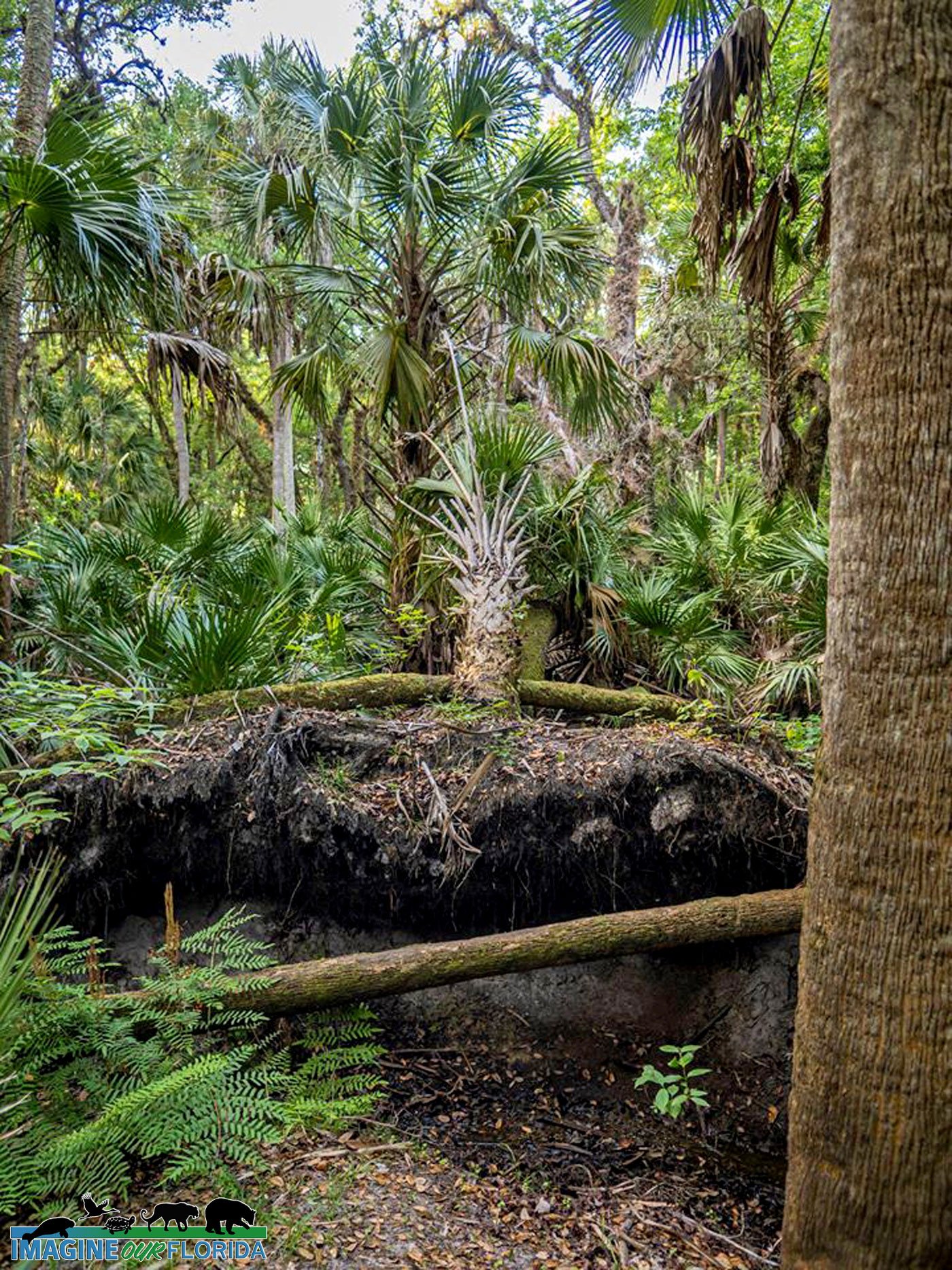
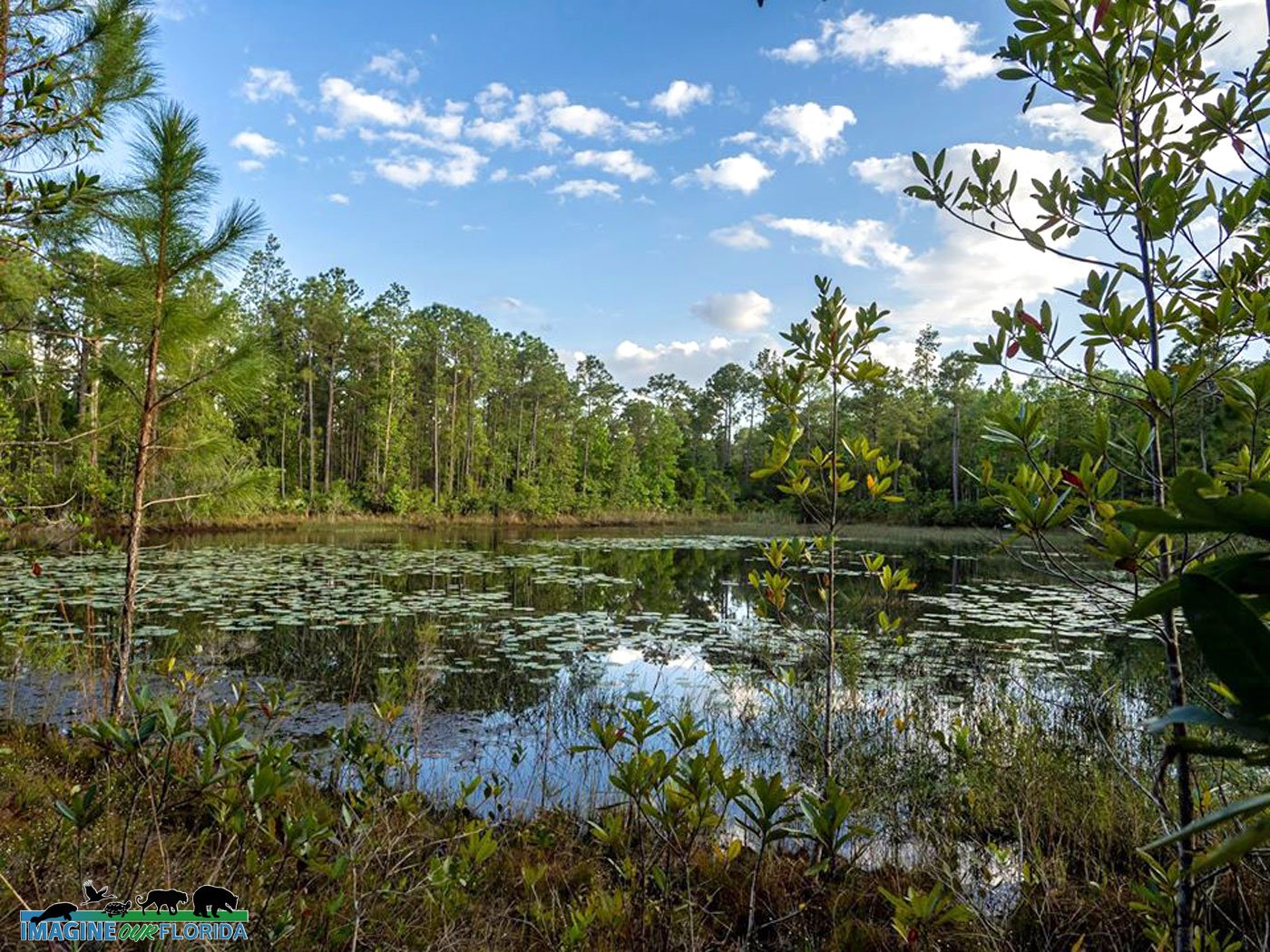
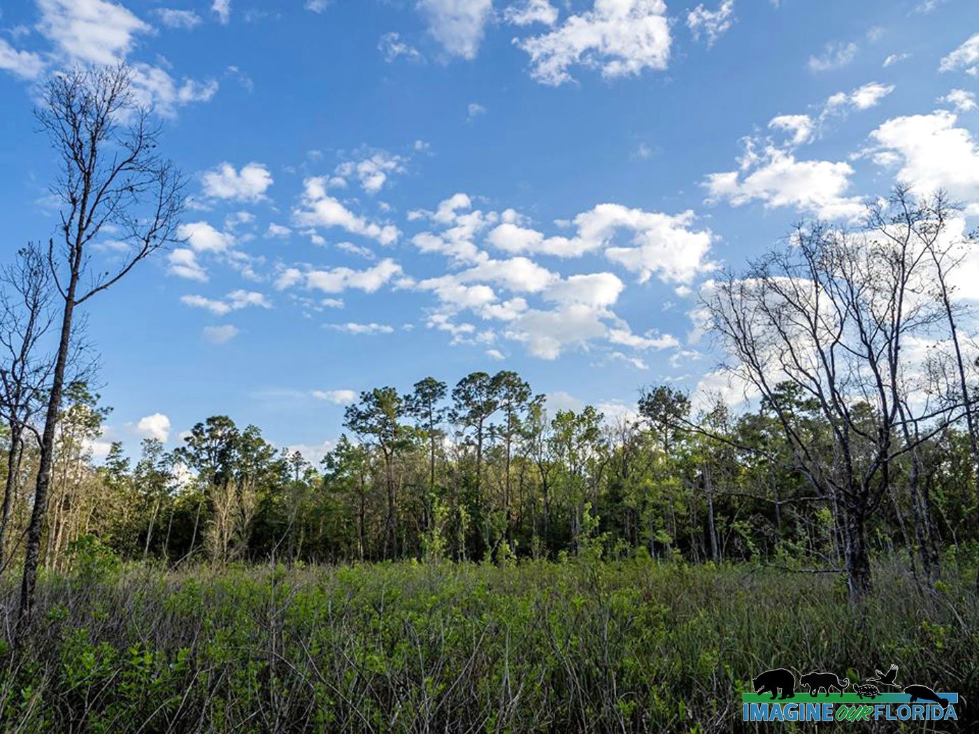
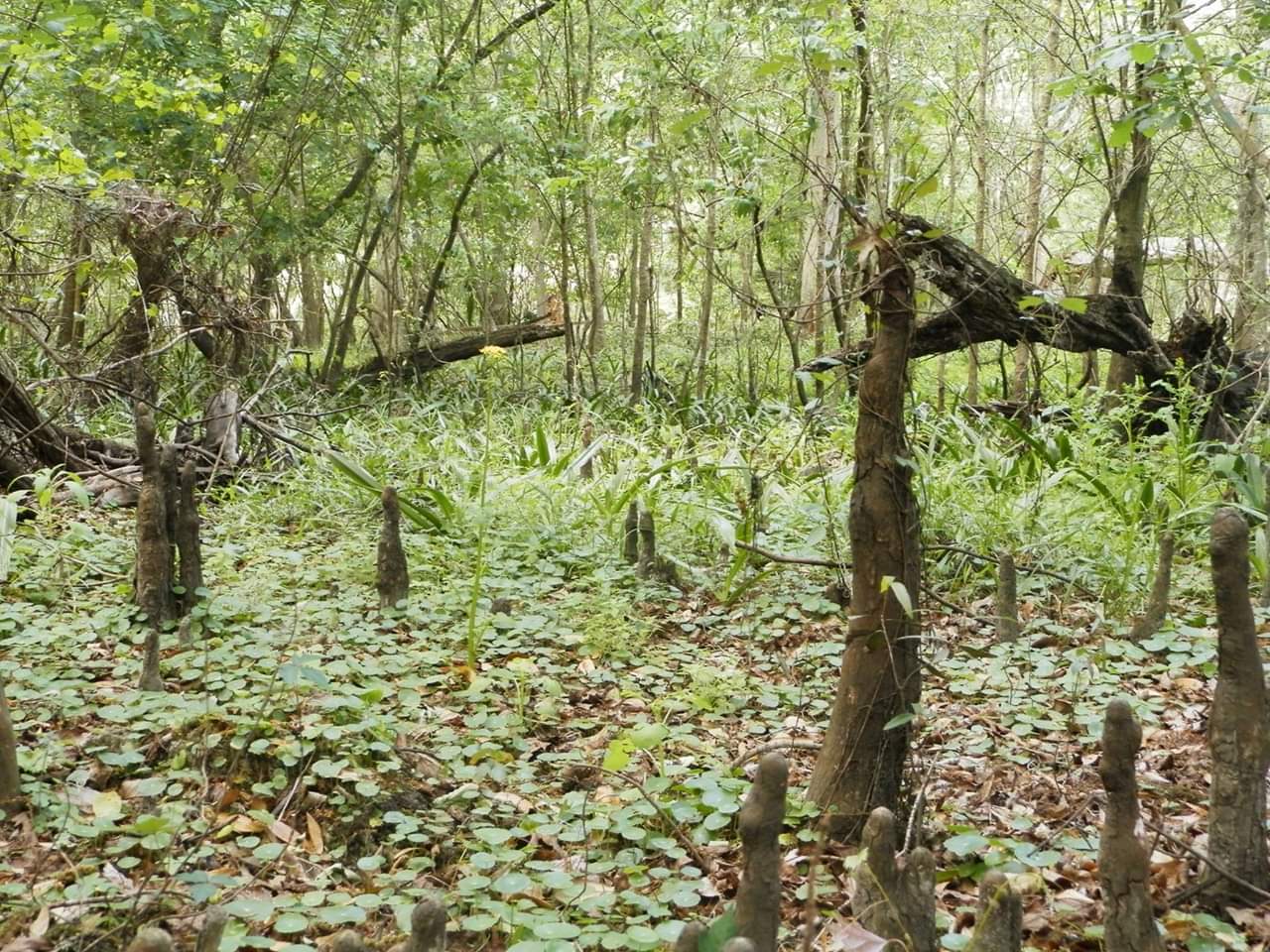
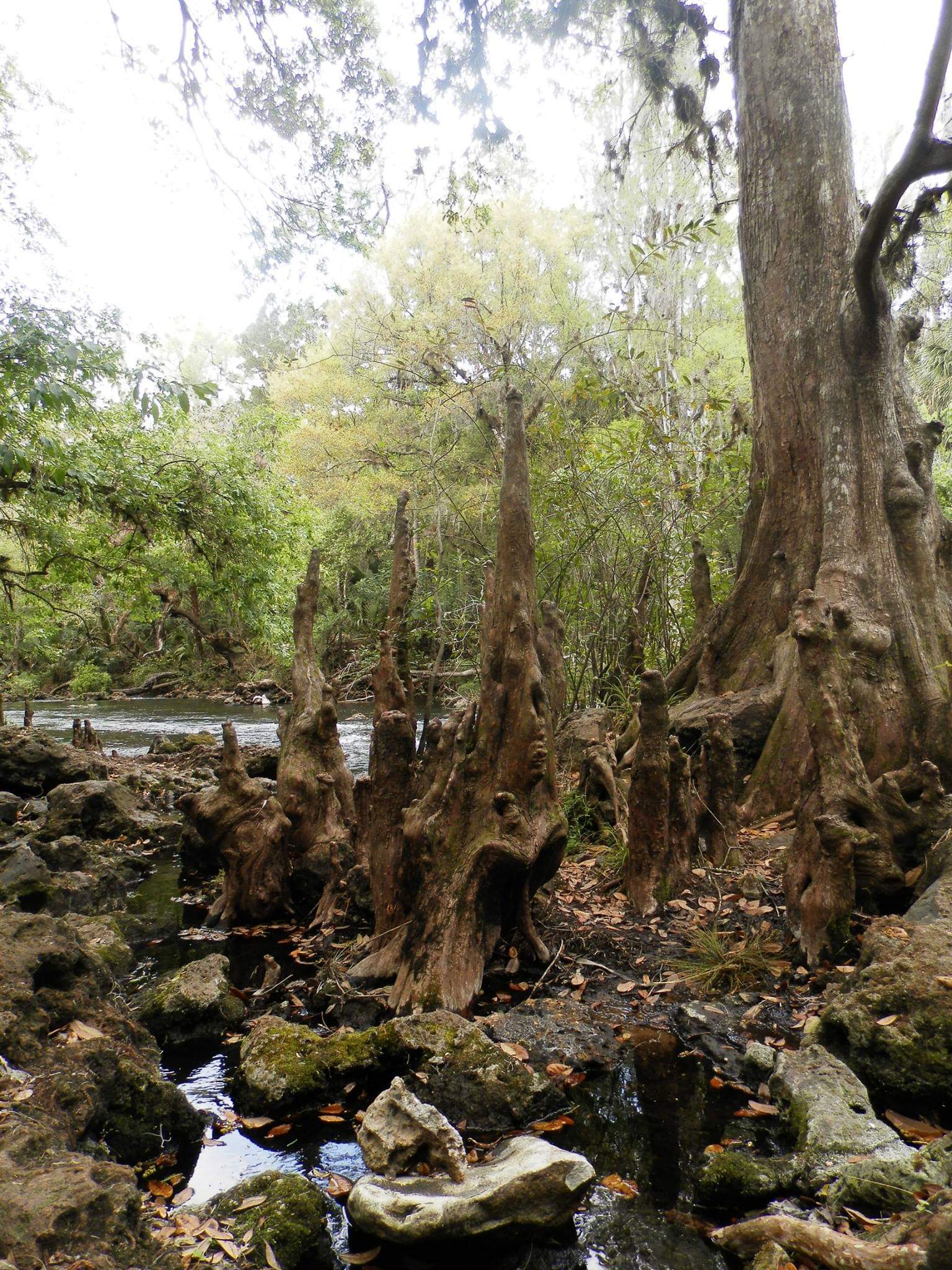
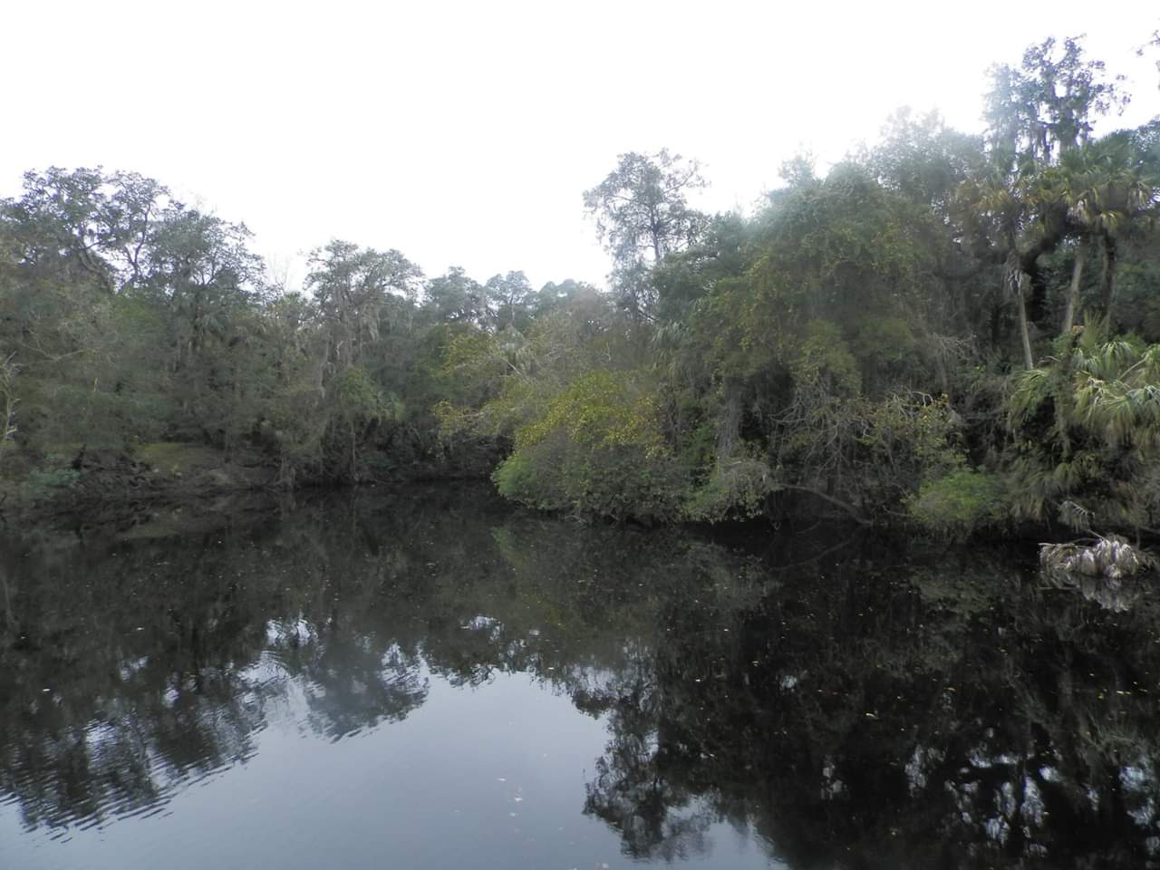
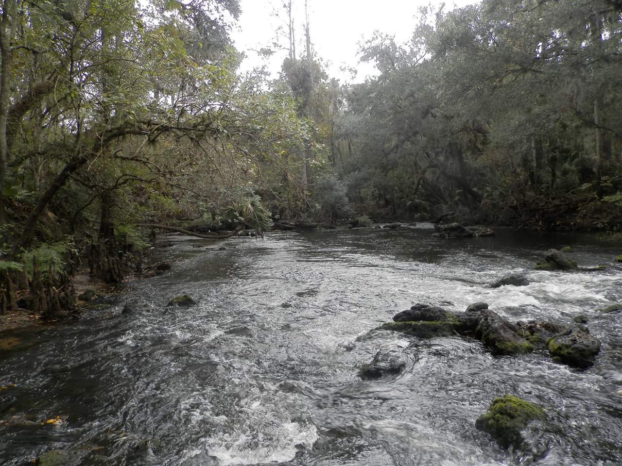
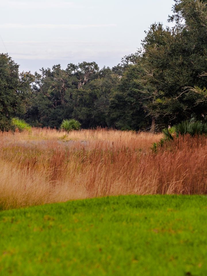
Lakes, wet prairies, freshwater marsh, wetland hardwood swamp/bay swamp, and scrubby pine flatwoods are all represented in this conservation area as well.
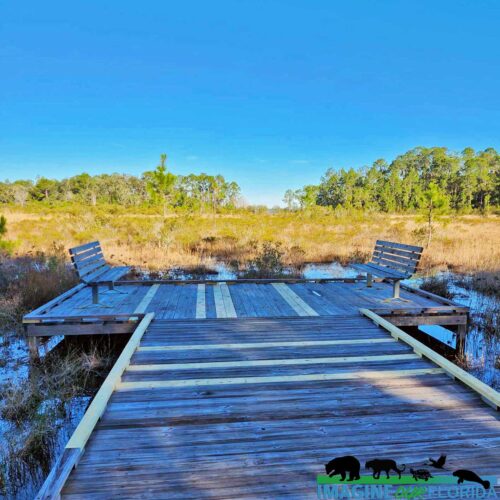
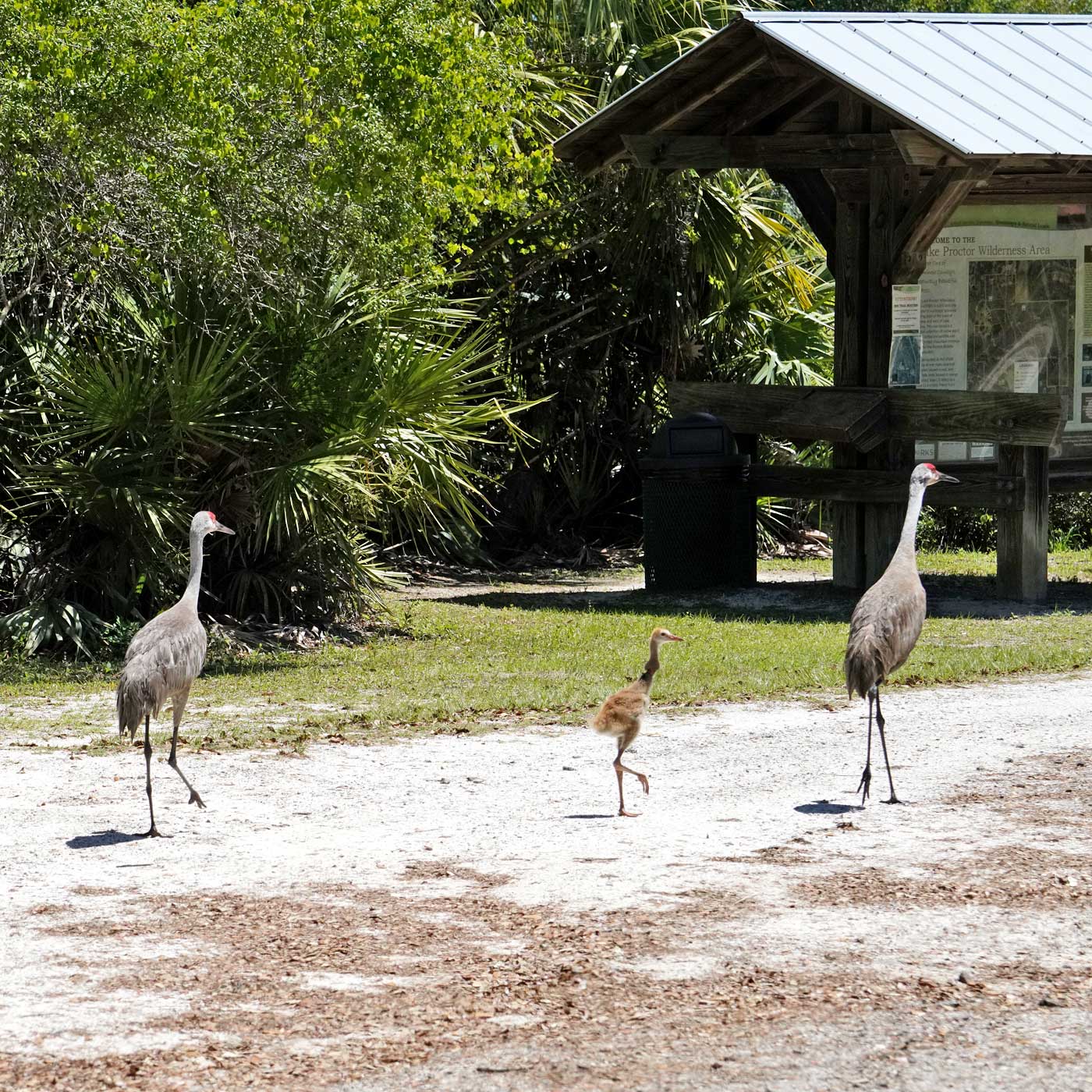
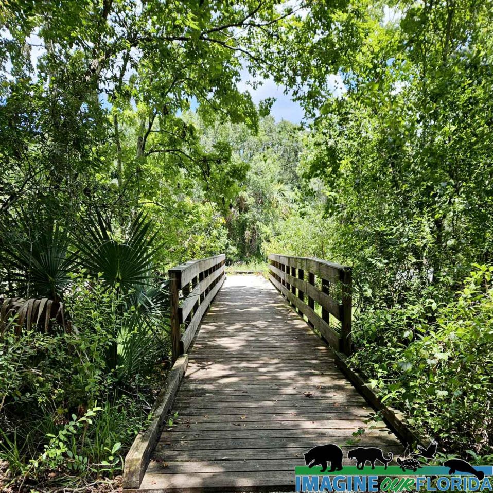
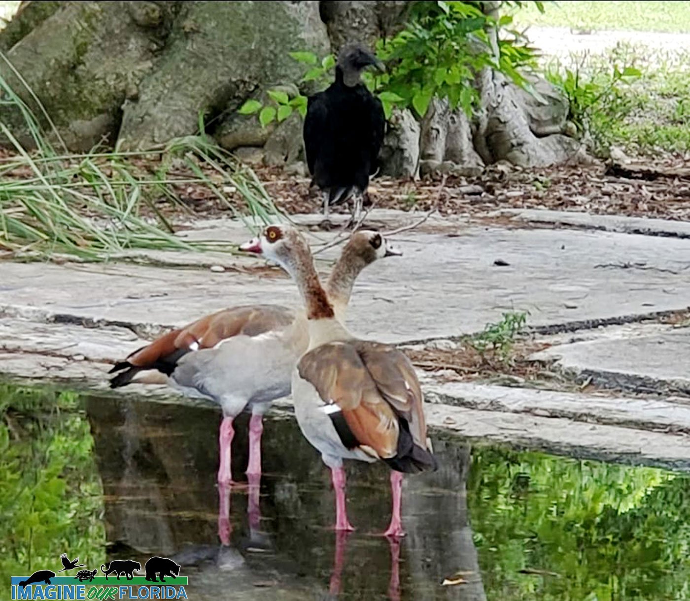
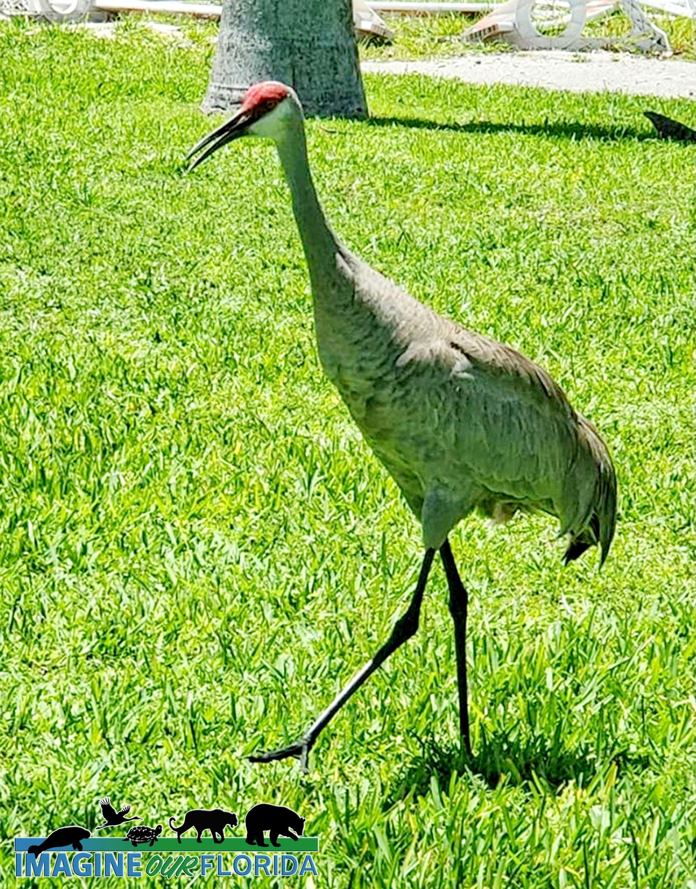
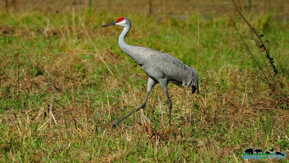
A beautiful boardwalk through some of the swampy areas leads out to an observation platform, complete with two benches for some quiet contemplation. If you visit in the winter, the air around the platform is often filled with the raucous calls of the magnificent sandhill cranes that frequent the swamps and lake edges to forage for food.
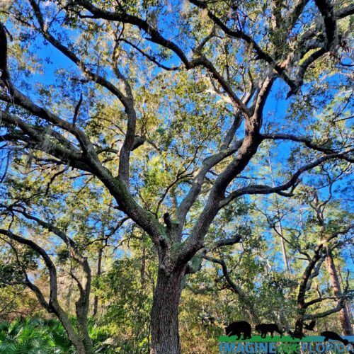
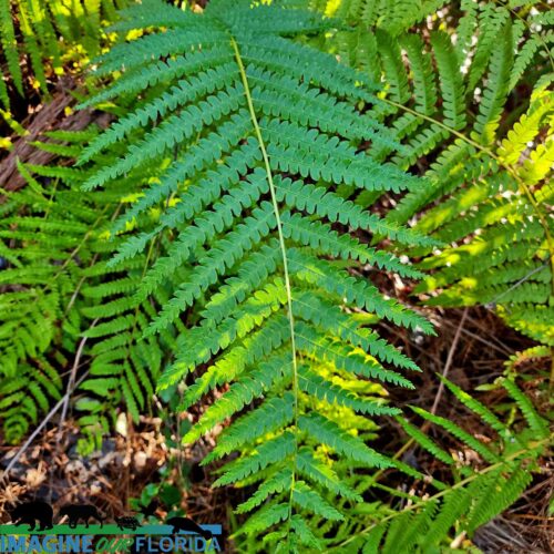
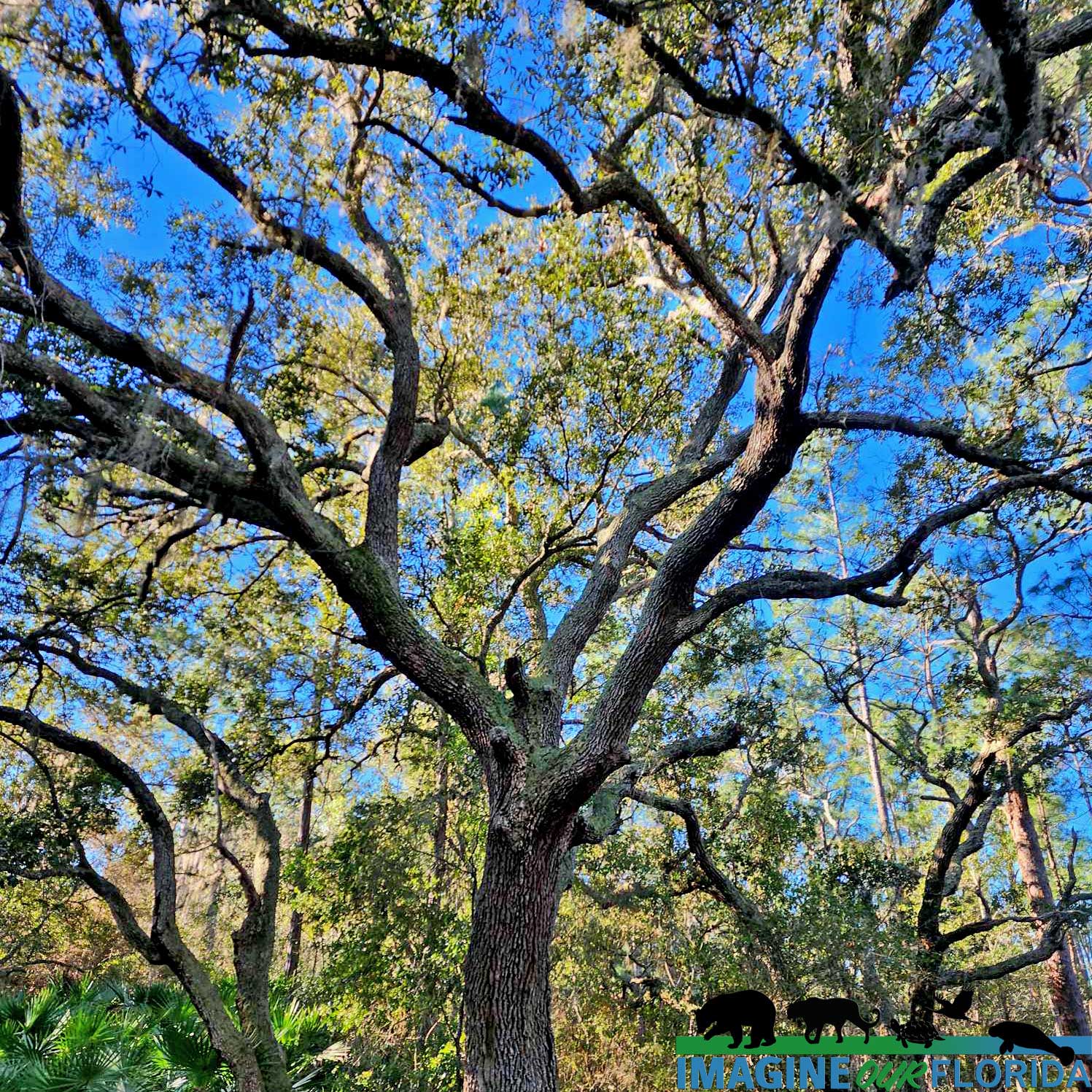
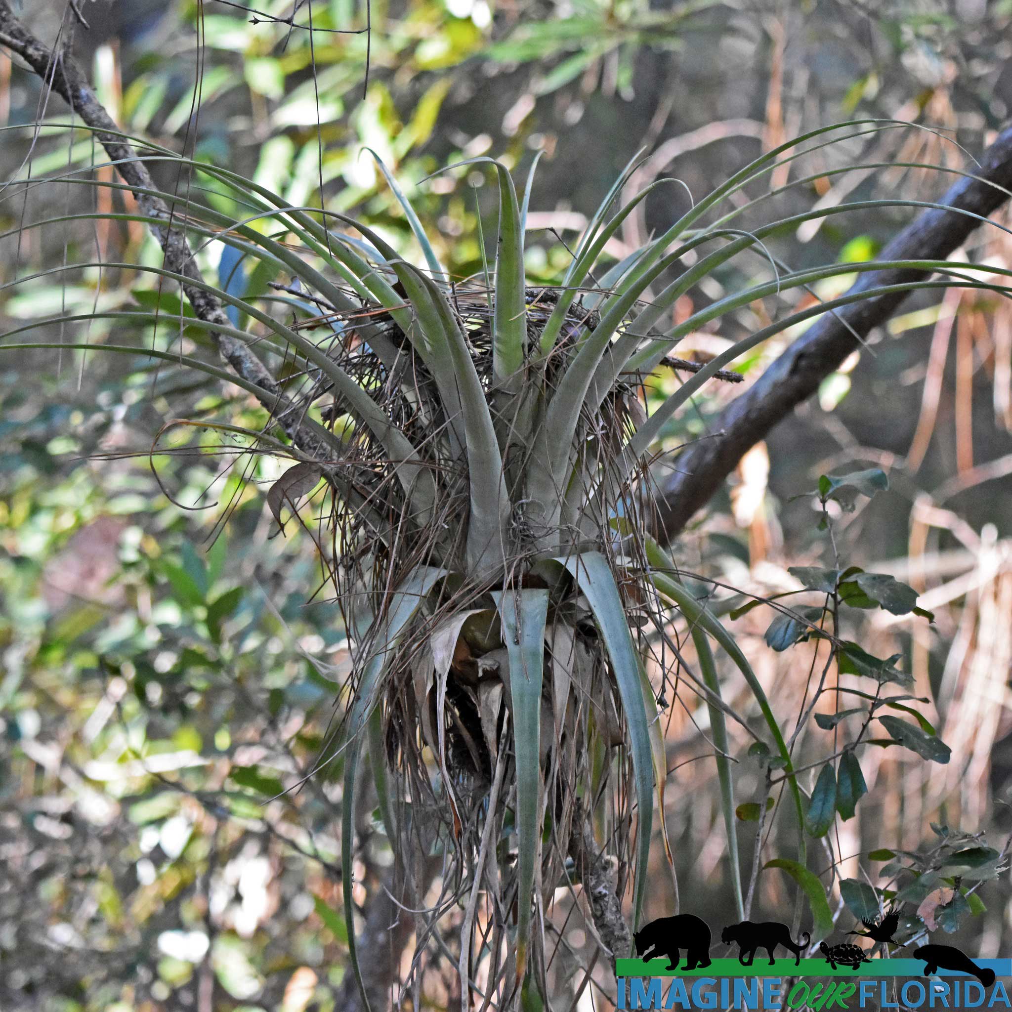
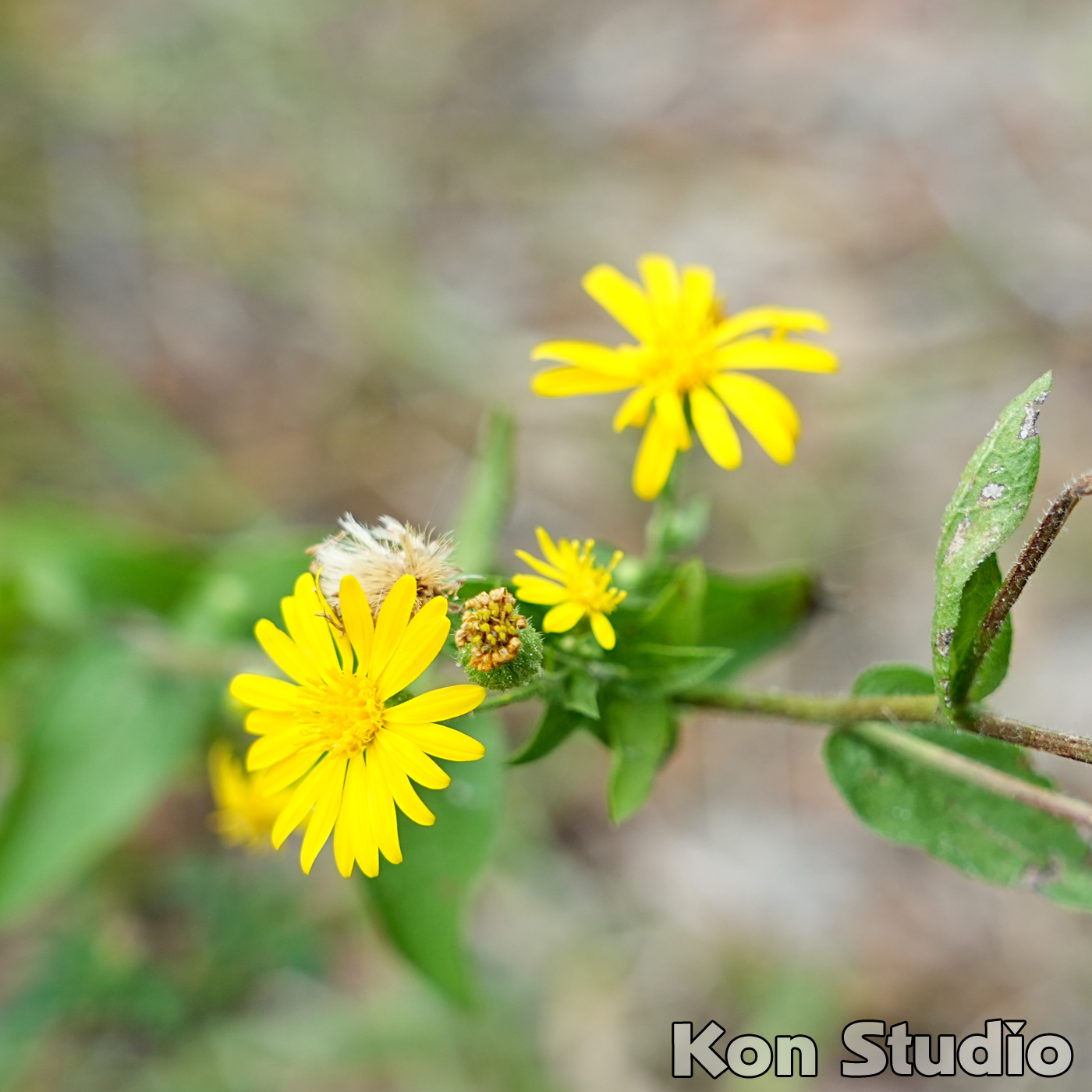
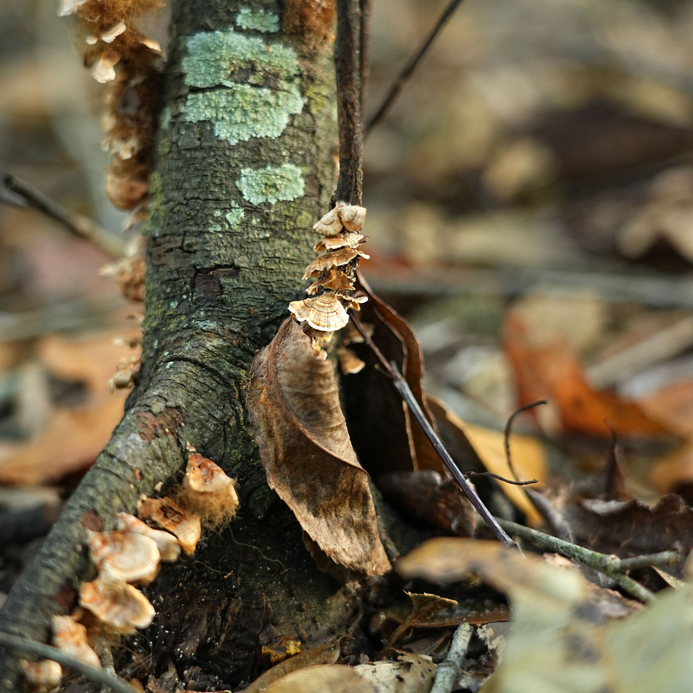
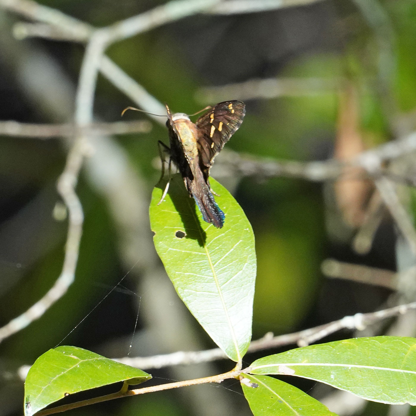
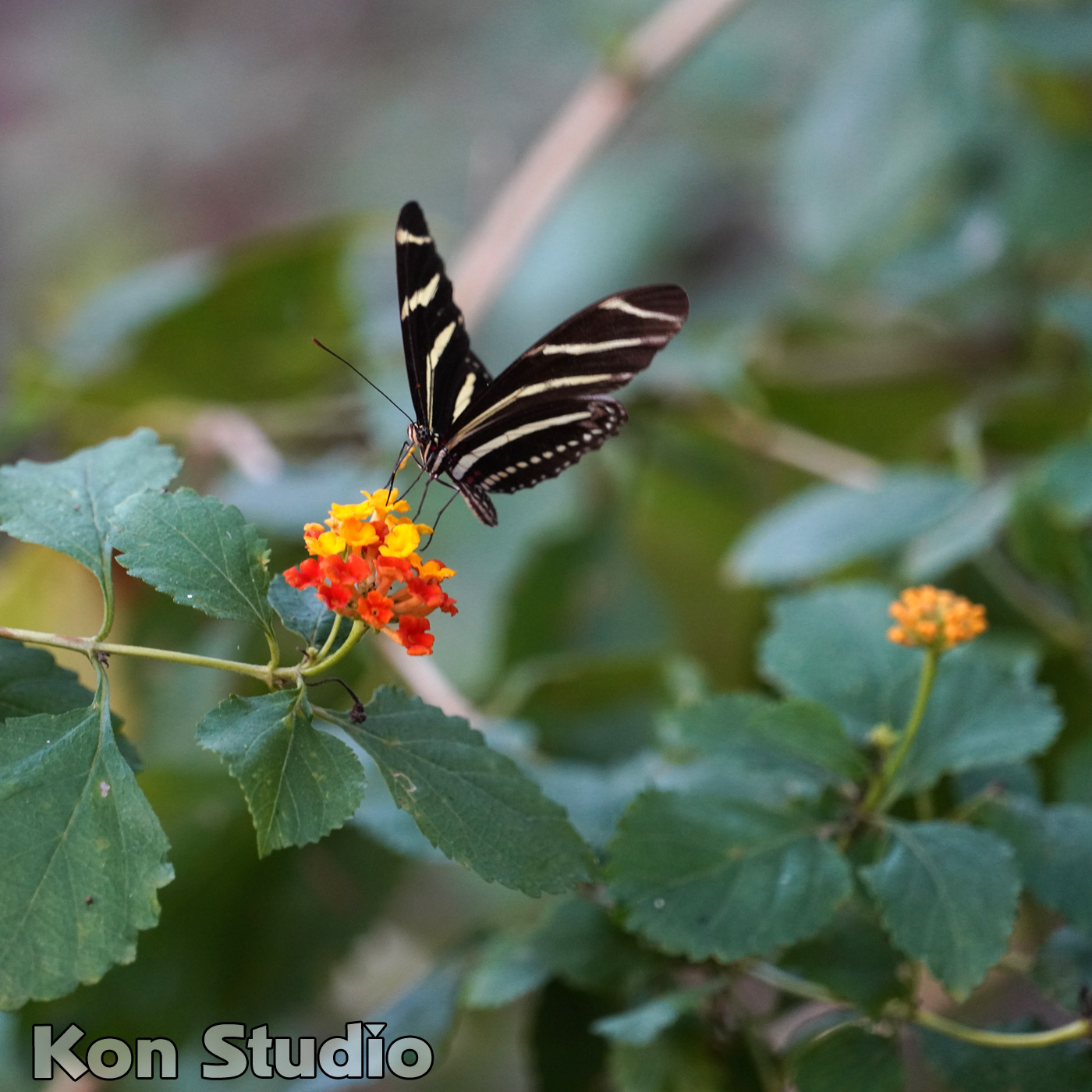
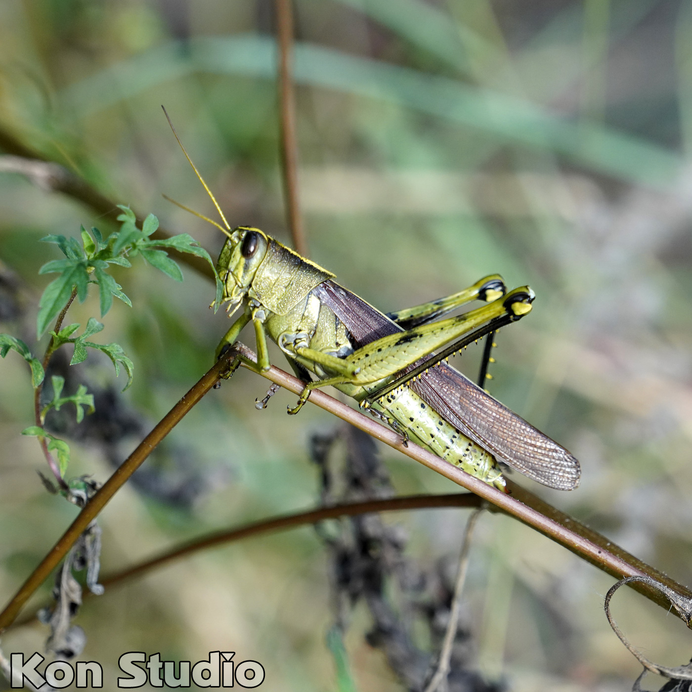
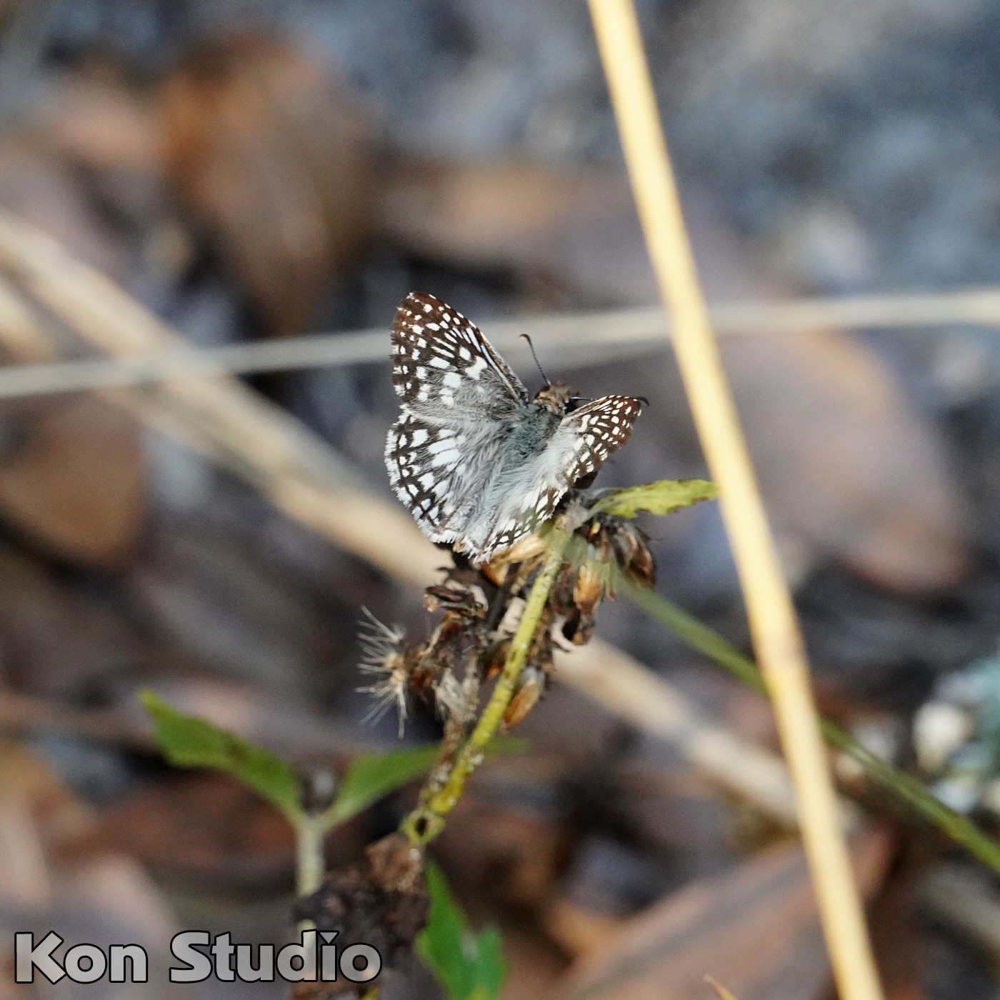
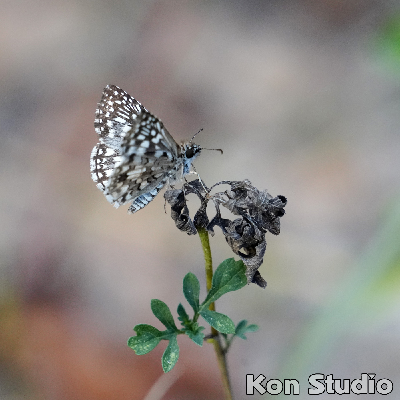
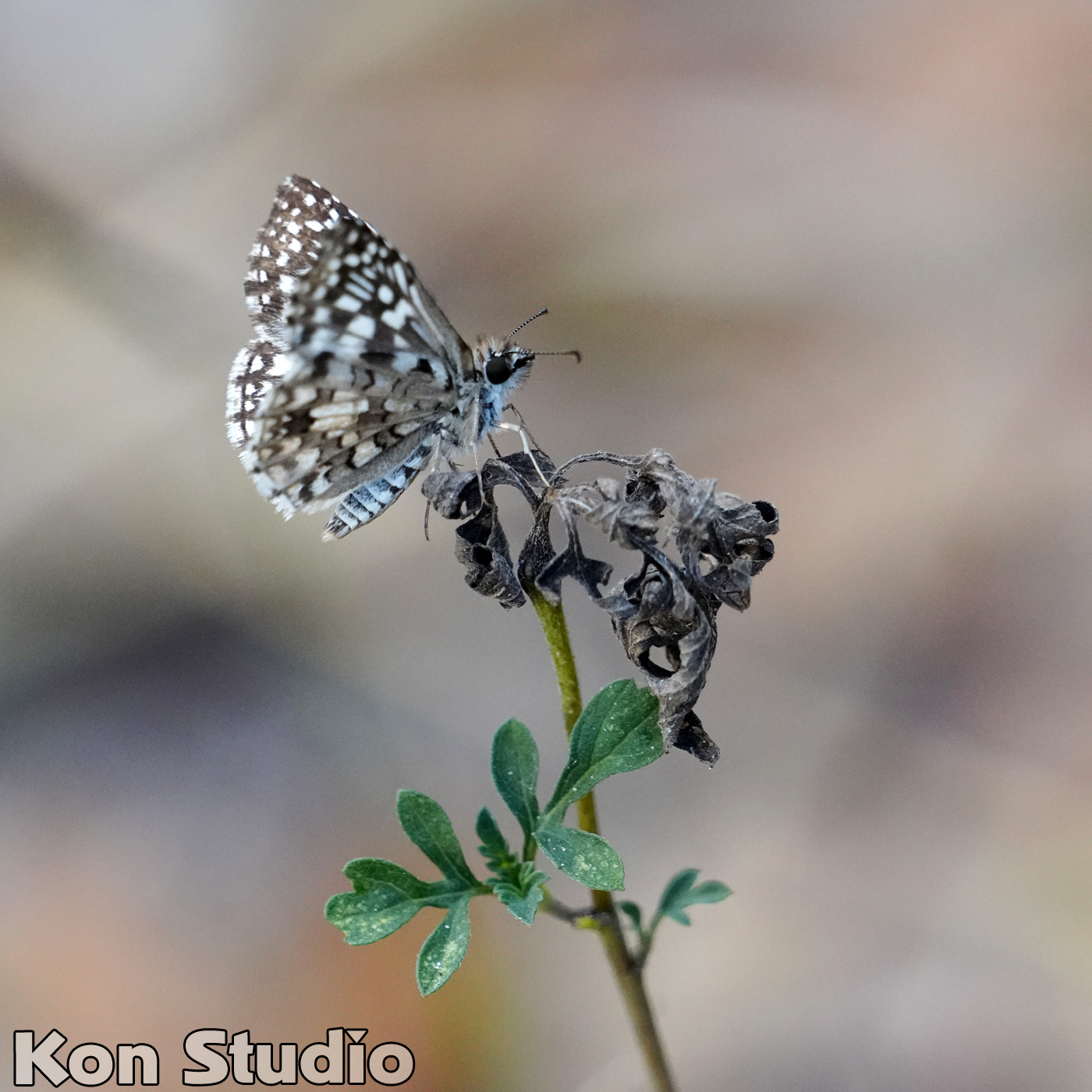
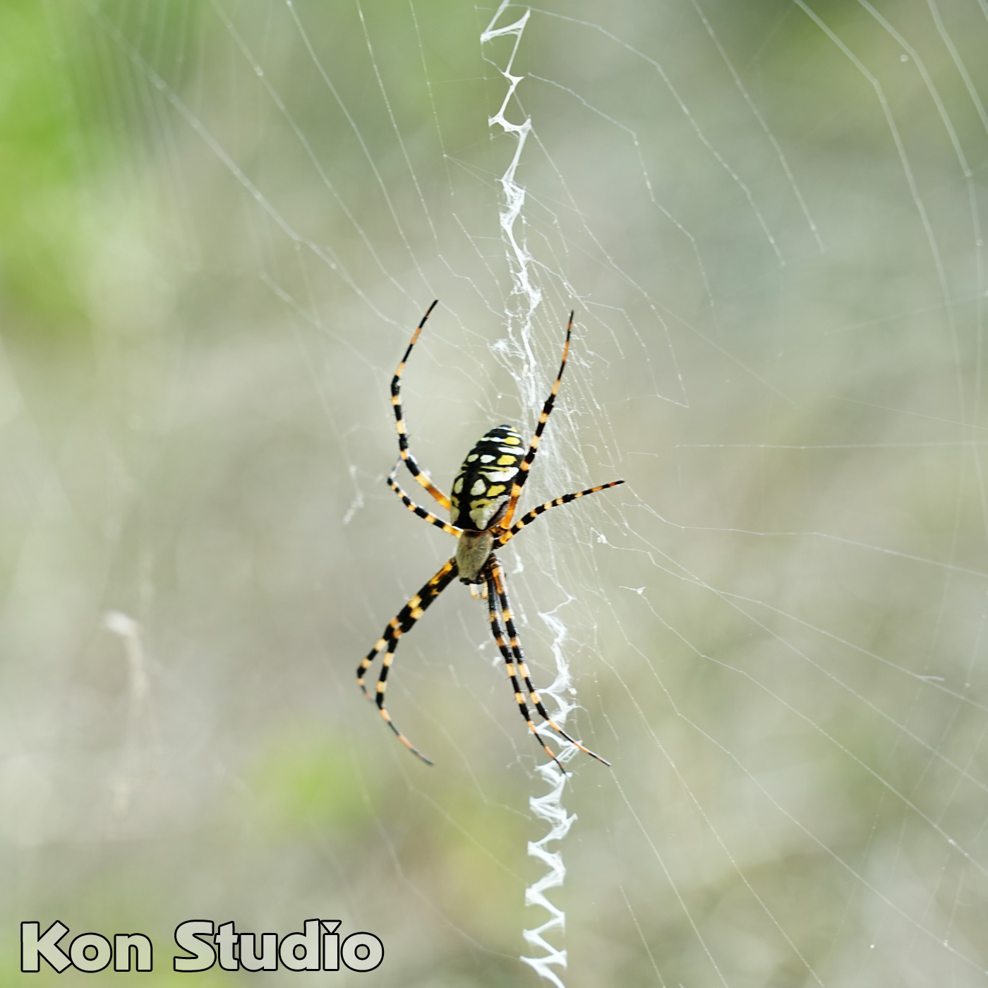
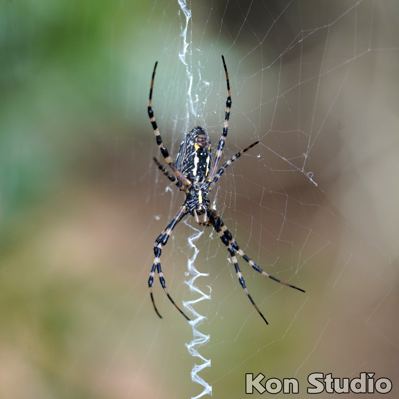
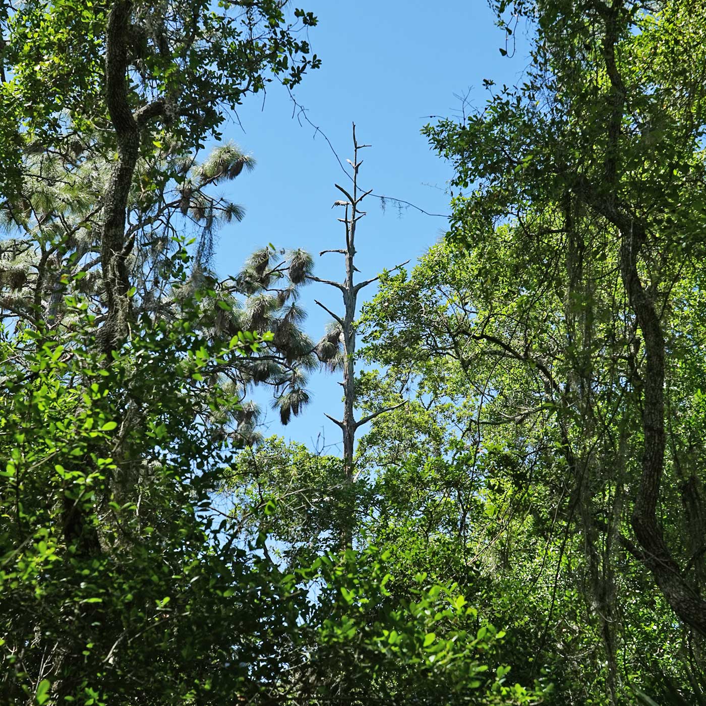
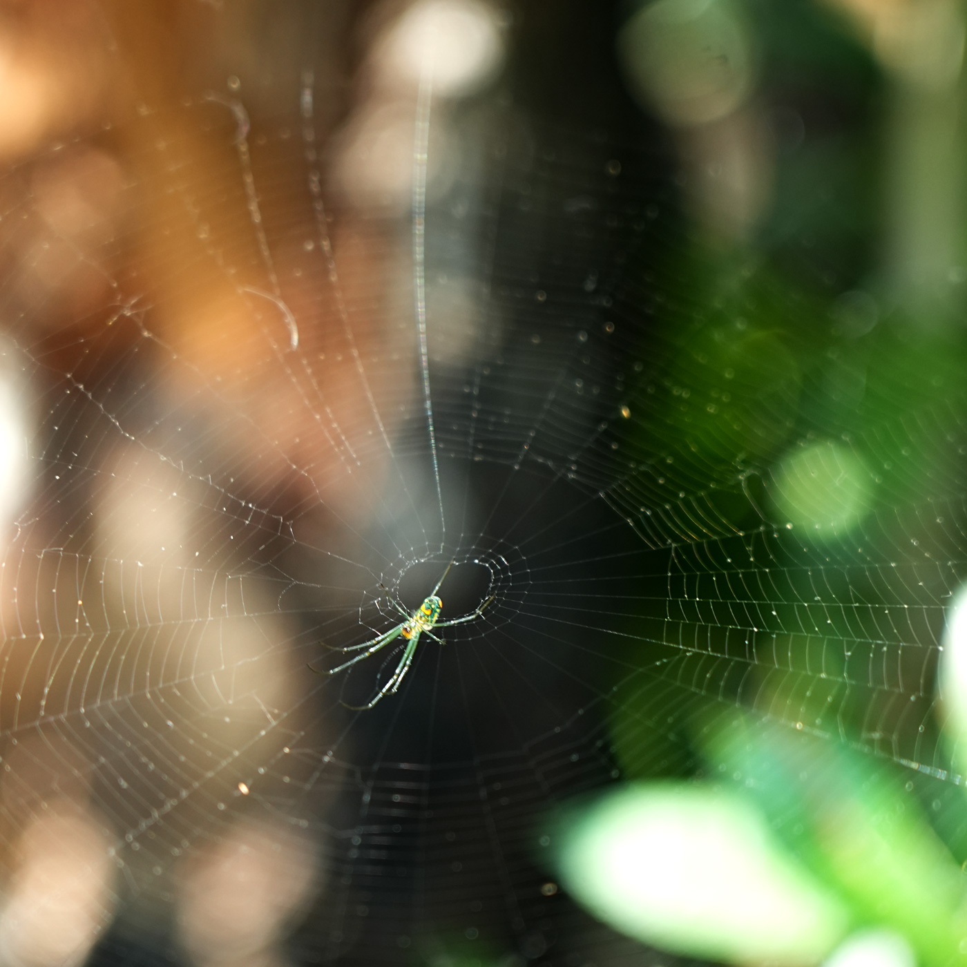
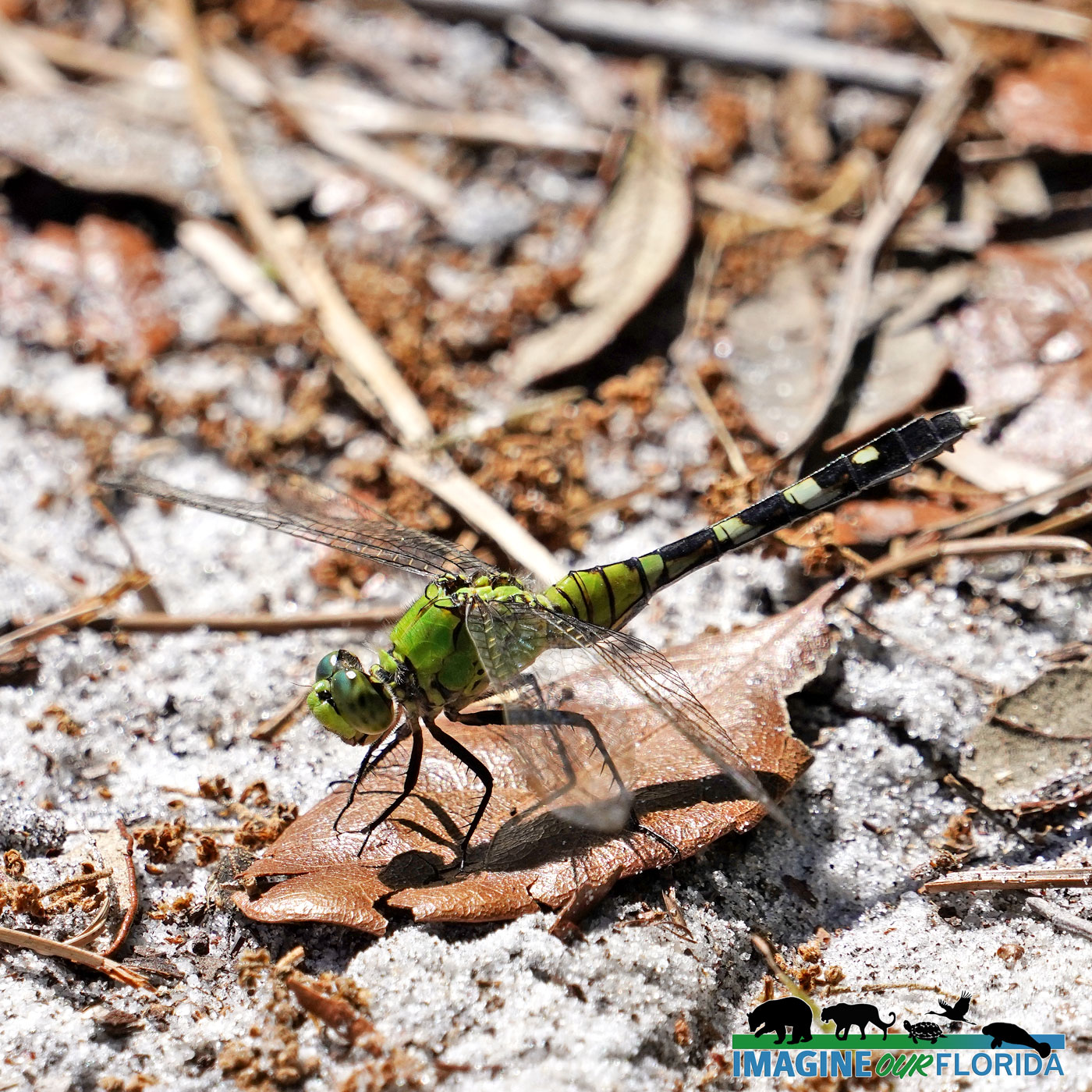
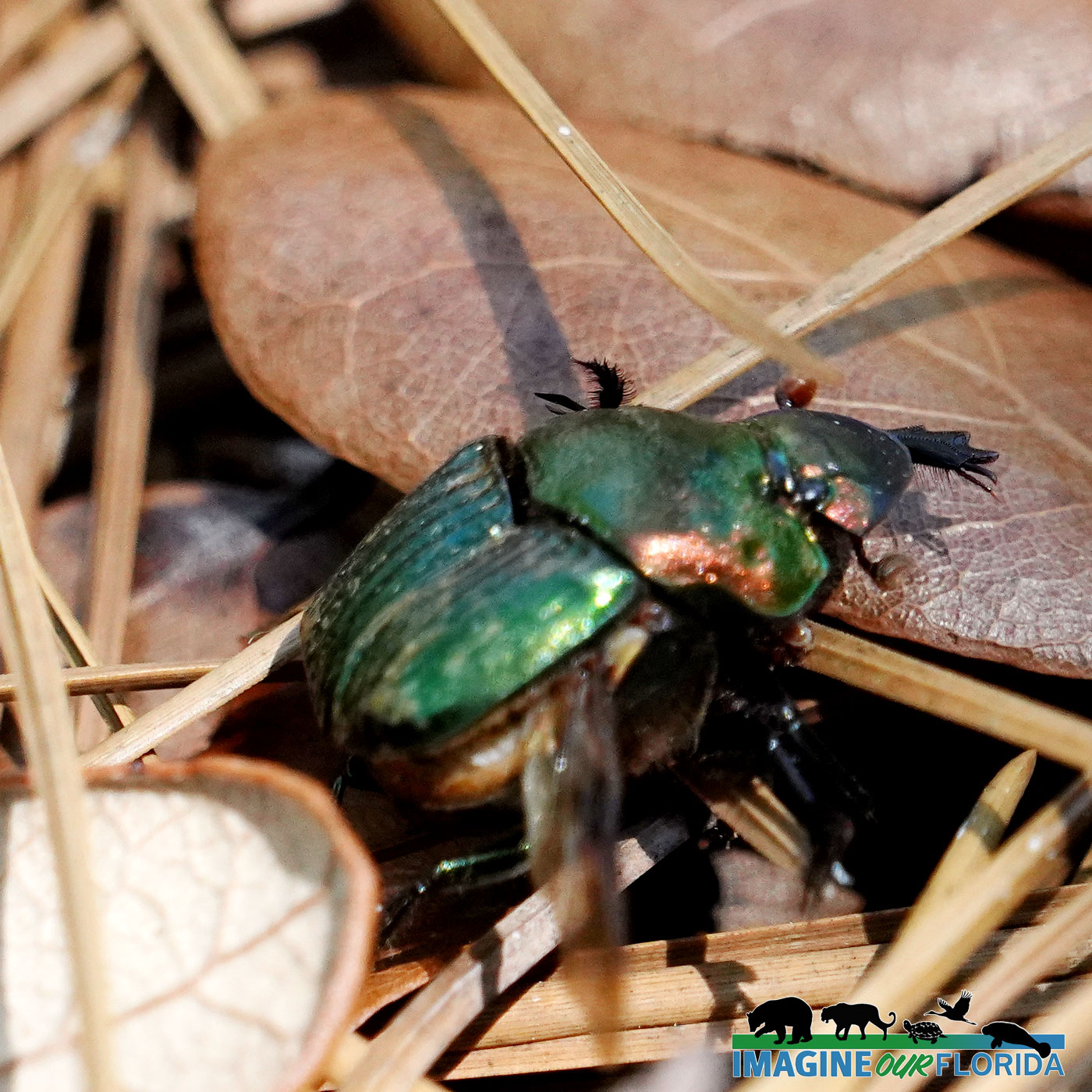
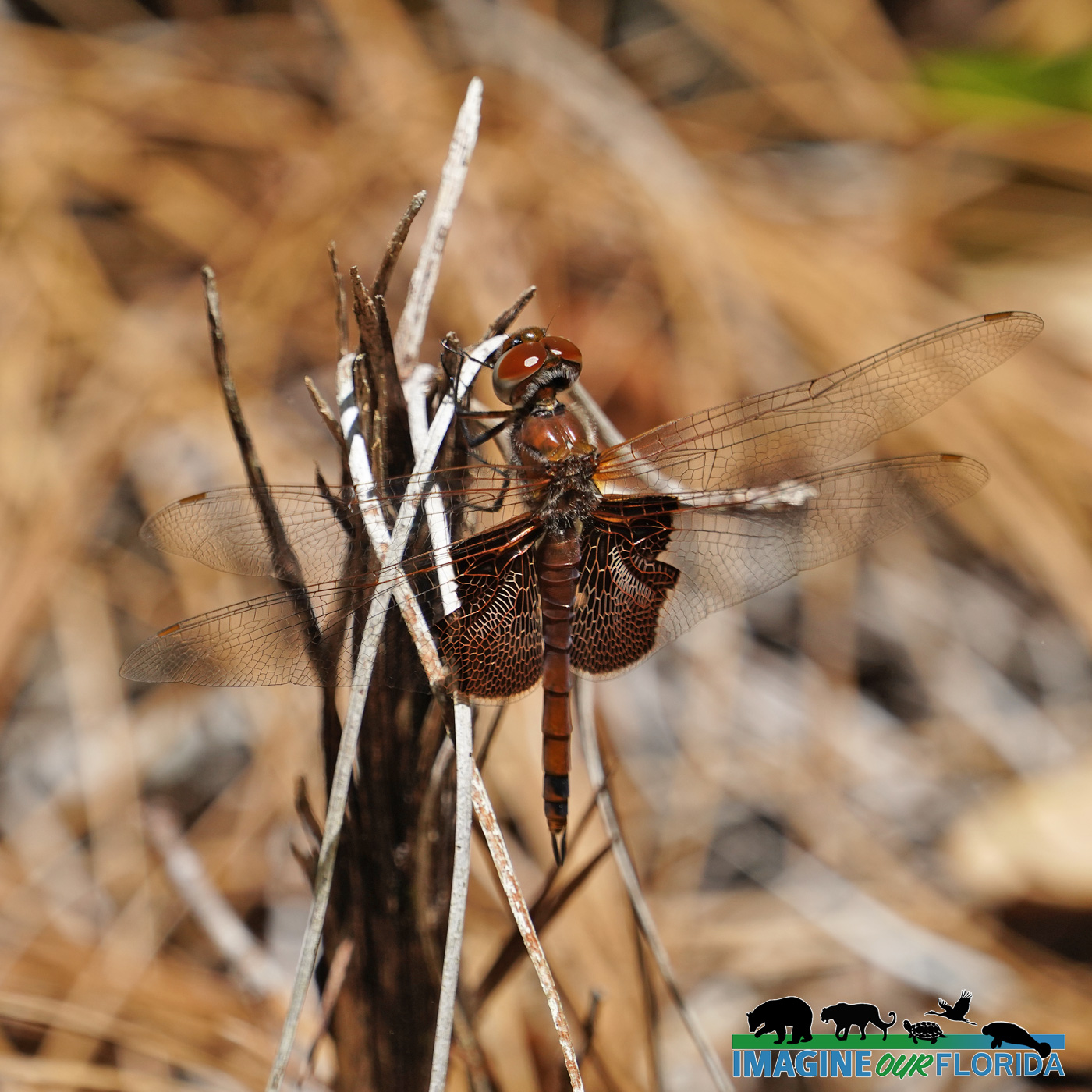
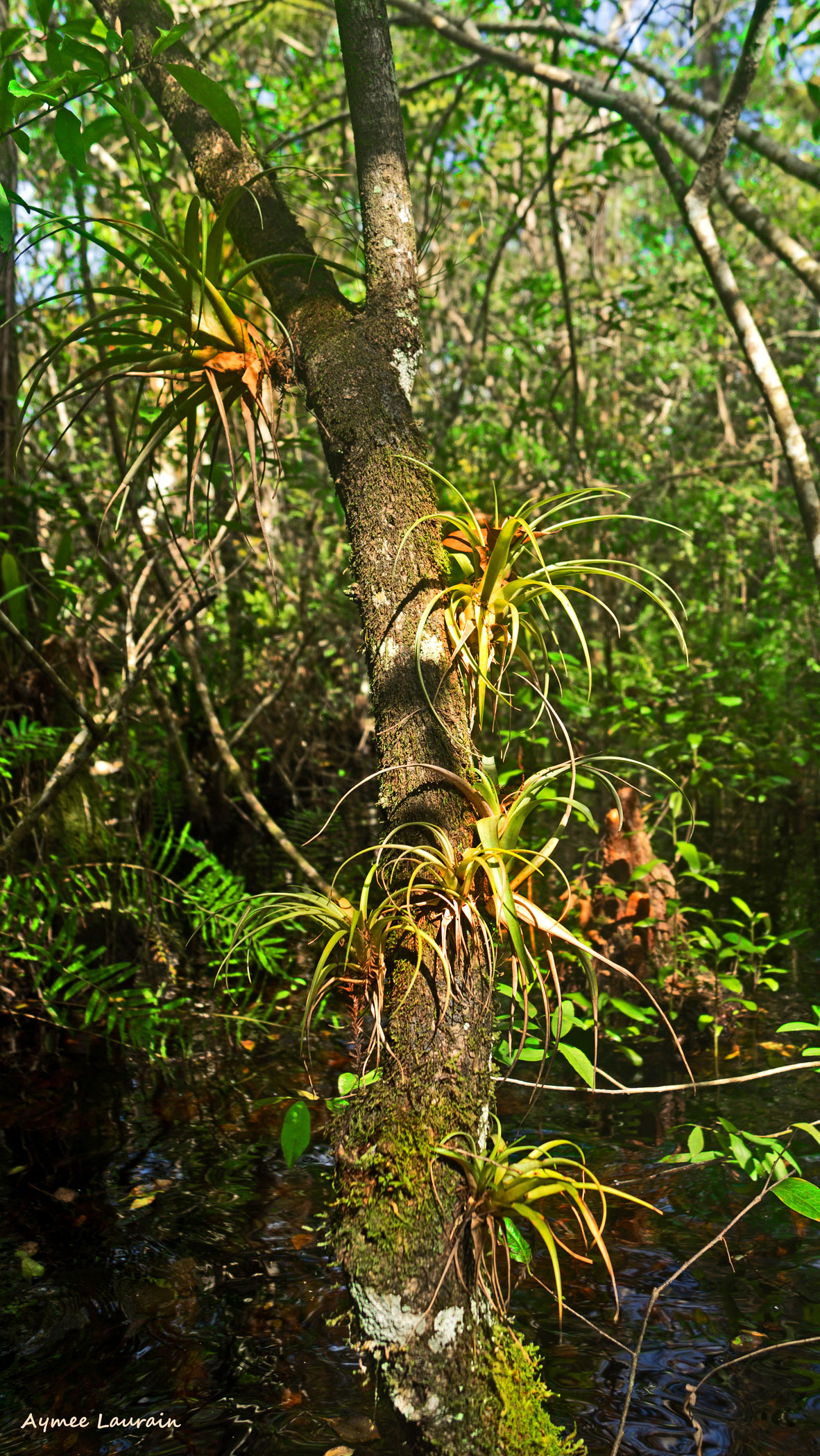
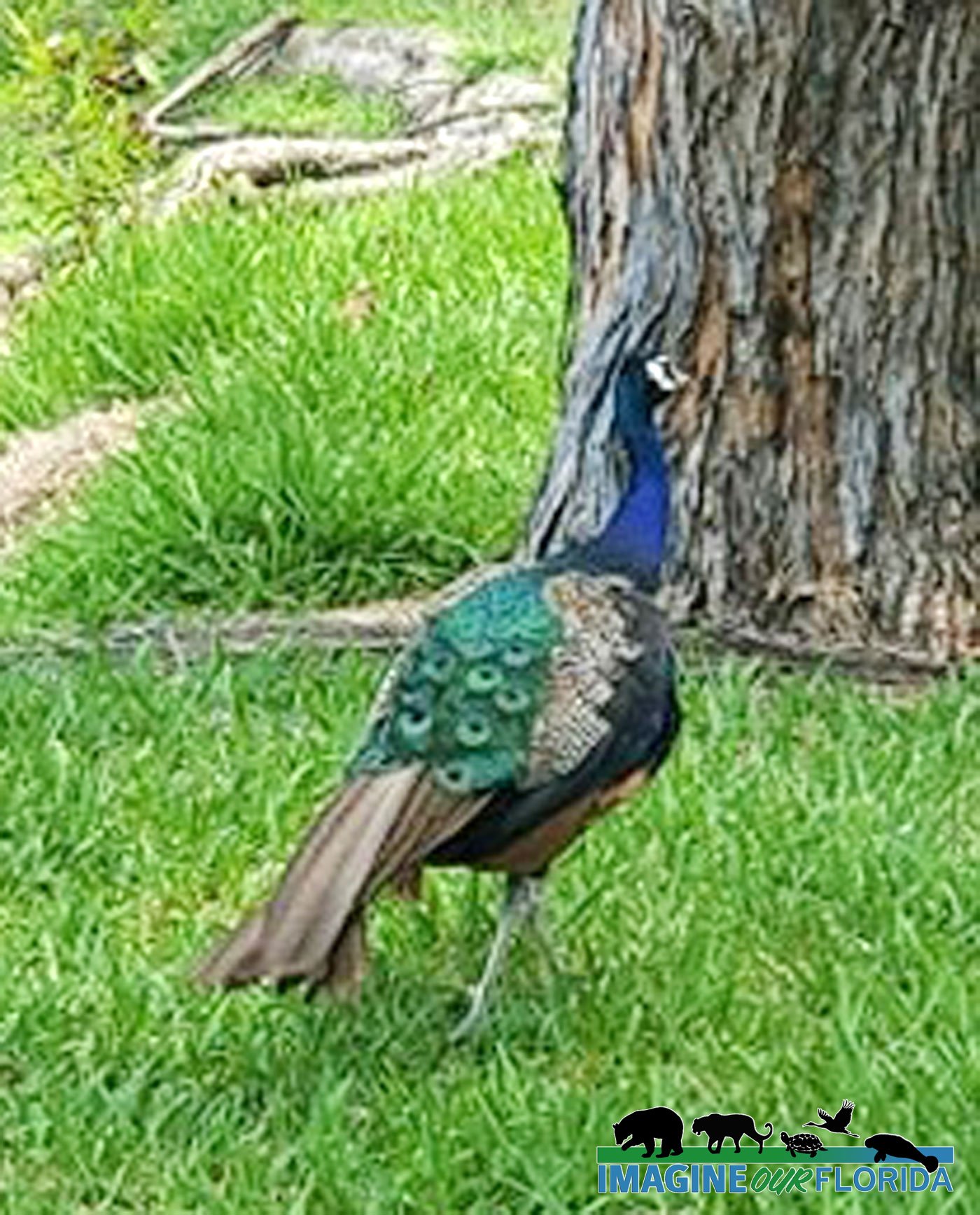
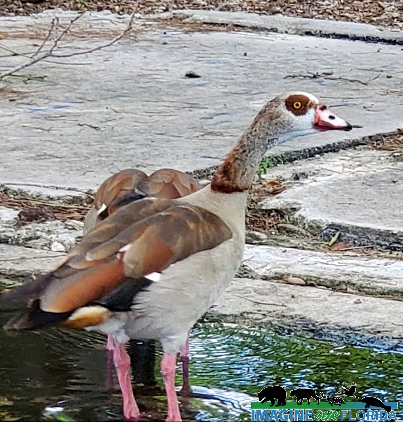
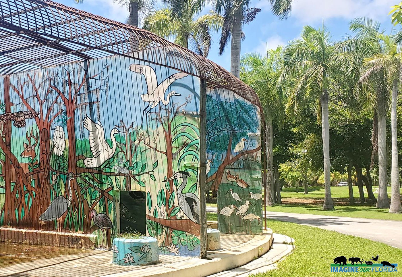
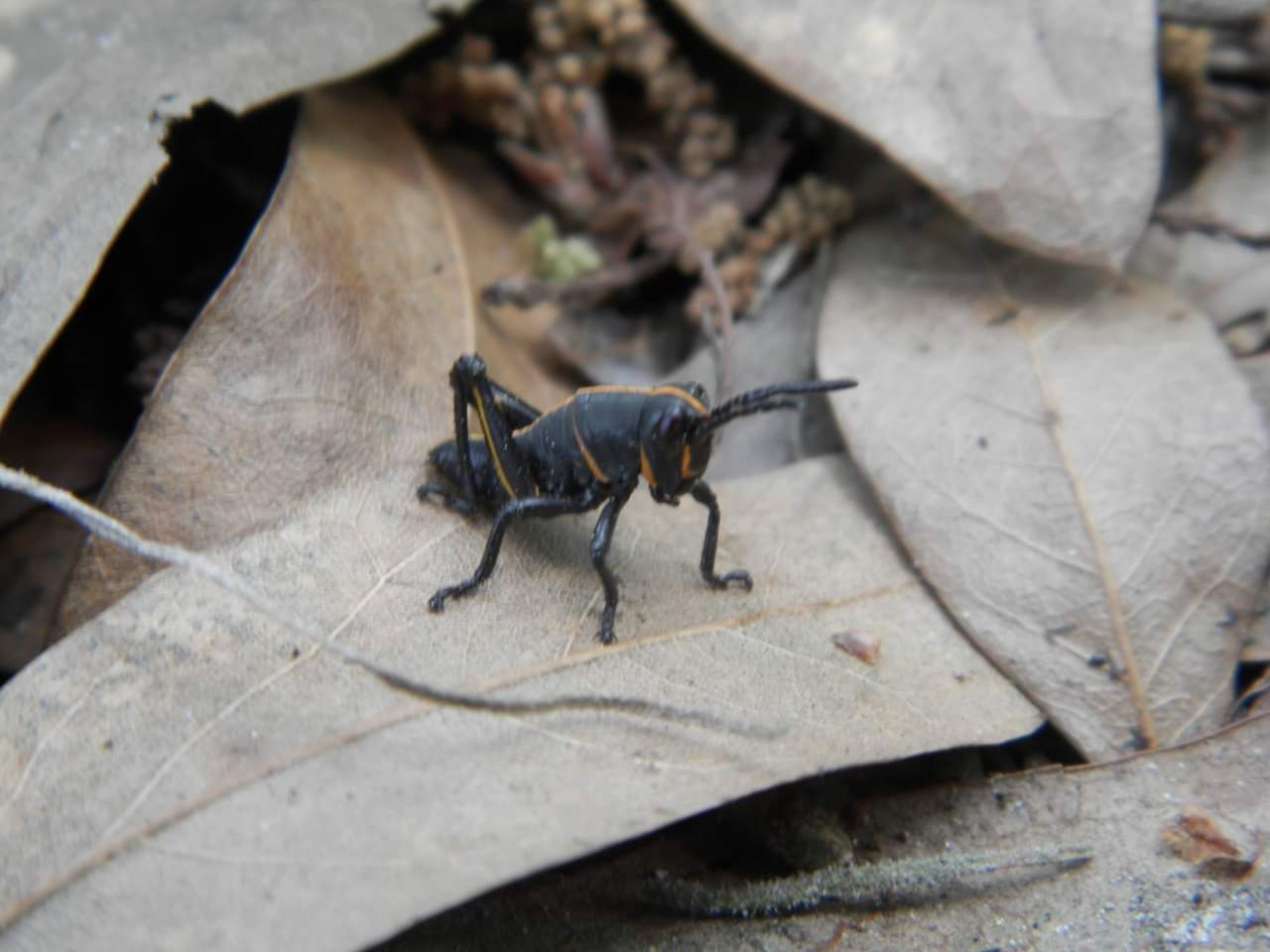
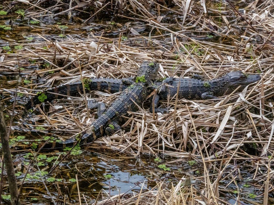
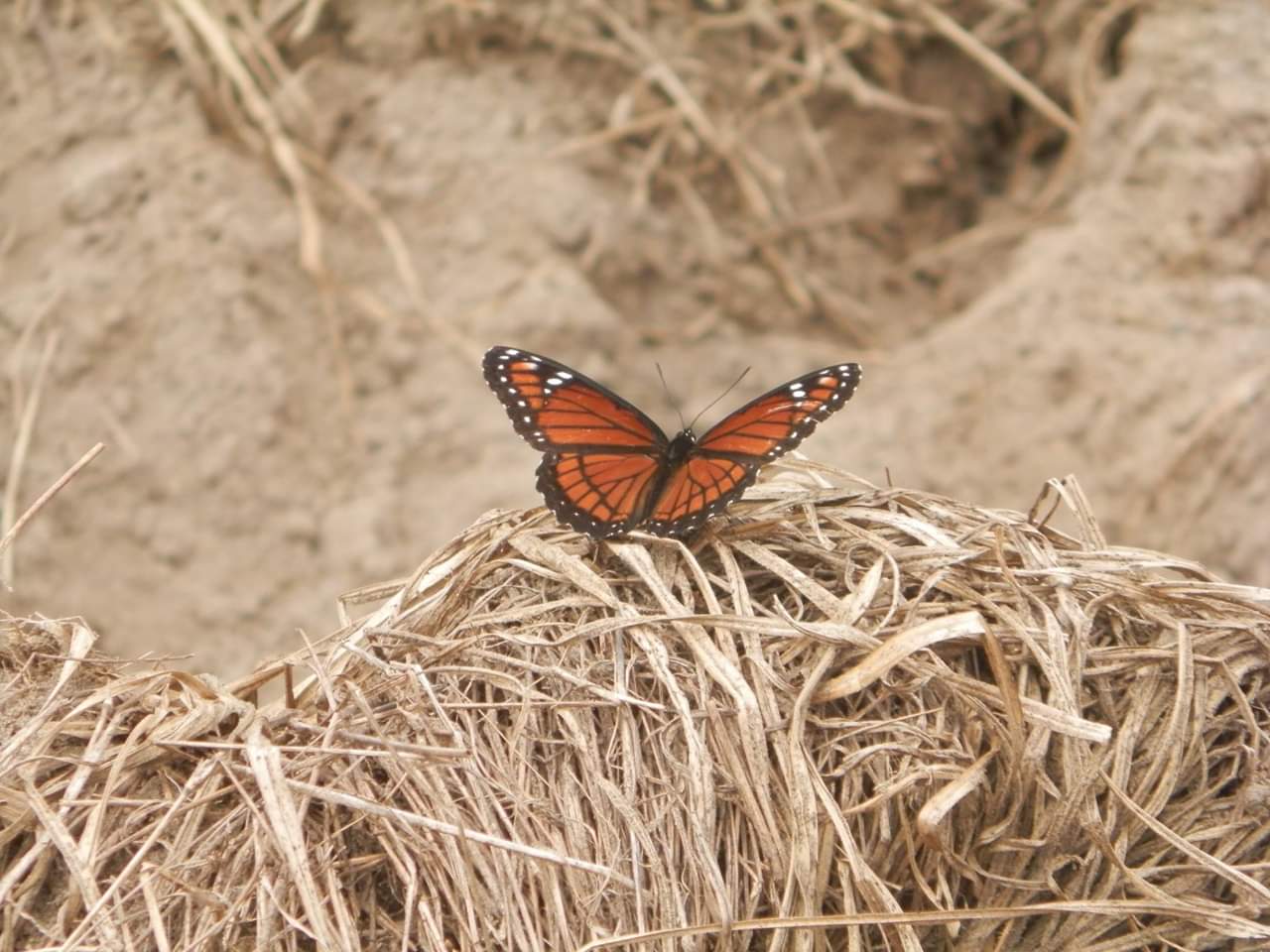
While strolling along the trails, keep your eyes open and up for various warblers, cardinals, other small birds, and some really gorgeous air plants.
There are restroom facilities at the entrance parking lot. If you intend to use the primitive campsites, book a reservation at the park website.
As life gets crazy, remember to take a little time to cut the cord for a while and reconnect with nature.
For more information: https://www.osceola.org/…/Lake-Lizzie-Conservation-Area
Photo Credit: Andy Waldo 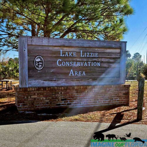


 wa
wa


 ted
ted


 onia
onia


Recent Comments