Cradle Creek Preserve
Withlacoochee State Forest
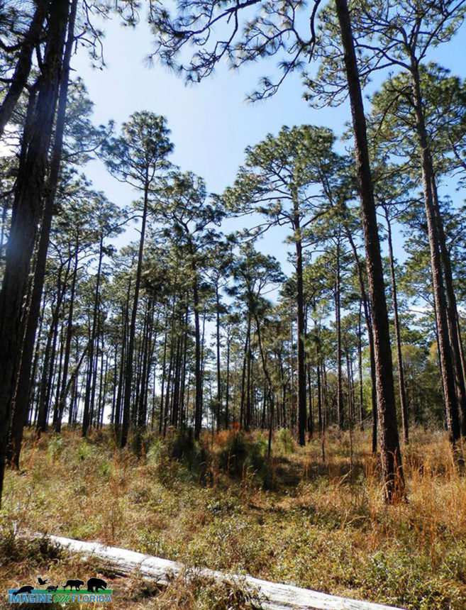
Withlacoochee State Forest has been named one of the “10 Coolest Places You’ve Never Been in North America” by the World Wildlife Fund. Managed by the Florida Forest Service, the Withlacoochee State Forest is located on U.S. Highway 41 approximately seven miles north of the town of Brooksville and 50 miles north of Tampa and is a nature lovers paradise.
Hike, bike, or horseback ride on miles of trails, or simply drive through the forest. Paddle the winding Withlacoochee River, Little Withlacoochee River, and Jumper Creek, all of which have been recognized as Outstanding Florida Waters.
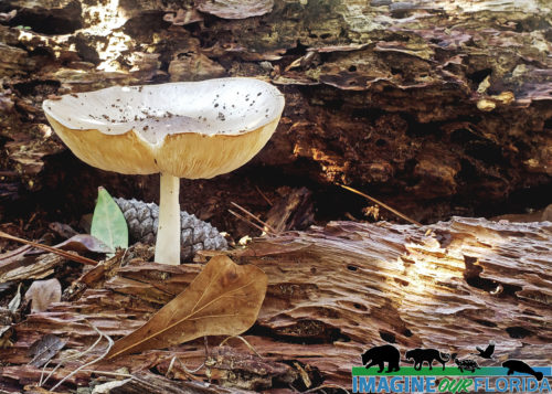
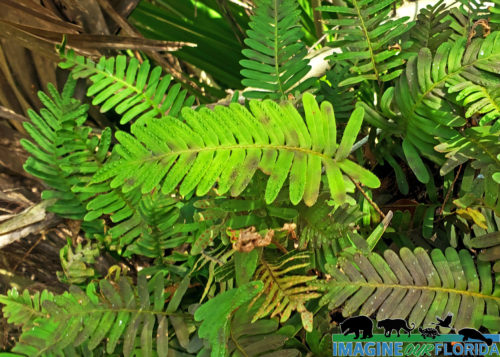
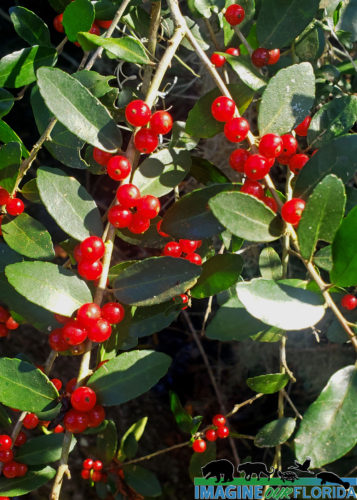
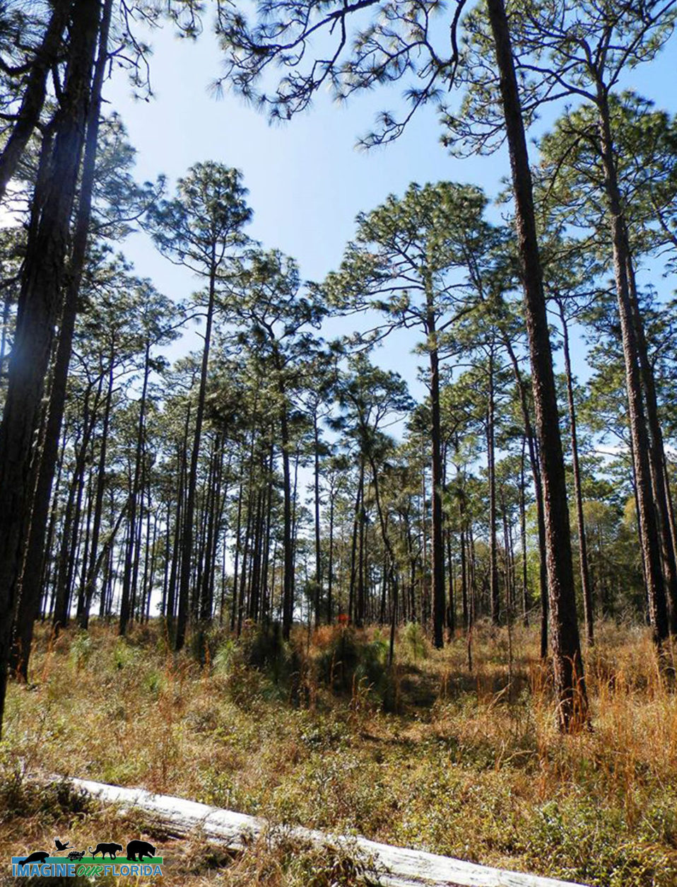
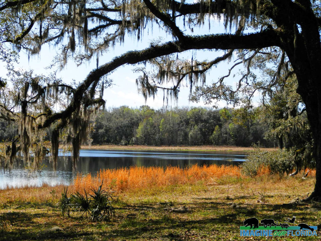
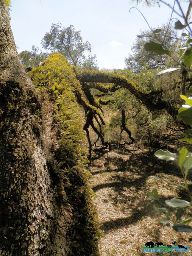
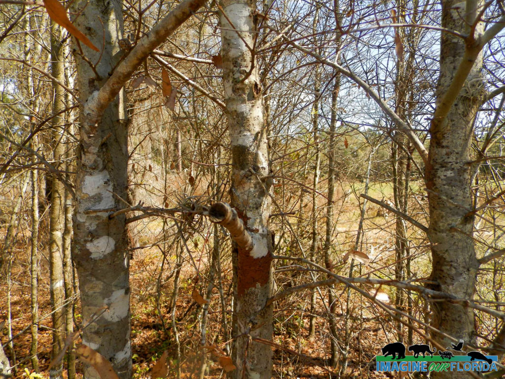
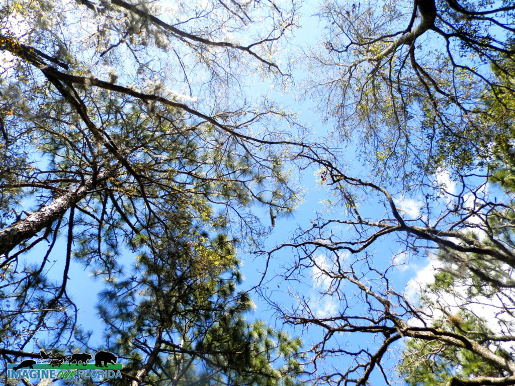
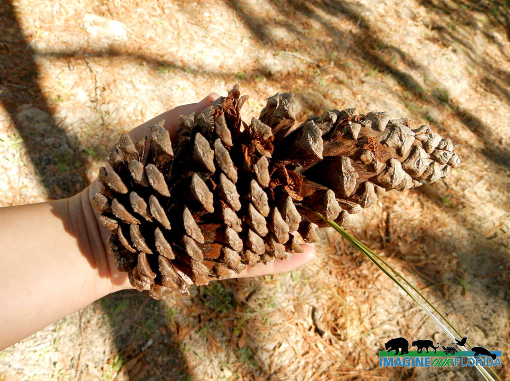
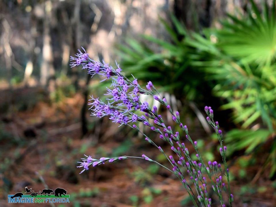
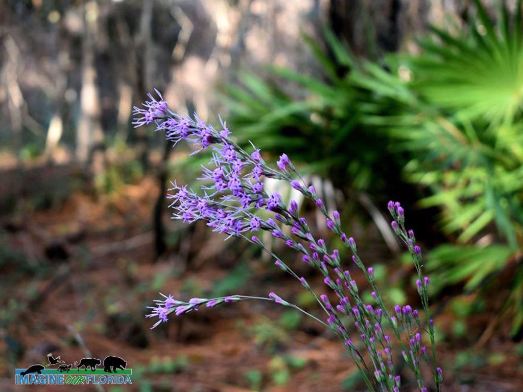
Notice the variety of trees at Withlacoochee State Forest. Discover southern magnolias, oaks, maples, gums, slash pine, longleaf pine, pond cypress, bald cypress, and hickory. Blooming blazing stars, goldenrod, thistle, and more will greet you along the way.
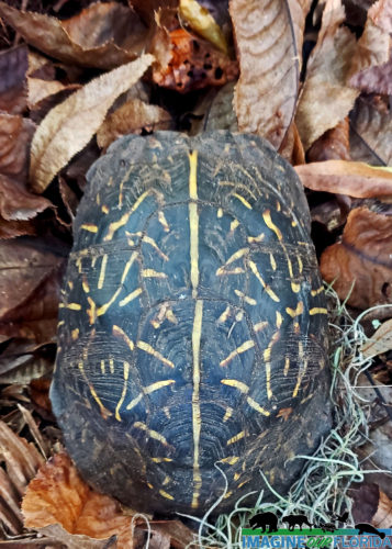
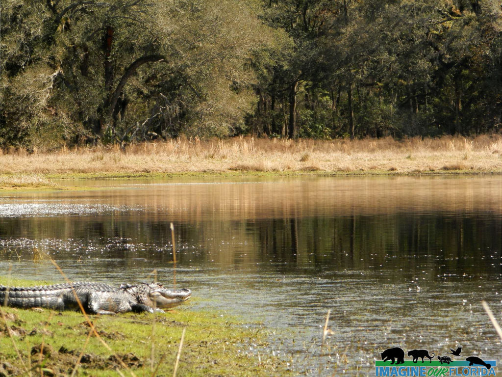
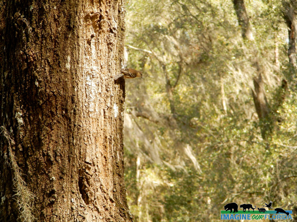
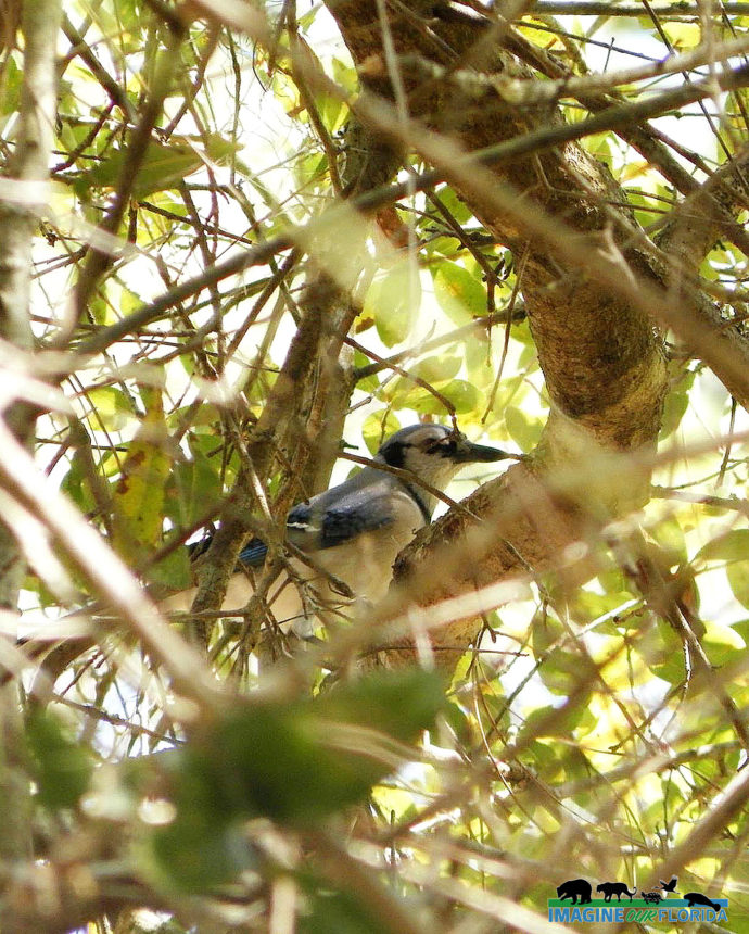
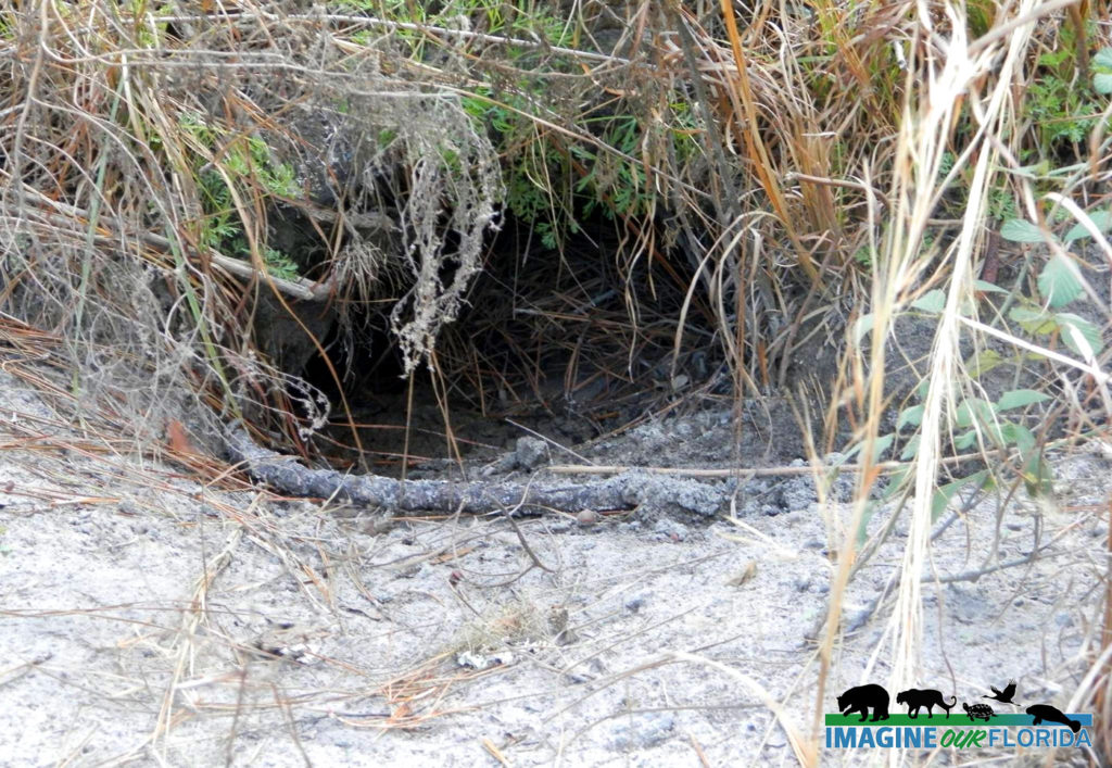
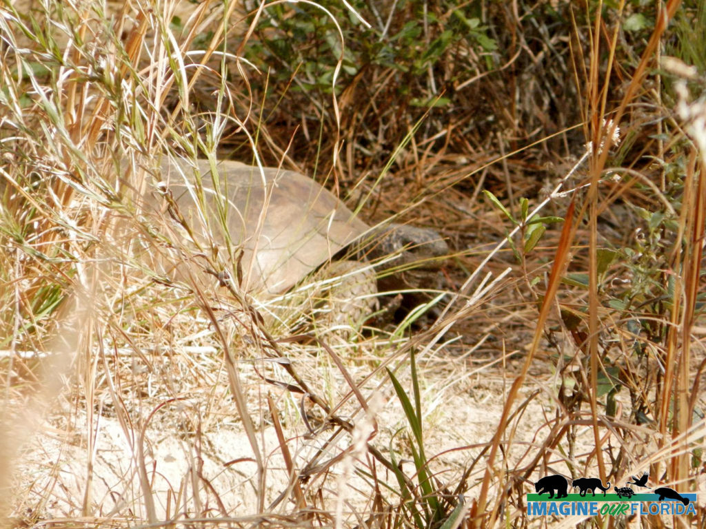
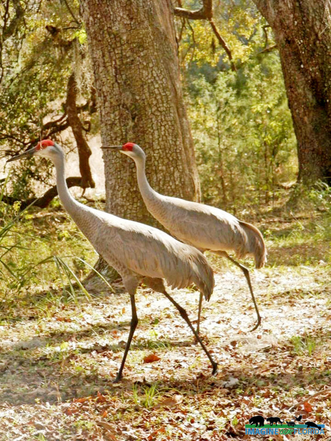
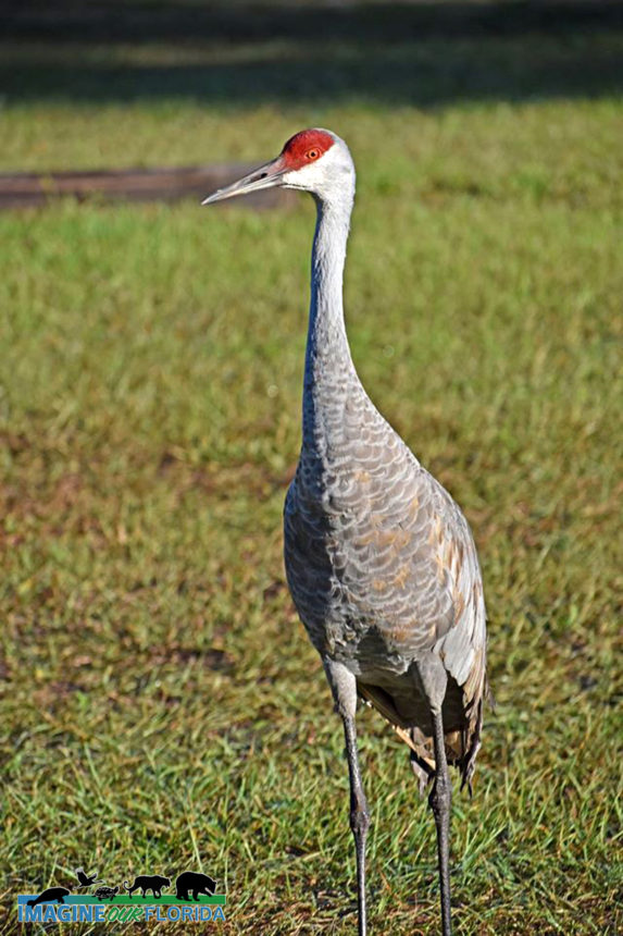
Withlacoochee State Forest is teeming with wildlife. The forest is part of The Great Florida Birding and Wildlife Trail and is designated a Florida Scenic Trail. Listen and look for fox squirrels, white-tailed deer, gopher tortoises, rabbits, gray squirrels, wild turkeys, sandhill cranes, hawks, bald eagles, and owls.
Croom Motorcycle Area provides 2,600 acres of off-road facilities for motorcycle and ATV enthusiasts.
For those who want to take their time and explore all of Withlacoochee State Forest campgrounds are available. There are several primitive campgrounds for those who want a more rustic experience. The Tillis Hill Day Use Area is a perfect place for larger gatherings. A pavilion, commercial-sized grill/smoker, and dining hall are available for cooking and feeding your guests. There are 3 pavilions and numerous picnic tables waiting for you to enjoy your picnic at McKethan Lake.
Leashed pets are allowed in some areas. Be sure to stop at the Withlacoochee State Forest Visitor Center for maps, current conditions, and more.
For more information: https://www.fdacs.gov/…/State-Fo…/Withlacoochee-State-Forest
Photo Credit: Aymee Laurain
Seminole State Forest
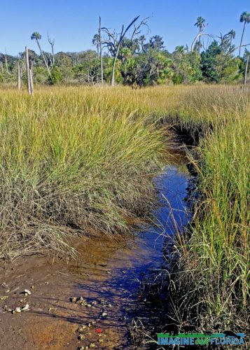
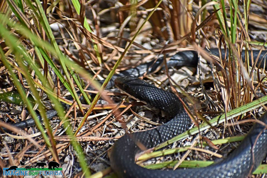
Seminole State Forest, located in Eustis in Lake County, boasts 18 different ecological communities, each with its own unique animals and plants, 15 springs, the Black Water Creek, and the Wekiva River. Sand pine scrub measuring 4300 acres provides a home for Scrub-Jays, Eastern Indigo Snakes, Hooded Pitcher Plants, and the iconic Florida Black Bear.
Acquired under the Conservation and Recreation Land, Save Our Rivers, Preservation 2000, and Florida Forever programs, Seminole State Forest is managed by the Florida Forest Service.
A hiker’s paradise awaits you at Seminole State Forest. There are more than 34 miles of hiking trails maintained by the Florida Trail Association. The National Scenic Trail crosses thru a 16-mile expanse of the Seminole State Forest and runs from Rt. 46 to the Ocala Forest. The North Sulphur Island Loop Trail is 8.5 miles and the Lower Wekiva Loop Trail is 10.4 miles.
There are 25 miles of equestrian trails and 25 miles of open roads and trails for bicyclists. Explore Black Water Creek in your canoe or kayak. Drive-in access for automobiles requires a permit.
Camp at one of the 5 primitive campsites, cook your dinner on the fire ring, and eat at the provided picnic table. Three additional walk-up campsites are located on the Florida National Scenic Trail.
Pets are welcome when on a leash.
Seminole State Forest is located in the Wekiva River basin and has 2 entrances. The Bear Pond Trailhead is located off of State Road 46, approximately 5 miles west of Interstate 4. Cassia Trailhead is located off of Brantley Branch Road, 0.1 miles east of State Road 44 in Cassia.
For more information: Seminole State Forest / State Forests / Our Forests / Florida Forest Service / Divisions & Offices / Home – Florida Department of Agriculture & Consumer Services
For more information: https://www.fdacs.gov/…/Our-Forests/S…/Seminole-State-Forest
Photo Credit: Andy Waldo

Recent Comments